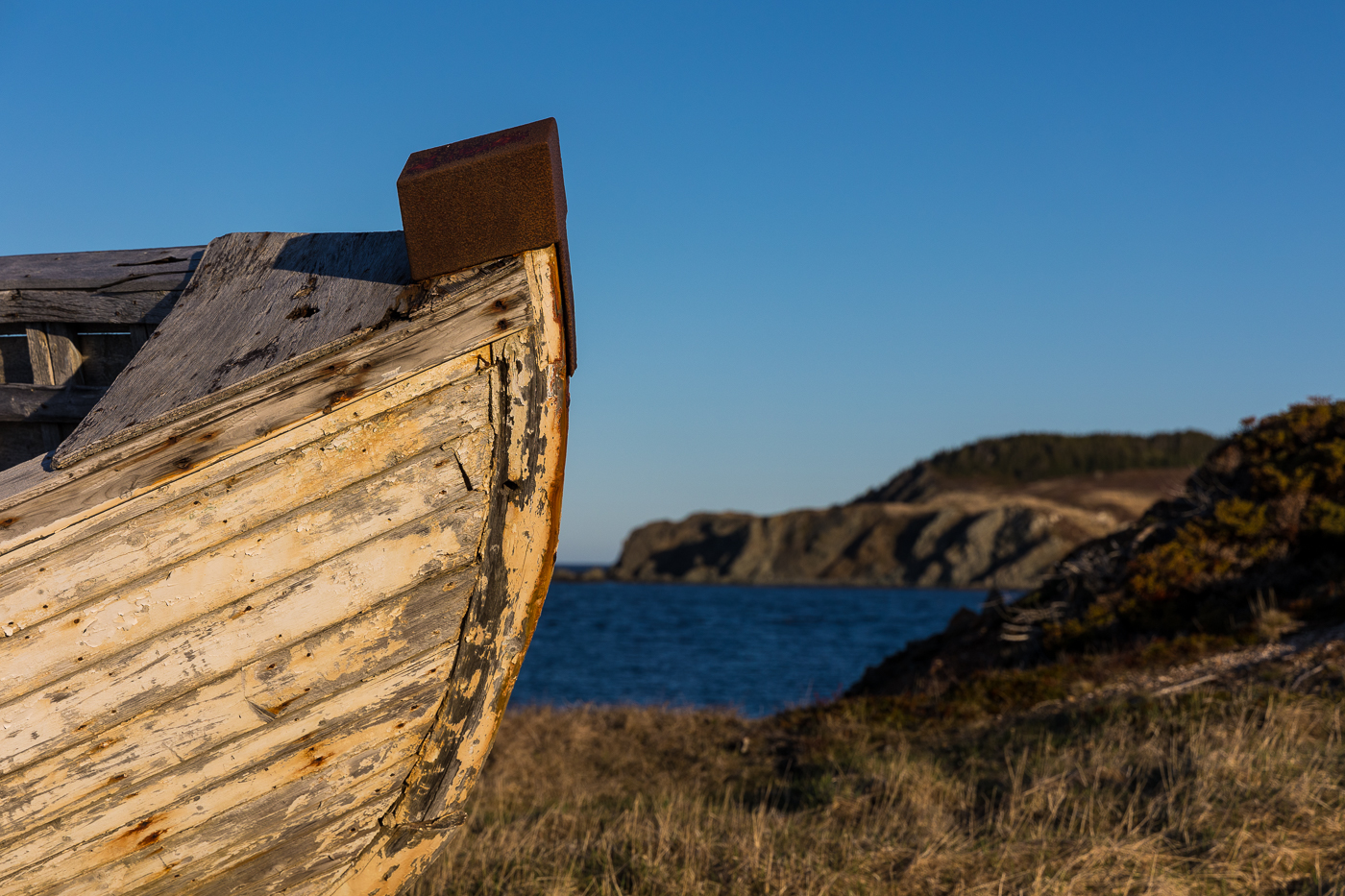
No one knows with certainty who wrote I’s the B’y but it was likely composed in the 19th century. The song was first transcribed in 1951 by folklorist, Kenneth Peacock, two years after Newfoundland joined Canadian confederation (as a side note-2024 marks the 75th anniversary of Newfoundland joining Canada). The lyrics capture aspects of outport life from that time including the cod fishing and community dances. Through the voice of a fisherman, the song details his skills of boatbuilding, sailing, fishing, preserving his catch, enjoying dinner, and heading off to a dance with the caller inviting dancers to go “all around the circle.”
I’s the B’y
I’s the B’y is a fast-paced raucous jig recorded by many provincial, national, and international musicians and is well-known and loved throughout the world.
I’s the b’y that builds the boat
And I’s the b’y that sails her
I’s the b’y that catches the fish
And takes them home to Liza
Hip your partner Sally Thibeau
Hip your partner Sally Brown
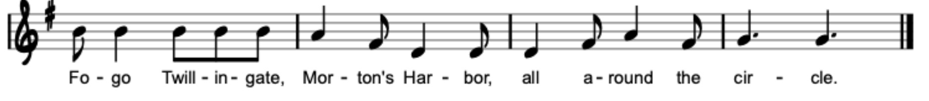
Fogo, Twillingate, Morton’s Harbour
All around the circle
Sods and rinds to cover the flake
Cake and tea for supper
Codfish in the spring of the year
Fried in maggoty butter
I don’t want your maggoty fish
They’re no good for winter
I can buy as good as that
Way down in Bonavista
I took Liza to a dance
Faith but she could travel
And every step that she did take
Was up to her knees in gravel.
Recognizing the song’s stature, Canada Post issued a stamp in 1993 honouring the song and in 2005, the Canadian Songwriters Hall of Fame inducted I’s the B’y to the Canadian Song Hall of Fame. Ron Hynes, a fellow inductee, described the song as “instantly recognizable” and that it has “found its way into every folksong collection in Canada.” Memorial University folklorist Phillip Hiscock researched the song and found that it emerged as a compilation of several songs. Hear I’s the B’y by clicking here.
Our Proposed Route
Our main objective of this expedition is to sea kayak “All Around the Circle” from Fogo to Twillingate and Moreton’s Harbour while at the same time, exploring the cultural significance of this folk song to this region as well as the province. It’s almost impossible to say that you are going to visit Twillingate, NL without someone asking you, “Are you also going to Fogo and Moreton’s Harbour?” This expedition will fulfill a long-time goal of ours of completing a self-propelled paddling version of “All Around the Circle.”
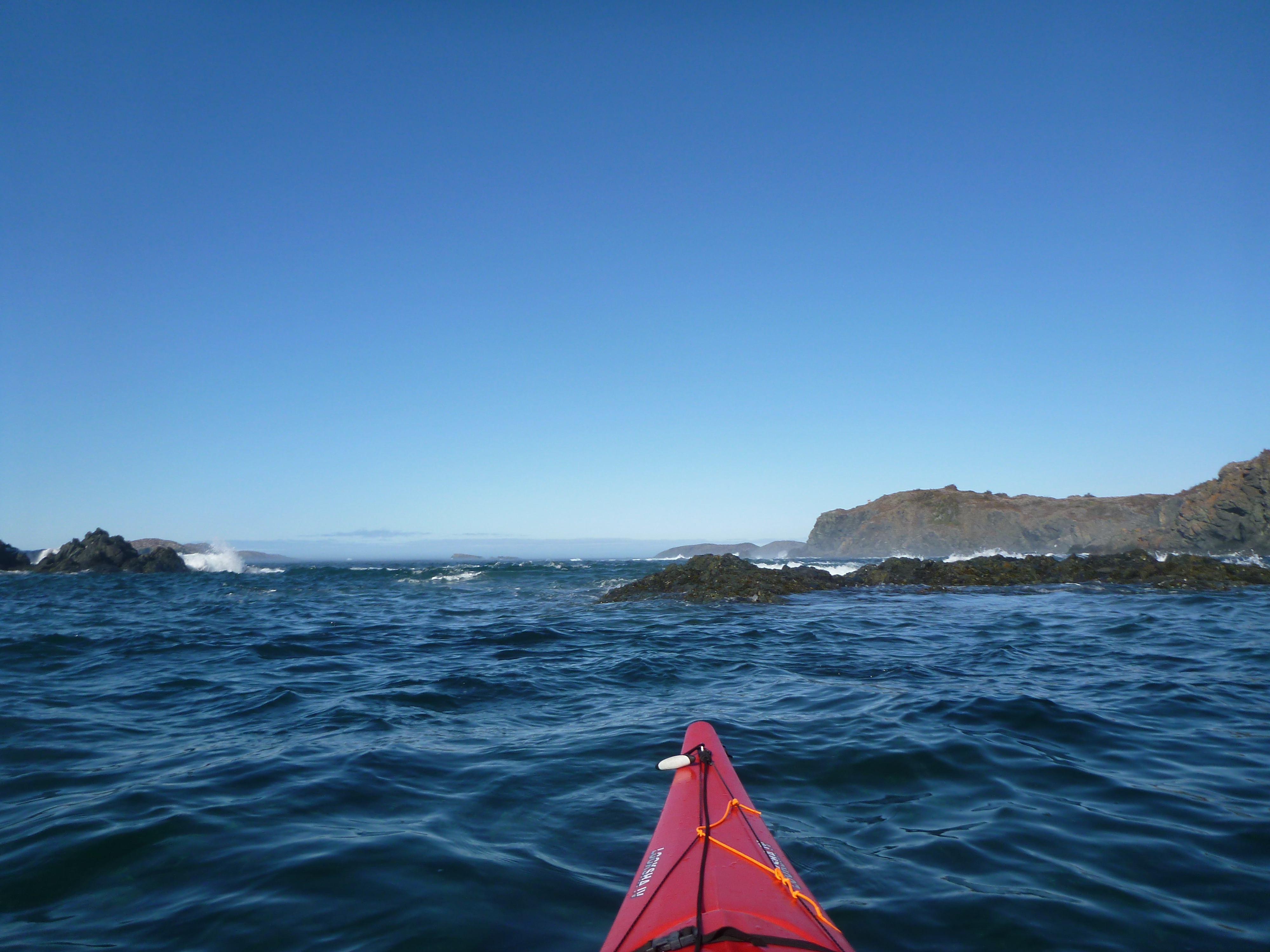
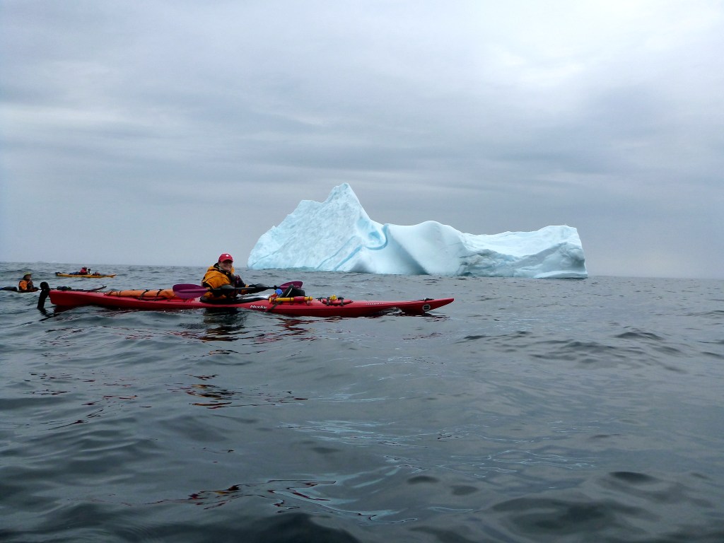
Following the lyrics of I’s the B’y, we will paddle a circular route that begins in Farewell, circumnavigates Fogo Island, traverses the Main Tickle of Change Islands, crosses to New World Island, reaches South Twillingate Isle, circles around to Moreton’s Harbour, edges along New World Island, passes through the Dildo Run (named in the17th century), and after approximately 250 km of paddling, returns to Farewell. The expedition will occur in July and early August 2024 and will last approximately three weeks. This expedition is supported by the Royal Canadian Geographical Society Expedition Grants program.
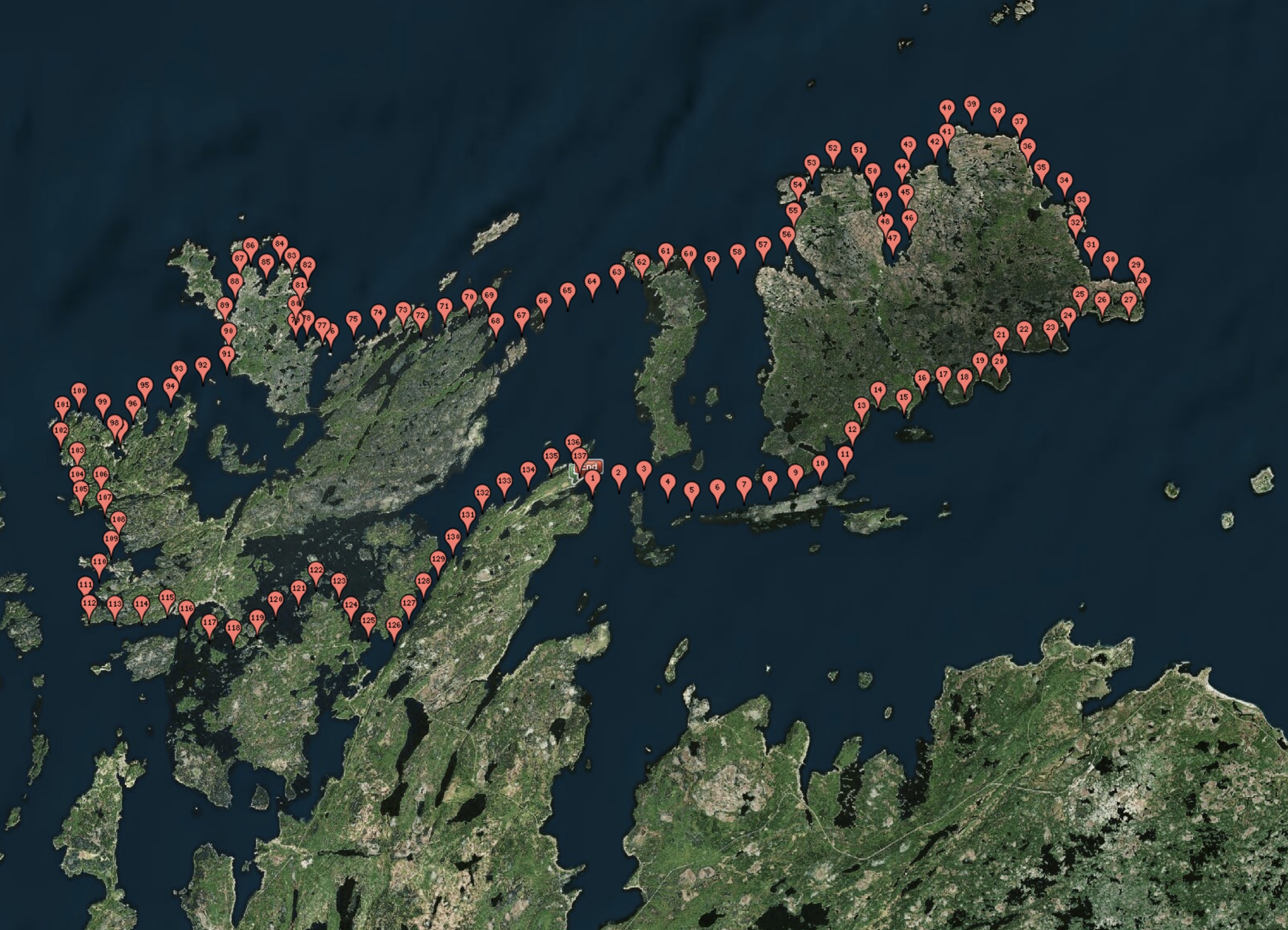
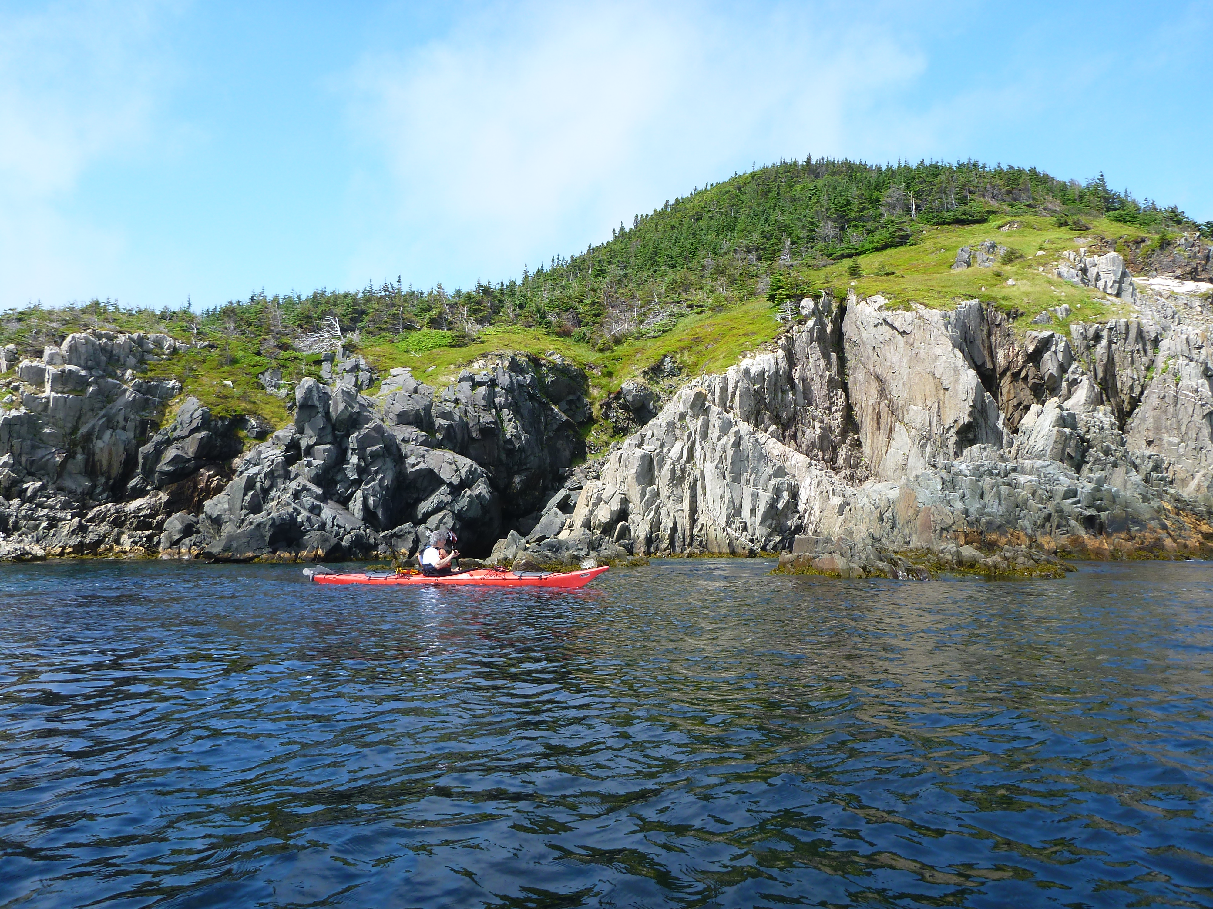
Launching from Farewell, our sea kayaking expedition begins at the edge of Notre Dame Bay, where Fogo Island stands as a testament to Newfoundland and Labrador’s maritime history. Separated from Farewell by 16 kilometres of Hamilton Sound, Fogo Island’s name may be traced back to the Portuguese word for fire, reflecting the forest fires that once burned there. We will island hop from small island to small island crossing this dramatic seascape. As we circumnavigate Fogo Island in a counterclockwise direction, we will witness the lush southern shore covered in tangled forest and boggy wetlands as well as the undulating northern plain with exposed bedrock, lichen, and treeless bogs. We will paddle past the famous Fogo Island Inn in Joe Batt’s Arm, make a cultural stop in Fogo town, and then round Fogo Head, paddling South for our crossing to Change Islands.
The community of Change Islands spans two islands that are connected by a causeway. One theory behind the name suggests that ships heading “down the Labrador” for fishing or seal hunting changed crews here. Another interpretation proposes that inhabitants changed islands seasonally, residing on the north island for summer fishing and moving south for proximity to winter wood sources.
From Change Islands, we have a more committing crossing Southwest to New World Island aiming for Jack’s Island and Cobb’s Arm. We continue North towards Pikes Arm and then paddle through Herring Neck to reach Too Good Arm. We aim next for Ship Harbour and Gut Arm. Passing through Gut Tickle, we paddle South past Merritts Harbour to position ourselves for the crossing to South Twillingate Island. With the crossing done, we paddle North once again, edging along Little Harbour Bight, Codjacks Cove, Spillers Cove, and rounding French Head before paddling South towards Durrell. Crossing the Durrell Arm positions us to round Carter Head in the shadow of Burnt Island and turn South once again into Twillingate Harbour paddling towards Jenkins Cove.
The town of Twillingate will be a resupply and cultural stop. Twillingate is a historic port that evolved from the French fishermen’s presence in the early 1600s. Originally named Toulinquet by the French, English settlers later renamed it Twillingate. Over the centuries, Twillingate thrived as a prosperous fishing port, trading fish with merchants who supplied salt and other necessities. Today, Twillingate thrives as a tourism destination, offering natural beauty and many outdoor activities.
We will leave Twillingate by paddling South through Shoal Tickle and along the coast of South Twillingate Island. At Bluff Head, we will cross to Matthew’s Island and then onto Toadasses and into Webber Bight. Rounding Wild Bight Head, we paddle South again. We will take another cultural stop in Moreton’s Harbour to learn more about the smallest community of the three highlighted in the song. Though lyrics of I’s the B’y stop in Morten’s Harbour, we continue by paddling North around Morten’s Harbour Head, Northwest to Western Head, and turn South again to hug the coastline to Whale’s Gulch, Bridgeport Harbour Head and then onto Puzzle and Cottle’s Bay.
After exploring Intricate Bay, we round Farmer Head and paddle into the Summerford Arm. Using the Dildo Run, we change island handrails to Chapel Island and paddle Northeast to round it and cross to Dunnage Island and paddle alongside it until we reach Beaver Cove and the Port Albert Peninsula. Now paddling Northeast once again, we paddle past Port Albert and Hare Island. Passing South of Farewell and Duck Islands, the end of our expedition nears, and we return to Farewell to take out.
By paddling in the wake of the lyrics of “I’s the B’y,” we aim to celebrate the spirit of outport Newfoundland and Labrador, forging lasting memories and connections with the coast and sharing its rich heritage. Our expedition is an opportunity to explore the lyrics of this folk song in a tangible and immersive way by weaving our own expedition story on the weft of this region’s folk traditions and rich maritime culture.
Introducing the Team
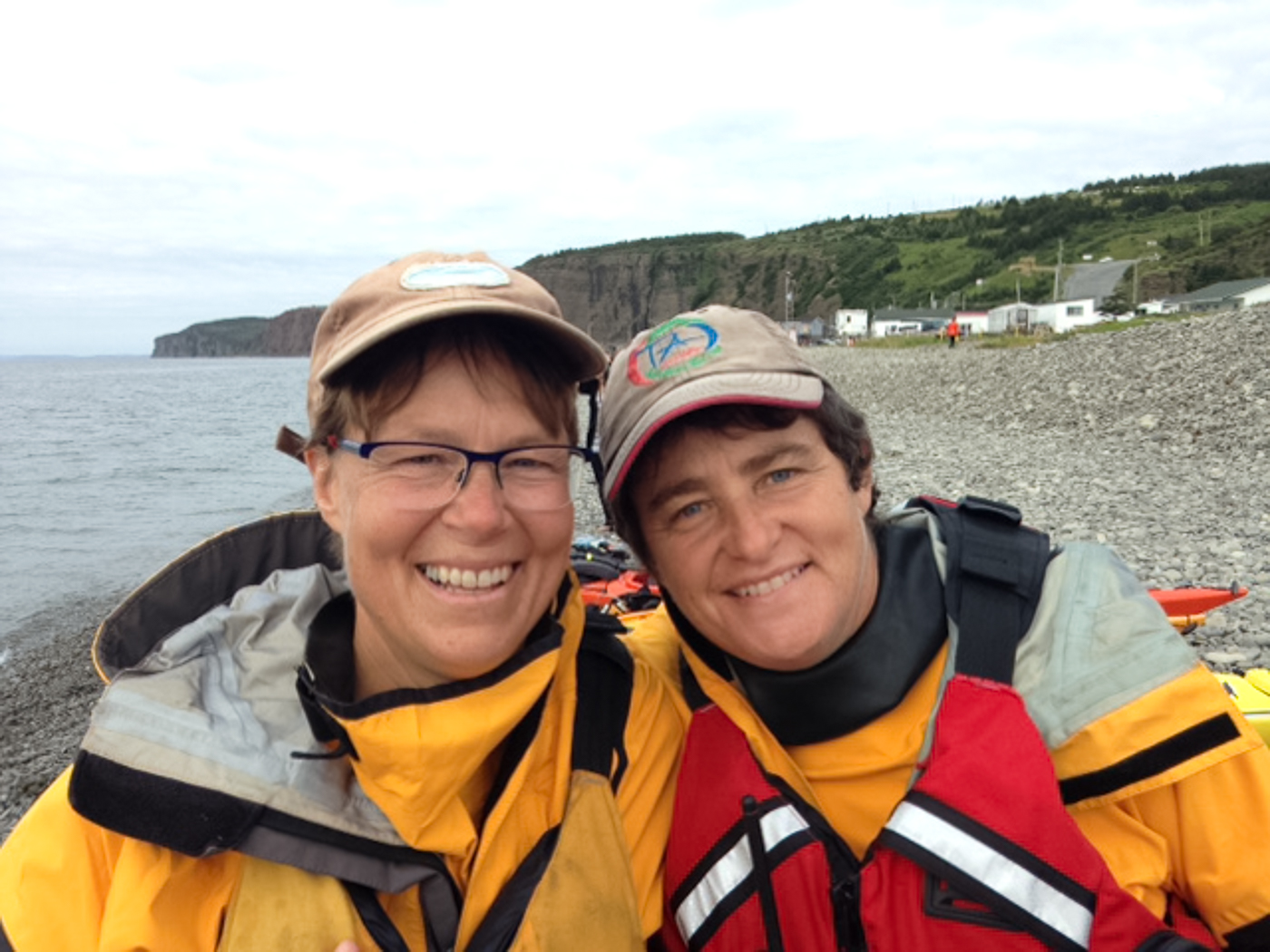
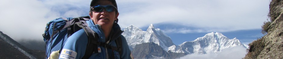
TA is an outdoor educator at Memorial University. TA has led and taught over 1000 days of outdoor field instruction with students. TA has conducted 35 community-engaged expeditions spanning two decades and over 1100 days in the field.
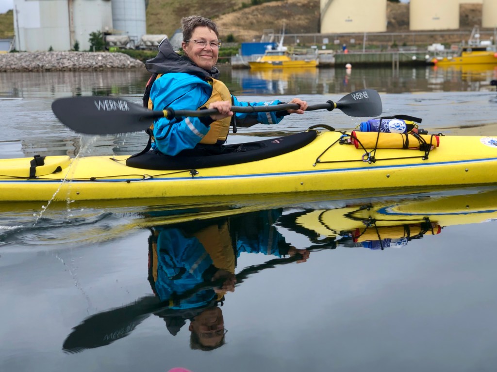
Marian is an avid paddler and hiker. Marian has developed her sea kayaking skills through several expeditions along the Newfoundland and Labrador coast.
Expedition Summary
We will embark on a sea kayaking expedition inspired by the traditional Newfoundland folk song, I’s the B’y. Our goal, like the song, is to paddle “All Around the Circle,” exploring the rugged and picturesque coastline while, at the same time, sharing the rich cultural heritage of this region of Newfoundland and Labrador. Inspired by this most beloved folk song, the expedition route will take us to Fogo, Twillingate, and Moreton’s Harbour. As we pass through these three communities, we will connect with key individuals who can share their interpretation of I’s the B’y and its cultural legacy with us and expedition followers. The expedition’s 250 km route has a mix of wild, remote, and committing paddling coupled with visits to communities along the way. These community visits will provide opportunities for cultural exchange, storytelling, and perhaps even impromptu musical performances inspired by the folk song that guides our route. We hope you will join us by tuning into our daily audio casts and following along on our route as we progress, “All around the Circle!”
")


What a great adventure!! Can’t wait to hear all about it and see the pictures.
Pingback: A Circle of Rhubarb Chutney, Salt Fish, and Paddling | TA Loeffler's Adventures that Move