Fun Fact of the Day
DID YOU KNOW?
The ice that covers Greenland is the second biggest connected mass of ice in the world and has a thickness of average 1,500 meters
Today’s Activity
For our last Marvelous Map Monday Activity we are going to find out the start and end locations of TA’s expedition! To find this information you must go back though all the “Where’s TA?” posts. Find the first post that went with their first camp and then find the last post where they are waiting for the Twin Otter Plane to pick them up and bring them back to Iceland. When you find the start and end posts you can look at the latitude and longitude that goes with each to see how far they travelled in total!
")


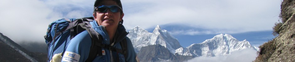
Congratulations T A. The joy and accomplishment is very evident in your voice as you finish your Greenland adventure. You’ve hiked 275 kilometers by ski and summitted Gunnbjorn Fjeld, the highest summit in the Artic. Wow! All of the Gr. 4’s from Holy Trinity have followed your adventure, we will look at the map tomorrow, to find the changes in latitude and longitude from your start to finish point. It is quite exciting to listen to your audioblogs…(like being there but not really) Thank you for sharing this adventure with us….we wish you health and happiness on your trip to Iceland and then back home to Newfoundland.
Paula Coughlan…..and Gr4’s Holy Trinity elementary
Thanks so much for coming along on the expedition. We loved receiving your questions and comments.