I often seek out videos on You Tube and other sites as a way to preview and visualize the mountain I am about to climb. I study the route and land marks as well as what the climbers are wearing and what equipment they are using. The imagery helps me prepare my own gear and keeps me psyched in training (and often scares me a bit too). Here are a few I have been watching of late.
King Trench Route (Google Maps animation)
2009 Expedition (Part of the Panamerican Peaks Expedition, summit around the 4:00 minute mark)
This one gives you French practice at the same time (2011 Expedition)
2006 Expedition
")


Fascinating difference in the two experiences. It was great for the fist group to make the summit but I found the Quebecois’ patience and good humour in the face of such disappointing weather inspiring, as was their good decision to head back.
It is amazing how different groups, even on the mountain at the same time, can have totally different experiences depending on the ethos and attitudes of the group members…I’ll take a group with good humour most any day.
Any concerns with altitude and acclimatization?
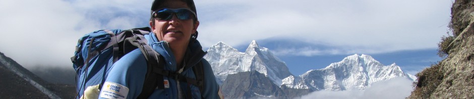
My understanding (and experience) is that peaks nearer to the poles feel physiologically higher than their stated altitudes (somewhere in the 500-900 metres) higher range. So, yes, we’ll be thinking carefully about acclimatization schedules and rest stops along the way. The general recommendation is no more than 350 metres gain per day and a rest stop after every three. Fortunately, since it often impossible to stick to these guidelines, I’ve had a good history with acclimatization in the past (though like mutual funds, past performance is not indicator of future performance). My body seems to remember what it needs to do. Mount Logan is nearly 6000 metres so I’ll likely feel every step. I will be climbing in Nepal (possibly as high as 6500 metres) so hopefully some of that acclimatization remains. Another general rule is that it takes about half as long to lose it as it did to gain it. Athletes seem to hold it a bit longer and I may try to use the Go2Altitude System at work to try to keep my Nepal adaptations for Logan.