Day Two dawned fine and still. Harp Lake was forgotten. We spent our first day exploring the southern end of Shapio Lake. The mirror surface of the lake produced a landscape-size kaleidoscope of rock and sky.

Northern Lights over the Adlatok River 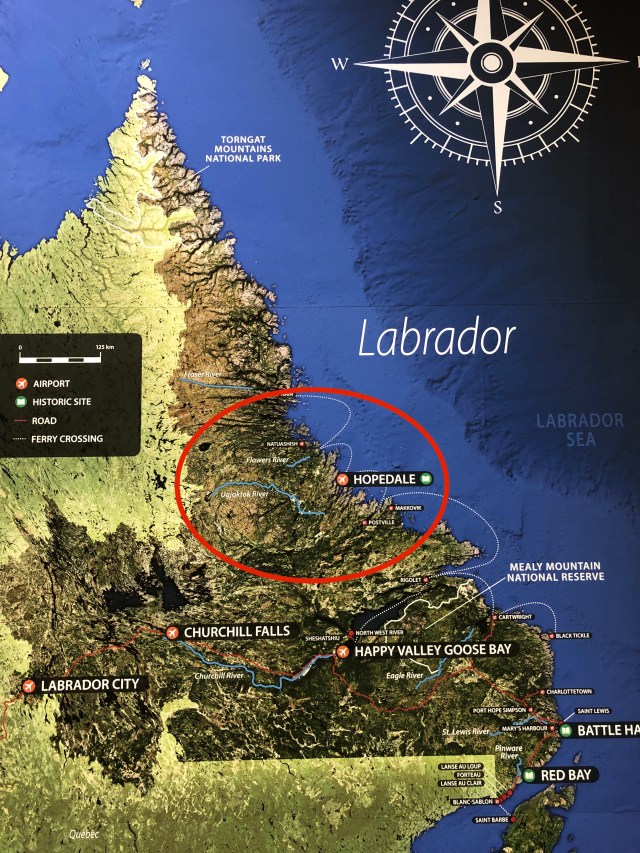
The Overview Map of Our Route 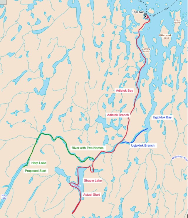
Our Route Overview Map 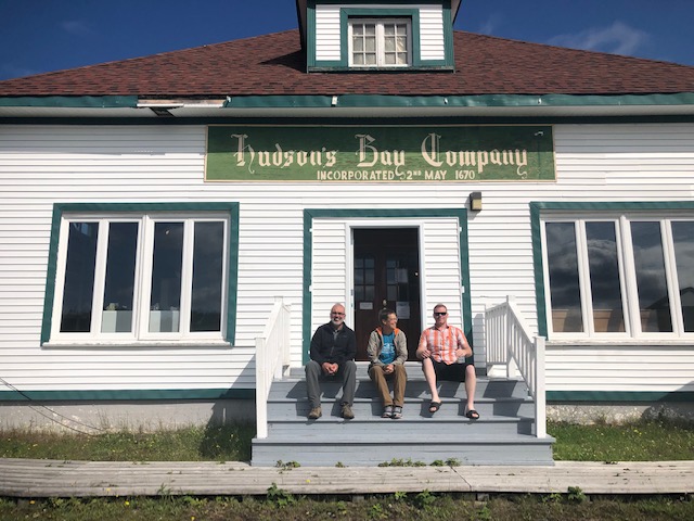
Former Hudson Bay Store inNorthwest River 
Tracking up a River 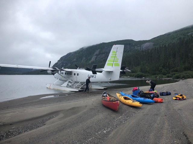
Landing on Shapio Lake 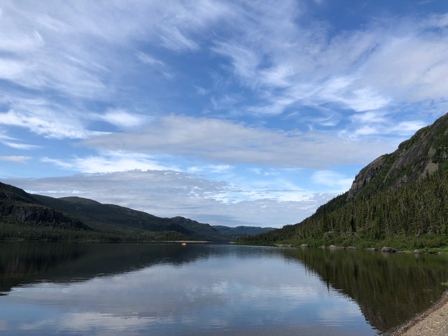
Still Waters of Shapio Lake 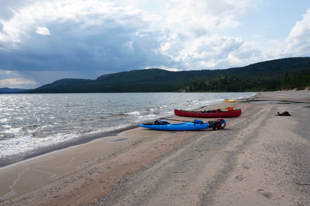
Boats at the North End of Shapio Lake 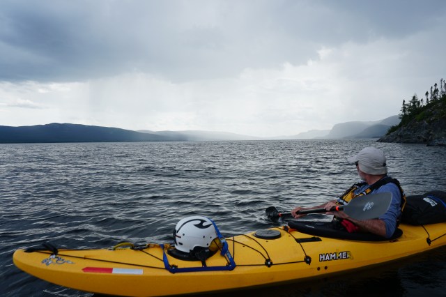
A storm moving in 
Lining the canoe around the first rapid 
Waterfall leaving Shapio Lake 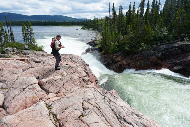
Darren above the first waterfall below Shapio Lake 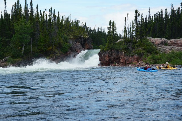
The upstream view of the second fall below Shapio Lake 
Map consultation 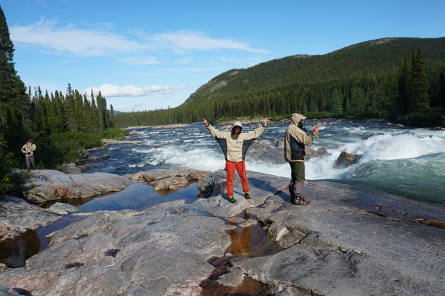
The first set of falls on the Shapio River 
Nearing the canyon on the Adlatok River 
Reaching the Labrador Sea 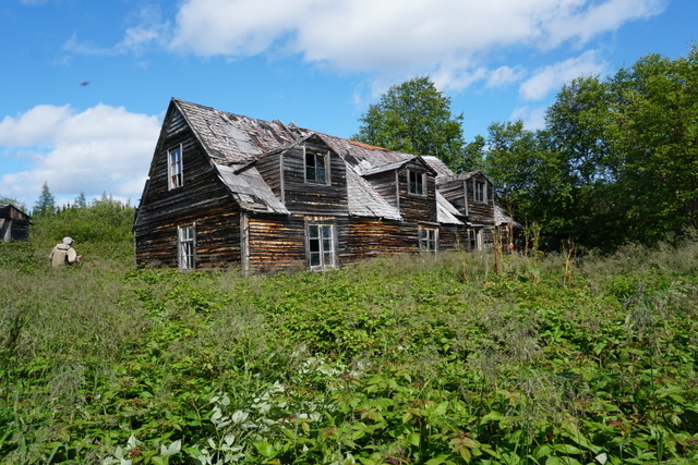
Old house in Adlatok 
Beauty Campsite 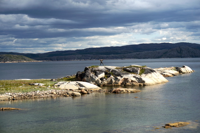
Mark jumping for joy 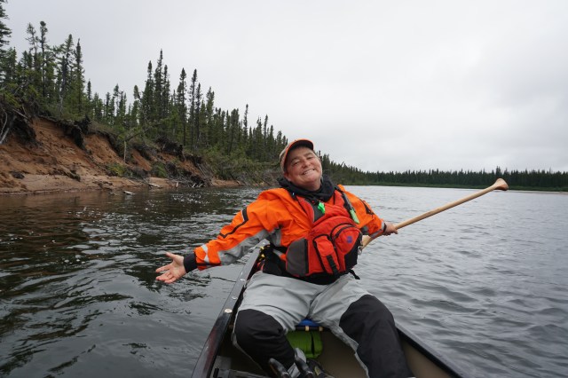
My “fancy pants: new drysuit 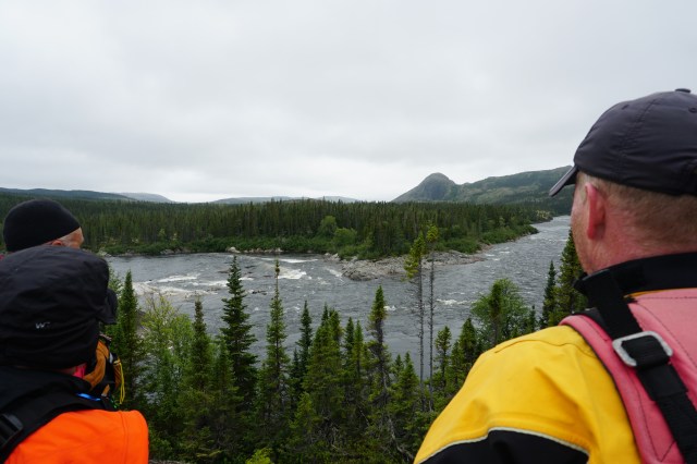
Looking over the last rapids on the Adlatok River 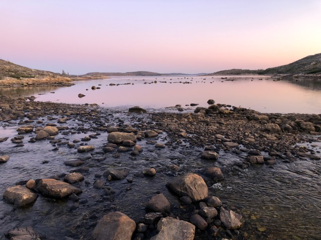
Sunrise over a tidal bay 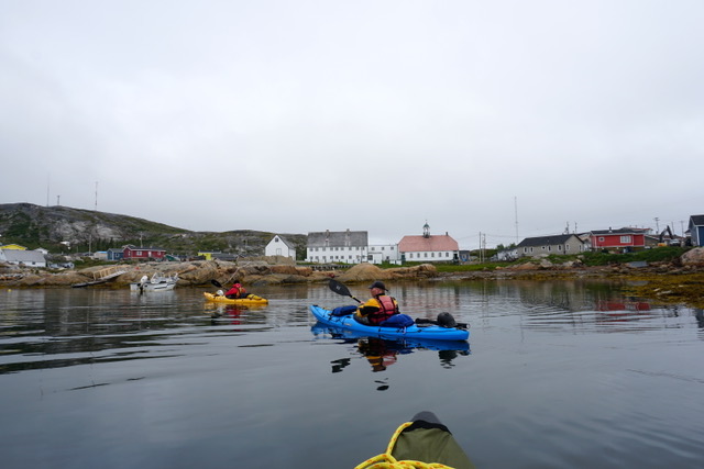
Reaching Hopedale 
Iceberg near Makkovik 
Visiting Makkovik on the ferry right South 
Visiting Postville 
Visiting Rigolet 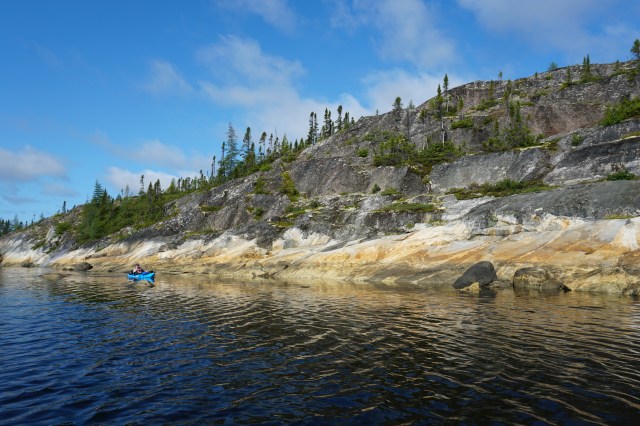
Paddling on a mirrored sea 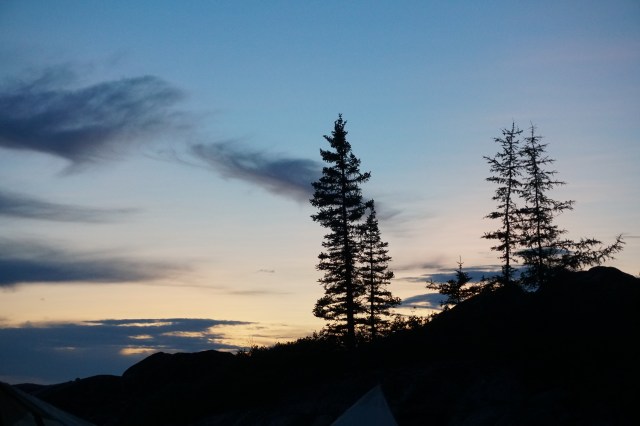
Trees against a colourful sky 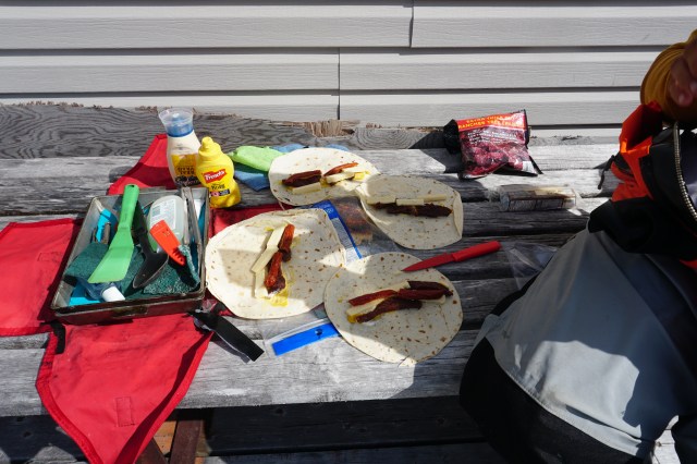
Lunch! 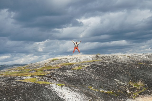
Marian making a very fancy shape 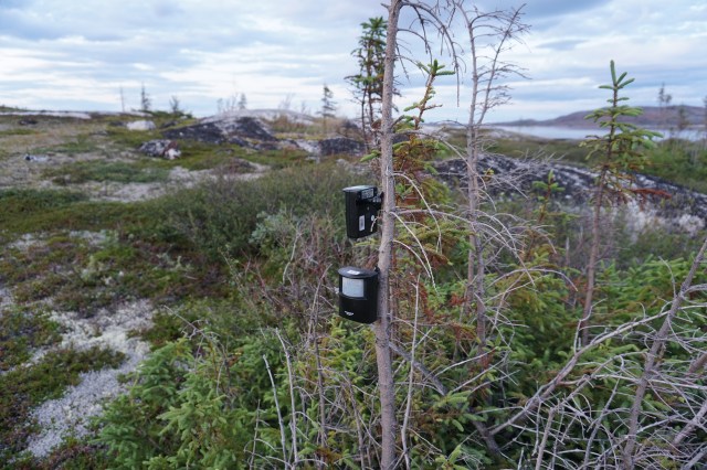
Mark’s high tech bear detection system 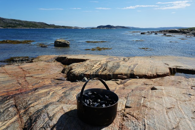
Mussels on the shore 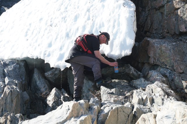
Darren acquiring cold water on a hot day 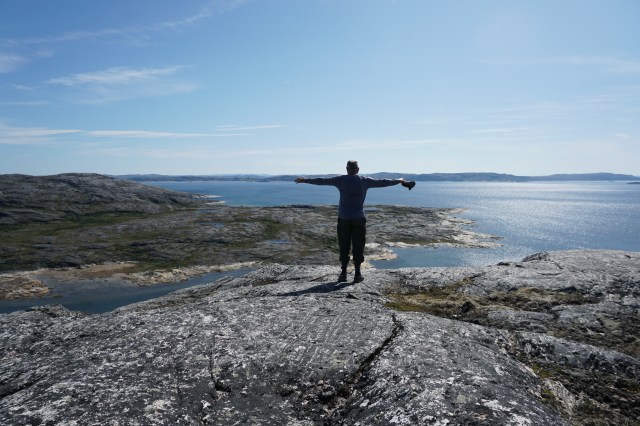
Mark making a shape high above the Labrador Sea 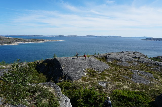
Making shapes while waiting to see the ferry headed for Hopedale 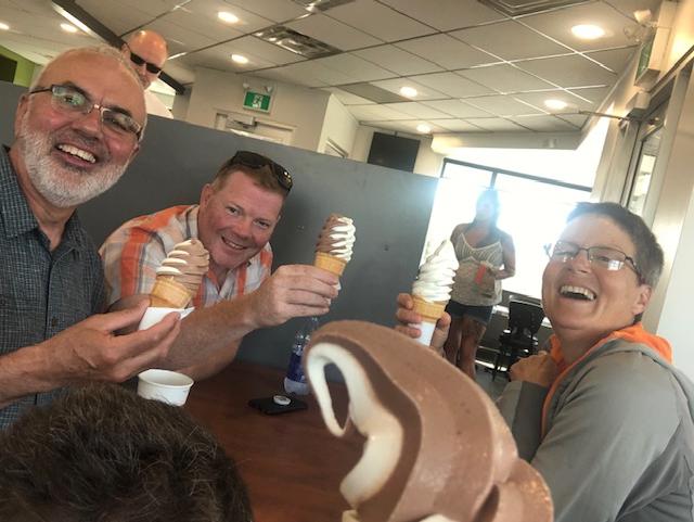
Celebrating in Goose Bay
Journeying together in remote and wild places requires us to depend on each other in deeper, and often unspoken ways–learning and knowing each other’s strengths and places of struggle–bringing out the best of ourselves as we navigate the wild water, the stormy skies, and encounters with wild animals.
Read the whole story…
")


