As part of my All Around the Circle Exhibit as part of the Unscripted Festival, opening in Twillingate on September 4, I am making it easy for folks to listen to the calls I made in from the field. As part of my first public exhibit, there will also be photography and a video from the expedition on display in the Long Point Lighthouse. I hope some of you can check out my first art exhibit!
Click on the titles below to listen to the Calls from the Field:
Our kayaks at our last camp before paddling to Cartwright this morning from North River. What a time we had! Ten days of amazing experiences paddling from Rigolet to Cartwright. I look forward to sharing more pictures and photos over the next while. Thanks to all who followed along!
This is our current location on the Labrador 2024 Rigolet to Cartwright Expedition. All is well. Check out taloeffler.com for other posts about the expedition.
This is our current location on the Labrador 2024 Rigolet to Cartwright Expedition. All is well. Check out taloeffler.com for other posts about the expedition.
This is our current location on the Labrador 2024 Rigolet to Cartwright Expedition. All is well. Check out taloeffler.com for other posts about the expedition.
This is our current location on the Labrador 2024 Rigolet to Cartwright Expedition. All is well. Check out taloeffler.com for other posts about the expedition.
This is our current location on the Labrador 2024 Rigolet to Cartwright Expedition. All is well. Check out taloeffler.com for other posts about the expedition.
We tried to get into a river and it was too low a tide for that, but fortunately, our beach today, is like the ultimate bonus- it has running water coming out of the corner of it.
So that means we’ll leave here with full water, which is excellent because we haven’t seen that much running water on the trip.
We almost went up the Frenchman’s River corridor, but that would have been a five or 6k journey upriver to try to get to where the water was sweet or fresh because of the tide level we were at.
So anyway, we’re settling in, and routines are starting to happen.
The rosy pink sky is being reflected in the wash off the beach.
I don’t think we spotted any bear track on this beach, but every other beach we’ve seen lots and lots of bear track.
There are some moose tracks I need to go check on that Ken spotted.
Lots and lots of young ducks today, mergansers, lots of cormorants and a whole seal rookery with the seals all hauled out on rocks.
Some were kind of in the classic banana pose and some were just totally draped to sleep over the rocks and we just kind of quietly went by them and a huge juvenile bald eagle on a hill that looked so big from so far away.
We thought he could have been, maybe the stellar eagle had come for a visit, but no, he wasn’t quite ready to be a stellar eagle.
He’s a teenager being big and awkward, so.
Anyway, we’re having a fine time, we’re well-fed.
Tonight’s dinner was chili with couscous and cheese and applesauce and ginger snaps for dessert.
So we’re full, we’re happy, we paddled about 25k or so today and we’re pooped, so it’s off to bed we go.
Have a great day, hope you had a good day and we’ll catch you tomorrow
Bye.
This is our current location on the Labrador 2024 Rigolet to Cartwright Expedition. All is well. Check out taloeffler.com for other posts about the expedition.
Hey, hey, this is T.A. calling in from day three of Labrador 2024 Rigolet to Cartwright kayak trip, and my goodness!
We just watched another amazing sunset-big red ball, so I’m wondering if there’s smoke in the air, the moon is full, or both?
Anyway, we’ve had another rich and full day. I’m probably too tired to tell you about it.
It was a great start to the day, with a big breakfast of hashbrowns, bacon, and eggs that got us all fueled up.
We then left the beach. There was just a little bit of lop on the beach, so it was a little exciting start to the day.
Essentially, it felt like we had a quartering BMC for much of the day, sometimes kicking up pretty good and other times not too much. And what made the difference between kicking up and not so much? How much into the shallows we were. This part of the Labrador coast has these bays that, at low tide, just like the Bay of Fundy, you can walk on the bottoms and then at high tide, they fill right up. Islands appear, and islands almost disappear. So we have to be pretty thoughtful about where we place ourselves for camp and lunch.
Today we got some water at a brook and couldn’t stay too long because we might not have been able to get out of the back of the bay where we went up a little river. So we’re watching the tides carefully.
We just watched the high-high tide go by. We’re having our high-highs in the evening time so far and of course, it’s progressing about 45 minutes every day.
The tide is doing a really big part of this trip in terms of where we can go, where we can stay, and what we think about.
Today it prevented us- a lowering tide made us have to go around a little island group rather than right along the coast because we didn’t happen to be there at the correct tide. There was no chance to ever be there at the correct tide given how the tides were but we were hoping it would let us through.
It would have been another episode of The School of Drag if any of you happen to have seen my video of Mark on the Adlatok River where he had to do some kayak portaging. Marion and I did some canoe portaging on that trip.
Anyway, it was sunny.
It was beautiful.
There was wind, there were waves, there was an amazing morning light and an even more amazing evening light. We’re hoping that tomorrow is the same.
So I hope you had a great day and we’ll catch you tomorrow.
Bye.
This is our current location on the Labrador 2024 Rigolet to Cartwright Expedition. All is well. Check out taloeffler.com for other posts about the expedition.
Hey, hey, this is TA calling in from Day Two of Labrador 2024 Rigolet to Cartwright.
And my goodness, have we had a day!
I think there’s only one direction for the trip to go though since this day was so good. There’s always more amazing things to see, but what a day.
We closed our day watching a most gorgeous sunset over Groswater bay and the sky was striated with clouds and the sea was reflective and we were sitting on some rocks.
And we just had a delicious meal of spaghetti Bolognese and pineapple carrot salad.
And that–was after seeing, I don’t know, 25 seals and having a minke swim with us for about 45 minutes, swimming under all of our boats and giving us each a startle when it would appear in front of our bow and it swam beside and under Mark’s boat for about 15 minutes or so to the point where Mark said, “Wow, maybe I have a minke as a pet.”
Just a spectacular time of a young minke whale interacting with us on its own terms.
We just kept paddling, and it kept coming back and coming back and coming back and minkes are so fast it’s pretty hard to catch them in a picture with us.
But we’ll never need a picture to remind us of that moment.
We travelled almost 20 kilometres, and we’ve settled on top of a point with crowberry and caribou lichen, so our beds are soft with beautiful views in all directions. And that’s good because this morning we also saw our first bear. So, we know they’re here with us. We’ve seen bear scat also around the beach from us here and there’s a well-worn animal game trail. So, this is their territory, and we do our best to steer clear of them.
Our food stays in the hard shell of our kayaks. We cook away from where we sleep.
And this morning I got to ask this bear who was probably just minding its own business, having its little breakfast, walking towards our beach with a little tap on a pot lid, got its attention and then another little bit of a tap and it went running.
So it was a very, very good bear, no evidence of any human interaction and sorry to interrupt its day but we didn’t want it to get any closer.
So yeah, so a bear, some minkees, maybe a mink, a little watery thing, lots and lots of seals and a mystery sea creature. And we’re not sure what it was, a large bulbous head, probably maybe a 10 foot body, swimming along, no dorsal fin and then it dipped under the water and we never saw it again. So if you have any ideas please let us know what you think it was.
I’ve never seen anything like it.
The seas today were mostly pretty calm, many times reflective.
Temps were chilly, we woke to a 6-degree morning and it didn’t probably get much warmer than 12 degrees through much of the day.
Sun came out midday, we had a lovely mac and cheese lunch on the beach and got a chance to dry out a bit because it did rain overnight and was quite damp, so it was great to get things dried out here at camp tonight.
So we’re starting to find our routines, find our rhythms, find our rhymes and we are drinking in the glory of the big land that we are travelling in, so grateful to be here and sharing this space with both land and sea critters and each other.
So that is our report from day two, hope you’ve had a great day wherever you are, and we will catch you from tomorrow.
Take care.
InReach Posted Camp Location
This is our current location on the Labrador 2024 Rigolet to Cartwright Expedition. All is well. Check out taloeffler.com for other posts about the expedition.
TA Loeffler sent this message from: Lat 54.228634 Lon -58.009679
Hey, this is TA calling in from Labrador 2024 Rigolet to Cartwright. I’m sitting here in the tent with Marion, and we’re getting ourselves organized. There’s a light pitter patter, pitter patter, pitter patter of rain on the tent. We’ve all just crawled in after supper. We had butter chicken and salad and rice. We’ve had a fabulous first day, a challenging first day.
We got down and got our boats out of the freight office and got them loaded pretty darn quick, and it had been flat and calm all morning, and just as we were setting off, the wind began to blow some, and the gusts began to go occasionally, and just as we had wanted, the high tide was running out Hamilton sound, but there’s quite the tidal race. So, it was some exciting with a following sea was moving along at a fast clip, but we did well, and we got through that, and got the crossing done over from Rigolet to the other side.
And once we got around the point, conditions eased significantly, but we still had that lovely tidal push out, and we kept the shore to our right, which we will do for now and probably for almost the rest of the trip. We saw several giant flocks of geese, and here at our campsite, we can tell that perhaps they used our campsite as well by the little droppings they’ve left. But it was so exciting to see them take off and get into V formation and honk. They reminded us of being on our trip “Paddling North” when we were passed several days in a row by flocks going north, and then several months later by flocks going south. So that was lovely to see them.
We also saw what might have been a walrus. Could also have been maybe one of the larger seal varieties. A couple of other things we knew for sure were seals, lots of terns. And we just had a lovely paddle, until we said it was time to make our first camp and get organized. This morning, we had to get all that gear into the sea kayaks. Then this afternoon, we had to get all that gear out of the sea kayaks. And tomorrow morning, the challenge, of course, will be to get it to go back into the kayaks. Since we’ve got a full 15 days of food and fuel, and we’re carrying five days of fresh water. We’ve got big loads on and it’s a big challenge to stuff a lot of things into small spaces. A couple people came to watch us pack and get all that stuff in the boat this morning. So that was fun to begin the adventure with some folks wishing us well. We paddled the about 15km today, and that was a lovely-great first day’s paddle.
Marian’s looking at all the things I have on the clothesline in the tent. My charts and my maps got a little wet today, so there’s she’s holding a flashlight, and she’s very excited to be holding her flashlight, because she wasn’t sure where it was. To the right of that, my bug net is trying to dry because I had supper duty tonight, so it was pecking rain a bit, so it’s a bit damp to put it away, and we’ll need it in the morning, because, hey, it’s Labrador, and when you go out in Labrador, you got some bugs, but it’s Labrador in August, so they’re not quite ready to carry us off, but it was still lovely at a late afternoon to have a bug jacket to jump into. So great first day. So excited to get underway after five days of ferries and drives and hanging out and wondering if we would get off the beach. But we got off the beach, and that was great. We hope all of our friends in St John’s have a not too crazy night tonight with Ernesto visiting, and we will catch you from tomorrow. Take good care. Labrador 2024, Rigolet to Cartwright, signing off. Good night, everyone.
InReach Post and Camp Location
Raucous start to the trip with a tidal race & big gusty wind. Got the crossing done then enjoyed a fine push from behind tempered by some lee shore. Camp is gorgeous.
TA Loeffler sent this message from: Lat 54.211124 Lon -58.236165
We left five days ago from St. John’s to travel 1400 or so km to Cartwright, Labrador and I’m now in Rigolet where we will start paddling from tomorrow. View our position each day by clicking on the InReach post like the one below:
TA Loeffler sent this message from: Lat 54.211124 Lon -58.236165
I’ll take you through our first few days by reposting here, my Instagram posts.
August 14
Arrived to St. Barbe with a quick check of Forester Point where a bunch of boats on the slipway caught my attention. Tomorrow morning we take the ferry to Blanc Sablon, QC and then drive to Cartwright. Rumour has it than Ernesto may make our lives exciting on Tuesday so we will position ourselves well on Monday. Happy to have the big drive out of the way. #Labrador here we come!
August 15
On the ferry on the Qajak with the kayaks. Took a bit of a breath in as they sent down to the lower deck with the kayaks on top but they just fit. The seas are kicking up a bit so glad to be riding on this big Qajak! some smoke in the air making the sun look like we’re on Mars.
We made it to Cartwright!!! After the ferry, we popped into La Perle Rare LBS for coffee and one of the best breakfast sandwiches I ever had. We then stopped at Red Bay National Historic Site for a quick visit to the Interpretative Centre. After that, coffee called again at the Caribou Cafe in Mary’s Harbour and I answered with a partridgeberry and cream croissant.
We turned off the Trans-Labrador Highway and made our way down the gravel road to Cartwright. So fabulous to have arrived after two big days of driving and to meet the legendary Pete and George-who’ve led kayaking adventures out of Cartwright and will be a fountain of local knowledge for our trip.
August 16
A lovely day exploring Cartwright and talking to folks about our trip. I love learning local knowledge and stories about the places I paddle. We climbed a hill to get a view-the smoke haze curtailed the visibility a bit-and it midday sun was hot but as you’ll see from the view photos, it was totally worth it. We know where to deliver our kayaks tomorrow so all that’s left is to separate the stuff that’s staying from what’s going!!!
August 17
A day of logistics, learnings and loadings! We met with some folks who have spent a bunch of time on the Wonderstrand to gain further insight into landings, launches, and lovely places to visit. We dropped off our loaded kayaks and paid our freight bill with excellent timing to be out of the pouring rain and lightning storm.
Then tonight, we’re all pitched up in Pete’s kayak shed so we can keep our tents dry and be up early to catch our ferry. We were supposed to sail tonight but a second run to Black Tickle was needed to deliver fuel. The chart above covers the Wonderstrand area. I’m hanging with the most wonderfully helpful Pete-she’s been the most gracious host. If you ever need a camping spot in Cartwright-look up Experience Labrador. Pete is also artist and craftsperson and has a gallery here filled with treasures.
August 18
We’re on the ferry to Rigolet and just passing Tumbledown Dick Island. Gotta love all the names of islands, tickles, and points.
That’s Tumbledown Dick Island above. He fell down and broke his crown and Jill came tumbling after!
We used some unconventional kayak moving methods this morning since our boats were fully loaded!
If the weather/wind/tide allows, we will start paddling South tomorrow! I’ll be trying to do a location and audio post each day. Welcome aboard!
Our sea kayaking expedition was inspired by the well-known and loved Newfoundland folk song, I’s the B’y. Our goal, like the song’s lyrics, was to paddle “All Around the Circle,” exploring the rugged and picturesque Notre Dame Bay coastline while, at the same time, sharing the rich cultural heritage of this region of Newfoundland and Labrador.
We paddled approximately 250 km along a coast that had a mix of wild, remote, and committing paddling coupled with visits to various communities along the way. We participated in several engagement events in different communities on Fogo Island including a community barbeque with storytelling in Joe Batts Arm and another storytelling session in the community of Fogo at the request of the Brimstone Historical and Cultural Society. These community visits provided opportunities for cultural exchange, storytelling, and during which, we were treated to several musical performances inspired by the folk song that guided our route.
We left St. John’s on July 14 to drive to Twillingate. It’s about a five hour drive. Upon arrival, Deb and I drove around town looking for a good launch spot and we decided the small beach beside the Food Land fit the bill-easy access and close to the Tickle Bridge. Our expedition began the next day on July 15. Soon after launching, we crossed under our first many tickle bridges–this one connecting South Twullingate Island with North Twillingate Island. According to the dictionary of Newfoundland English, a tickle is “a narrow salt-water strait, as in an entrance to a harbour or between islands or other land masses, often difficult or treacherous to navigate because of narrowness, tides, etc; a ‘settlement’ adjoining such a passage.” These can also be called a reach or a run.
Day One-July 15: Twillingate to Moreton’s Harbour
We were pretty nervous when we started out–we knew we had a big challenge in front of us–but we also knew we’d take it paddle stroke by paddle stroke, landmark by landmark, day by day. The goal for day one was to reach Moreton’s Harbour-approximately 13.5 kilometres away. Deb and Wilma saw us off and then captured us paddling under the bridge and out the tickle.
We waved one last time and paddled Southwest past Robins Cove, Rodney Cove, amd Bluff Head Cove. There, we began our 2 kilometre crossing to Matthews Island. The long Northeast fetch meant waves were hitting Matthews Island on the nose so we elected to keep paddling and we took aim for Toadasses Point (I have no idea why it is called that :-). From there, we went through the shallows next to Berry Island and took a short break on the beach. With our first crossing of the trip done, we relaxed some. Through the grey fog, we could just barely make out Baker Rock, our next landmark. At this point, we started to take the NE wind on our beam so we made slower progress than when it pushed us from behind. We paddled across Webber Bight and then Wild Bight. The sea state was more mixed now with clapotis since the waves were reflecting back off the headlands. We were quite happy to turn South and leave the choppier sea behind. We almost stopped in Beachy Cove but went onto Roses Harbour where I’d camped many years previous to see how it had changed.
Roses Harbour is the sweetest wee harbour with a gravel beach. There is one cabin in the cove and a trail that leads out the back towards Moreton’s Harbour. On a winded-off day on that long ago trip, we hiked into Moreton’;’s Harbour and had lunch at the now-closed library.
We concidered camping in Roses Harbour but decided we wanted to base our selves in Moreton’s Harbour for the night. After a snack, we paddled back out and made our way into the Back Harbour portion of town. At first, we weren’t sure if we’d get in because of low tide but it went, and we marvelled at how still the water was compared to much of what we’s already paddled.
We spotted an old meadow and had a peak around and then paddled over to some nearby houses to ask if it was OK to camp. We talked to Winston and he said some other kayakers had camped there so it was likely fine. We set up camp and were thrilled to find our new home was flush with “Plum Boys,” known more officially as Rubus articus or Arctic Raspberry. There were a delicious treat and damp meadows are one of the favourite places to grow.
Our damp meadow was getting damper by the minute with rain shower after rain shower so we set up our rain fly and had some lunch. We stayed in our paddling clothes until the rain stopped a little later in the afternoon and all the luscious plants beagn to dry out and we thought it was safe to get into dry clothing and go on a bit of a wake-about.
We used an ATV track to get over to the main road and then followed it around the harbour. It was Monday mid afternoon so Moreton’s Harbour was pretty quiet. We picked up a weather report since there was cell coverage in town sitting beside the wharf.
The forecast predicted that some winds would pick up through the next day so we made a plan to get up at O-Dark O’clock to try to get our day’s paddle in before the wind got too much. With a plan in mind, we walked back to our campsite and had some dinner, celebrated out first day, and hit the hay (literally-the meadow was filled with very tall grass!).
After each day’s paddle, I would use my finger to trace our approximate route for that day and take a screenshot. We didn’t feel like we had enough battery power to GPS track each day in its entirety but this gave us a sense of progress each day to watch our red circle grow incrementally each day. With the width of my finger and the smallness of the screen, it means all distances are approximate.
Day Two-July 16: Moreton’s Harbour to Intricate Harbour
When I woke Marian at 4:00 am, we realized that we might have had a bit of a miscommunication since it was still dark. Since I knew it would take us two hours to get out of camp on our first morning and since there was no way I was going to go back to sleep, I popped a few things into bags and headed out to face the swarm of mosquitoes that awaited outside the netting. I popped up my hood and swatted and swore and got the stove going. Breakfast was going to be the apt named dish, “Hasty Departure Pudding,” a new brekfast idea I got from my birthday book about trip food planning. Turns out, neither of us cared for the first rendition of it-nicknaming the dish Pasty Departure Pudding. As the trip progressed, I learned to make it with much more water than the recipe called for and it grew on on us!
It was a misty grey morning with a bit of foreboding on the side. We started paddling at 6 am and the water was significantly more calm than the previous day. It wasn’t long before we rounded Moreton’s Harbour Head and turned West towards the aptly named Western Head.
As we continued, we passed by Chockin Cove, Pearce Harbour, and the Baldney Rocks before the big turn around Western Head. We could see Big and Little Gull Islands and noted that we could have pulled off in Western Head Cove and Sam’s Cove if needed. The shoreline was relatively steep with interesting landmarks along the way like Manifold Rock, Chimney Cove, and Dicky Head which marked another turn back to paddling East. We knew we’d soon be in Valley Pond. Neither of us had been to Valley Pond before and as we paddled in, we were struck by the combination of old and new. Older grey fishing premises marked the beginning of the community.
The main part of the community ringed a saltwater pond which provided a sheltered harbour. We waved to a few folks and we paddled in. A building on the shore which appeared to be a former fish processing plant looked like it had seen better days but had a fun sign that we decided was out trip motto, “Slow.”
We had decided to build our distance slowly to avoid agrevating any of our various muscloskeletal injuries. It had been a good thought but already later this same day, we paddled further than intended to reach an anticipated destination. After our jaunt about town, we contiued Southeast heading towards Bear Gulch. We didn’t see any bears but soon after took a beach break and had a snack.
Refreshed we paddled towards Bridgeport Harbour Head and made another turn to the Northeast. The sky was deep grey and we thought it might get hammered by rain but it just kept being moody.
We decided to keep Bridgeport for another time and crossed Southeast across the mouth of Bridgeport Harbout and set out for Puzzle Harbour Head. Knowing that many Newfoundland and Labrador landmarks are named for a reason, we wondered what Puzzle Harbour and Bay had in store for us. The sky lightened and actually turned blue as the day progressed. Once we arrived in Puzzle Bay, we realized the name was very apt as we stopped to mull over the land in front of us. We looked over our maps carefully as it was challenging to discern the opening behind Cottlesville Island we were wanting to paddle through. There were several islands hiding the entrance to Luke’s Arm but eventually we pieces the puzzle together and paddled into the tickle that would lead us to Cottlesville and lunch! We stopped on a small island just in front of Cottlesville and took a great break from the boats.
During lunch, we realized that Intricate Harbour was in reach and so made the goal to paddle there for the night. We knew that Lindy Rideout had built a lodge in the back of Intricate Harbour so we thought we might drop in and say hello. I had never met Lindy but knew he was a legend in the NL sea kayaking scene-having guided kayakers in the Dildo Run area for decades as well as founding Sea Knife Kayaks where he built fibreglass kayaks for the NL (and beyond). Though he was welcoming a new group of guests, Lindy took the time to share some beta about the tidal current under the Curtis Causeway and paddling conditions in the Dildo Run. Lindy also filled our freshwater bags and let us know his favourite camping spot in Intricate Harbour. We also were able to pick up a weather forecast using his wifi.
The afternoon turned hot and we paddled back out to Lindy’s recommendation of Garden Cove. He told us that in Garden Cove there were three meadows cut by three brothers for their gardens because they didn’t get along. As we paddled in, we could indeed see the remnants of three meadows on each aspect of the cove. After a look at one, we chose Lindy’s favourite as it likely has the best breeze and we knew it would be buggy!
Given the rain and dampness of Moreton’s Harbour, we held a yard sale to get all of our gear and clothes dry. The newfound dryness didn’t last all that long as that evening, we had a big thunderstorm that returned the moisture to us but fortunately cooled off the evening and made sleeping a possibility.
As we enjoyed dinner we noticed what looked like a rock in “our” harbour. This turned out to be a very curious seal, we nicknamed Babette. It keep it’s head about water for 45 minutes or so (I’d never seen a seal do that for so long) and we figured that we must have picked Babette’s favourite beach as well. If you look carefully in the picture below near tje left point, you will see a dark round rock looking item-that is Babette.
We figured and refigured the tide and the calculated how long it would take to get to the Curtis Causeway and decided we needed another early start-though an hour later-give give some light to the sky. We tucked into the tent just as the cumulonimbus cloud was blowing our way and the first thunder cracked. After a big deluge, I popped out to check the boats and then had a grand sleep after a big day out.
Here you can see the infomation about the tidal current through the Curtis Causeway and the map of the day’s paddle. You can use the slider to move between them.
Day Three-July 17: Intricate Harbour to Dildo Run Provincial Park
This day dawned still and Babette was nowhere to be seen. As usual, the mosquitoes joined me for breakfast prep. We packed up and headed out knowing we were on a mission to get to the Curtis Causeway at a good time (though Lindy had told ous of a sneak route that only involved unloading the boats and carrying them over the highway and reloading them-high motivation to get there in time). The waters stayed reflective calm all day with the islets of the Dildo Run beginning to appear like salt and pepper on a gourmet meal.
Soon enough, we were on approach to our second tickle bridge of the trip, the Curtis Causeway. Watching the water begin to show current…in the direction we needed to go, was an awesome feeling! Lindy has mentioned at peak tides there could be whirpools and very strong water but we were treated to a placid transit and a few cars even honked as they went over us. The highway route to Twillingate is called the “Road to the Isles,” because there are several islands that are now connected by the road. In earlier times, there were smaller ferries that provided passage but now a series of bridges and causeways make the trip very efficient.
After passing under the bridge, we had to start making our way over the the provincial park through more islands and islets…but we also needed some lunch. We learned that my navigational skills go down in direct correlation to my hunger level going up so we found a lovely beach to stop and add some calories.
With some food in, the map started to make sense to me again and we enjoyed a stellar paddle with still like a mirror sea.
After arriving at the provincial park and discovering that Site 10 was an excellent place for kayakers to camp, we got the tent up just in town for the skies open and the rain fell in sheets. Alreasy wet, we decided it was a great time to walk to the shower and get cleaned up. Our friends, Deb and Wilma delivered dinner a few hours later-pizza and beer-to take the place of the “Puppy Chow” (Wilma’s code name for our dried fare) and indeed it was delicious. They also delivered next 10 days of our food rations that would take us through to the end of our paddle. After much storytelling, they returned to Twillingate and us to bed to be ready for another early start.
Use the slider to see the Day Three paddle marked by a blue line.
Day Four-July 18: Dildo Run Provincial Park to Port Albert Peninsula
It was a calm, mauzy morning when began paddling. We wondered what navigating through the Dildo Run would be like with reduced visibility so we set up several waypoints that we could check as we made our way to the start of the Goose Tickle between Dunnage and Chapel Islands. The wind was still and the water like glass.
Many of the islets looked the same so frequent stops to check our progress became the norm. We’d spot to occasional channel marker and we were glad to have both the topo map and the marine chart as well as our phone GPS to use to make our navigation decisions.
Once we entered the Goose Tickle, we met the kayakers we’d seen the previous day and chatted about our respective trips. They invited us to stop for tea but we knew the tide was dropping so we continued on–good thing too–as we have a lovely current send us through the tickle. The mid point was shallow and nearing the point where we might have had to do a carry-over if we’d been there with less water, so that was a good call. Working up an appetite, we stopped at the end of Dunnage Island to check out a potential campsite we’d marked on our maps and have lunch.
The camping wasn’t great but lunch was delicious! We enjoyed the view out towards Change and Fogo Islands as we ate and plotted our crossing across to Beaver Cove. The crossing was uneventful and we continued up the peninsula until we were surprised to see an unexpected mammal on the shore-three of them in fact. At first we thought they might be moose, then caribou…but they turned out to be cows that had made their way over from the other side of the peninsula near Farewell where there are some community pastures. Dunnage Island is considered to be the boundary between the Central and Avalon platforms so as we continued paddling, we passed by the town of Port Albert and some amazing geology along the way-not to mention the rose bush showing off!
We thought we might go all the way to the top of the peninsula but then we spotted a small salt water pong with a lovely point to camp on so we stopped for the day-little did we know that the ferry terminal was directly opposite so we could hear the ship’s horn blow for every departure!
This campsite ended up being our favourite of the entire trip because it had many wild edibles such as gooseberries, samphire greens, and lovage to ennjoy! We waited until high tide to pitch our tent because we wanted to ensure that the spot we’d chosen would stay dry.
After tucking into some samphire greens with our miso soup, we enjoyed some Super KD and a Quidi Vidi Day Boil that our friends had brought us. We used our drone to capture our beautiful surroundings.
After dinner, we did our preparations for our big crossing to Fogo Island the next day. We went to bed early but, between our nervousness about the crossing and the small waves (that sounded huge from within the tent) hitting our small point, we were a bit restless that night.
Day Five-July 19: Port Albert Peninsula to Little Seldom, Fogo Island
We made it to Fogo Island and we paddled here! This was one of the big moments we hoped for on this trip but of course, was highly weather dependent. We had an early start so we could cross the Fogo ferry service corridor before the first ferry left. We got there at a perfect time and 20 minutes of dedicated paddling had our out of the way of the big ferries.
We crossed to the middle of the Dog Islands group and then made way to Burnt/ Handy Harbour Island. We climbed to the highest point (no surprise there) and got a look at the rest of our crossing. Conditions looked good so after a snack, we set off in the direction of the Western Indian Island.
After a hardy chat with a Stephen Bown from Fredericton, NL who was at his cabin-he was a bit surprised to see kayakers. He’s a gardener so we lamented meadow voles and slugs. After lunch, we began our crossing of the Stag Harbour Tickle. With a bit of SW wind pushing us, we were over in no time so much do that we decided to continue down the coast to Little Seldom.
That same breeze that got us here made cooking a challenge so I got inventive with beach finds to cook dinner. After dinner, after Fraser Carpenter let folks in Little Seldom know we were here. Brandon Collins came down for a visit and brought us a treat.
We had a grand yarn about much. I was really interested to learn about Brandon’s vocation as a fish processor. I learned about the long hours of work required during the fishing season. I thought how some of the lyrics of I’s the B’y focus on the importance of getting the fish. We’ve seen many folks out participating in the recreational food fishery on our route and knowing that all fish caught need to be processed.
Day Six-July 20 : The Quiet of the Cove
I’m sitting under our rain tarp hiding from the sun in Cape Cove. We decided the weather was favourable for going around this formidable head at the corner of Fogo Island with a stiff breeze from the Southeast. We had some great location advice to wait for the wind shift to west tomorrow. Since my Garmin InReach subscription is having commitment issues,
Where we really are…is in the quiet of the cove…Wayne Chaulk, one of NL’s famous songwriters, wrote a much beloved song called “Saltwater Joys,” that celebrates some of the many pleasures of outport life in NL. From the cleared fields, graveyard, and cabins in this cove, it’s obvious that folks used to live here-growing root crops, catching fish, foraging berries, and cutting wood.
We watched across the bay as folks came in to visit a cabin-perhaps having a feed of cod they jigged this morning on their way here. We waved to each other but didn’t speak. Once we decided to stay put, we had some lunch and went on a hike towards Cape Fogo Head.
The cliff edge was easy walking, the sky blue, and the breeze helped keep the stouts at bay. Along the way, we lucked into a few ripe patches of bakeapple (called a cloudberry elsewhere). Bakeapples grow one berry per plant and bakespple patches are closely guarded family secrets.
We had such a lovely start to our day. Carol Warren picked us up and took us to her home in Stag Harbour for a delightful breakfast that kept us fuelled until we landed on the beach here in Cape Cove. Her generosity in proving breakfast, charging our battery packs, and filling our water bags was much appreciated! Thanks Carol for your kindness.
On our hike we spotted three mounds of stacked stones above the cove before Cape Fogo. We wondered if they were navigational aids, marked graves, or had some other purpose. If anyone knows, please drop us a note. The stones were covered in lichen so they have been piled there a long time. Marian is pointing to way we hoped to paddle.
Day Seven-July 21: Hip Your Partner
We are camped in Sandy Cove tonight and when we paddled in, it seemed like a tropical paradise.
Sandy, warm, and turquoise water had us pinching ourselves. Could this be real? It was indeed and we received such a warm welcome to Tilting and Sandy Cove from Bev Foley and Fraser Carpenter. We’re well fed, clean, and have enjoyed hours of conversation.
On the map you can see we rounded Cape Fogo this morning. We paddled around three sides of it and the colliding swells from the Southwest and North combined with the clapotus from the waves hitting the Cape-it it feel a bit like a square dance and that we were being hipped by the point. In I’s the B’y, the lyrics, “Hip-yer-partner Sally Tibbo Hip-yer-partner Sally Brown Fogo, Twillingate, Moreton’s Harbour, All around the circle refer to touching the hip of your dancing partner as your swing…ie as you go all around the circle.
Day Eight-July 22: Hip Your Whale of a Day
With the high wind and waves, we were invited to our first shore/rest day of the expedition. As we were finishing breakfast, Bev came by our campsite to say that if we could be there in 15 minutes, there was space for us on the boat tour to the Little Fogo Islands. We jumped into action to accept this most wonderful opportunity. Many thanks to @FogoIslandBoatTours including us!
We enjoyed the fluke waving and other antics of two humpback whales on the way out to the islands and seeing perhaps the same two doing full body breaches on the way back in.
The Little Fogo Islands were (and still somewhat are) seasonally inhabited. Fishers used them as a base to reach further out fishing grounds. The islands are also home to about 100,000 puffins.
This evening, Fraser organized a community potluck where we could share our experiences of the expedition so far, meet members of the Fogo Island community, and talk kayaking. The food was delicious and it was such a pleasure to share our expeditions stories.
Day Nine-July 23: I’se the B’y Who Builds the Boat
We were winded off again today. We used the morning to prepare for our intended departure tomorrow by doing some making, marking maps, charging batteries, and ask local folks to share their knowledge of the coastline ahead.
Chores done, we headed to the Punt Premises to catch up with an old friend, PJ, and make some new ones. The Punt/Shorefast Premises act as a cultural and historical holding place where visitors can learn about punts, fishing, traditional ways of living, boat building and the like.
We sat yarning and eating cod tongues and cheeks as well as jiggs dinner hash! We met some folks from Fogo Island Arts and even got to make seaweed cyanotype prints. The afternoon flew by and it was soon time to visit Fraser and Lee at their studio, Fogo Island Salt Fire Pottery.
We were invited by Barbara Walbourne Mitchell, the chair of the Brimstone Culture and Historical Society to do some storytelling about expedition at the Old School House in Fogo. When we arrived, Gary Mitchell on vocals and guitar and Gerald Freake on the accordion played a rousing version of I’d the B’y.
We were so touched! Similar to last evening I told them about the RCGS Expedition grant, preparing for, and starting our expedition. It was fabulous to share the wonders we had seen along our expedition path All Around the Circle.
It looks like we will be on the move again tomorrow hoping to reach Fogo town by kayak rather than by car as we did today. I’m up early so I’ll sign off for now!
Day Ten-July 23: Paddle Magic Around Every Point
This will be brief. Today was awesome. Big paddling. Calm paddling. Cool paddling. Warm paddling. Paddling with whales. We paddled from Sandy Cove to Change Islands today.
Even cooler was magic around many points: friends coming out in fast craft to say hello and take photos, surprising a dear friend on her 77th birthday by appearing out of nowhere on Change Islands, having folks on the Canal Bridge that we met the night before cheer on the milestone of Fogo today, being met when arriving a day early on Change Islands and being welcomed like family, and falling into bed dead tired but so alive with the joy of human and place connection.
Day Eleven & Twelve-July 23-24: Codjacks Cove
A windy forecast kept us on the beach today. We have one more pivotal paddle rounding the top of South Twillingate Island to complete our All Around the Circle expedition. It’s has been pouring rain all morning starting just as we pitched the tarp (where there is cellular coverage on the other side of the beach) in time for me to do a VOCM interview that will air on Monday.
The past few days have been very full and rich. We left Sandy Cove with a bit of tail wind until we rounded around Round Head. There, we traded the wind push for a bit of current that helped us push against the headwind we had until we got to Fogo town.
The NW swell kicked up by entrance to the Lion’s Den and so we continued and found the seam between islands that got us to the edge of Fogo Harbour. A sweet beach on Simms Island invited us in and we landed after 4.5 hours in the boats. We took a long lunch and climbed up to the top of the island to enjoy the view.
From there, I texted the Chair of the Brimstone Head Cultural and Historic Society that we’d be passing through “The Canal” (an opening) at the other end of the harbour. As we approached the bridge, we noticed several folks we’d met the night before on the bridge, waving to us. As we passed under the bridge, Gary Mitchell sang, I’s the B’y, to us once more.
We paddled South towards Deep Bay on an oily, reflective sea. In no time, we were at a decision point, do we stop and camp or put on a big push and cross to Change Islands in near perfect conditions. After kicking it around, we set course for the tickle (narrow channel of water) that separates the North Change Islands from the South. We’d already put in a full day’s paddling but the conditions were too good to pass up.
Ninety or so minutes later, we pulled past the outer islands that guard the tickle. My phone buzzed and beeped. We had an invite to spend the evening with the mayor of Change Islands! Paula (mayor and kayaker) and Dennis (town councillor and kayaker) welcomed us, toured us around, and fed us! It was only my second visit to Change Islands ( the first being in 1998) and Marian’s first. I enjoyed learning about the town, the recreation and seniors programs they run, and getting a sense of the community. We also dropped by to surprise a dear friend who was celebrating her birthday at her place on Change Islands.
After such a day wonderfully filled with challenging paddling and kind folks, we slept deeply with the plan to finish the crossing to Herring Neck the next day. It was hard to leave but we wanted an early start to get some kilometres in before the wind rose. We set course for Mile Island (technically about 2.6 km) off shore, then to Fishing Island. The wind picked up and stood the water up into waves that crested with white caps. Progress was slow and hard fought but eventually we pulled into the lee of Duck Island. It was like a different world. We took a breather and had a snack as a Coast Guard ship passed by.
Refueled, we paddled down Duck Island and then changed course again for the entrance of Pike’s Arm. The wind eased as we went and we pulled into a beach about an hour later for lunch. Using some tickles, some natural, some created we made our way through Herring Neck-where’d we thought we stop for the night. Realizing it was early afternoon, we made a plan to go out Gut Tickle and cross from New World Island to South Twillingate Island. We were lucky with our timing as the tide had changed and we were jetted through the opening on a river-like current.
We set course for Little Harbour but didn’t find a beach that would let us land easily so we rounded Gunning Head and swung round into Codjacks Cove. So glad we did! Codjacks Cove is stunning, has a lovely beach for landing a kayak, and protection from wind ( as a storm was coming). It was home for the night which became home for two nights with today’s forecasted wind. So it’s been a layover, lay around, stay dry, use lulls in the rain to get a few things done kinda day. Maybe even a nap will make the to do list as well.
The nap was fantastic! We had hot lunch (butter chicken) which was nice on a cool and rainy day to warm us up from the inside out. It appears the rain has lulled so I’m going to pop out of the tent and send this off and get a weather forecast for tomorrow!
Day Thirteen-July 25: We Have Gone All Around the Circle
Oh We’ve gone all around the circle!! We landed this afternoon back on the beach from which we left. Big challenging conditions but so excited, proud, and thrilled to have completed our expedition so not many pictures of today’s paddle. Special thanks to the crew who welcomed us back-the same crew as sent us off!!!
Oh We’ve gone all around the circle!! We landed this afternoon back on the beach from which we left. Big challenging conditions but so excited, proud, and thrilled to have completed our expedition so not many pictures of today’s paddle. Special thanks to the crew who welcomed us back-the same crew as sent us off!!!
Greeted by a dear friend as we hit the beach in Twillingate!
Greeted by a dear friend as we hit the beach in Twillingate!
Raising our paddles in celebration!
First steps ashore!
Getting close now!
The smile says it all-so happy we were able to complete the circle.
All dressed up and no place to go-portrait session as we waited for winds to die down.
All dressed up and no place to go-portrait session as we waited for winds to die down.
We completed the expedition as RCGS Expedition Grantees and we thank the society for their support!
A windy forecast kept us on the beach today. We have one more pivotal paddle rounding the top of South Twillingate Island to complete our All Around the Circle expedition. It’s has been pouring rain all morning starting just as we pitched the tarp (where there is cellular coverage on the other side of the beach) in time for me to do a VOCM interview that will air on Monday.
The past few days have been very full and rich. We left Sandy Cove with a bit of tail wind until we rounded around Round Head. There, we traded the wind push for a bit of current that helped us push against the headwind we had until we got to Fogo town.
The NW swell kicked up by entrance to the Lion’s Den and so we continued and found the seam between islands that got us to the edge of Fogo Harbour. A sweet beach on Simms Island invited us in and we landed after 4.5 hours in the boats. We took a long lunch and climbed up to the top of the island to enjoy the view.
From there, I texted the Chair of the Brimstone Head Cultural and Historic Society that we’d be passing through “The Canal” (an opening) at the other end of the harbour. As we approached the bridge, we noticed several folks we’d met the night before on the bridge, waving to us. As we passed under the bridge, Gary Mitchell sang, I’s the B’y, to us once more.
We paddled South towards Deep Bay on an oily, reflective sea. In no time, we were at a decision point, do we stop and camp or put on a big push and cross to Change Islands in near perfect conditions. After kicking it around, we set course for the tickle (narrow channel of water) that separates the North Change Islands from the South. We’d already put in a full day’s paddling but the conditions were too good to pass up.
Ninety or so minutes later, we pulled past the outer islands that guard the tickle. My phone buzzed and beeped. We had an invite to spend the evening with the mayor of Change Islands! Paula (mayor and kayaker) and Dennis (town councillor and kayaker) welcomed us, toured us around, and fed us! It was only my second visit to Change Islands ( the first being in 1998) and Marian’s first. I enjoyed learning about the town, the recreation and seniors programs they run, and getting a sense of the community. We also dropped by to surprise a dear friend who was celebrating her birthday at her place on Change Islands.
After such a day wonderfully filled with challenging paddling and kind folks, we slept deeply with the plan to finish the crossing to Herring Neck the next day. It was hard to leave but we wanted an early start to get some kilometres in before the wind rose. We set course for Mile Island (technically about 2.6 km) off shore, then to Fishing Island. The wind picked up and stood the water up into waves that crested with white caps. Progress was slow and hard fought but eventually we pulled into the lee of Duck Island. It was like a different world. We took a breather and had a snack as a Coast Guard ship passed by.
Refueled, we paddled down Duck Island and then changed course again for the entrance of Pike’s Arm. The wind eased as we went and we pulled into a beach about an hour later for lunch. Using some tickles, some natural, some created we made our way through Herring Neck-where’d we thought we stop for the night. Realizing it was early afternoon, we made a plan to go out Gut Tickle and cross from New World Island to South Twillingate Island. We were lucky with our timing as the tide had changed and we were jetted through the opening on a river-like current.
We set course for Little Harbour but didn’t find a beach that would let us land easily so we rounded Gunning Head and swung round into Codjacks Cove. So glad we did! Codjacks Cove is stunning, has a lovely beach for landing a kayak, and protection from wind ( as a storm was coming). It was home for the night which became home for two nights with today’s forecasted wind. So it’s been a layover, lay around, stay dry, use lulls in the rain to get a few things done kinda day. Maybe even a nap will make the to do list as well.
The nap was fantastic! We had hot lunch (butter chicken) which was nice on a cool and rainy day to warm us up from the inside out. It appears the rain has lulled so I’m going to pop out of the tent and send this off and get a weather forecast for tomorrow!
This is our current location on the All Around the Circle Expedition. All is well. Check out taloeffler.com for other posts about the expedition. TA Loeffler sent this message from: Lat 49.653879 Lon -54.711313
This will be brief. Today was awesome. Big paddling. Calm paddling. Cool paddling. Warm paddling. Paddling with whales.
Even cooler was magic around many points: friends coming out in fast craft to say hello and take photos, surprising a dear friend on her 77th birthday by appearing out of nowhere on Change Islands, having folks on the Canal Bridge that we met the night before cheer on the milestone of Fogo today, being met when arriving a day early on Change Islands and being welcomed like family, and falling into bed dead tired but so alive with the joy of human and place connection.
We paddled from Sandy Cove to Change Islands today. Tomorrow we cross to Pike’s Arm and Herring Neck. Stay tuned.
We are conducting this expedition as RCGS Expedition Grantees and we thank the society for their support!
We were winded off again today. We used the morning to prepare for our intended departure tomorrow by doing some making, marking maps, charging batteries, and ask local folks to share their knowledge of the coastline ahead.
Chores done, we headed to the Punt Premises to catch up with an old friend, PJ, and make some new ones. The Punt/Shorefast Premises act as a cultural and historical holding place where visitors can learn about punts, fishing, traditional ways of living, boat building and the like.
We sat yarning and eating cod tongues and cheeks as well as jiggs dinner hash! We met some folks from Fogo Island Arts and even got to make seaweed cyanotype prints. The afternoon flew by and it was soon time to visit Fraser and Lee at their studio, Fogo Island Salt Fire Pottery.
We were invited by Barbara Walbourne Mitchell, the chair of the Brimstone Culture and Historical Society to do some storytelling about expedition at the Old School House in Fogo. When we arrived, Gary Mitchell on vocals and guitar and Gerald Freake on the accordion played a rousing version of I’d the B’y.
We were so touched! Similar to last evening I told them about the RCGS Expedition grant, preparing for, and starting our expedition. It was fabulous to share the wonders we had seen along our expedition path All Around the Circle.
It looks like we will be on the move again tomorrow hoping to reach Fogo town by kayak rather than by car as we did today. I’m up early so I’ll sign off for now!
We are conducting this expedition as RCGS Expedition Grantees and we thank the society for their support!
With the high wind and waves, we were invited to our first shore/rest day of the expedition. As we were finishing breakfast, Bev came by our campsite to say that if we could be there in 15 minutes, there was space for us on the boat tour to the Little Fogo Islands. We jumped into action to accept this most wonderful opportunity. Many thanks to @FogoIslandBoatTours including us!
We enjoyed the fluke waving and other antics of two humpback whales on the way out to the islands and seeing perhaps the same two doing full body breaches on the way back in.
The Little Fogo Islands were (and still somewhat are) seasonally inhabited. Fishers used them as a base to reach further out fishing grounds. The islands are also home to about 100,000 puffins.
This evening, Fraser organized a community potluck where we could share our experiences of the expedition so far, meet members of the Fogo Island community, and talk kayaking. The food was delicious and it was such a pleasure to share our expeditions stories.
A lovely sunset ended our day and the stouts (deer flies) came calling so we climbed into the tent to send off this update, check the weather, and drift off to sleep listening to the waves roll onto our beach.
We are conducting this expedition as RCGS Expedition Grantees and we thank the society for their support!
We are camped in Sandy Cove tonight and when we paddled in, it seemed like a tropical paradise.
Sandy, warm, and turquoise water had us pinching ourselves. Could this be real? It was indeed and we received such a warm welcome to Tilting and Sandy Cove from Bev Foley and Fraser Carpenter. We’re well fed, clean, and have enjoyed hours of conversation.
The black circle shows where we are…and what we accomplished this morning…
On the map you can see we rounded Cape Fogo this morning. We paddled around three sides of it and the colliding swells from the Southwest and North combined with the clapotus from the waves hitting the Cape-it it feel a bit like a square dance and that we were being hipped by the point. In I’s the B’y, the lyrics,
“Hip-yer-partner Sally Tibbo
Hip-yer-partner Sally Brown
Fogo, Twillingate, Moreton’s Harbour,
All around the circle refer to touching the hip of your dancing partner as your swing…ie as you go all around the circle.
I suspect tomorrow may be a wind/rest day for us. It seems our lucky streak might be on pause. We’ll use the day to prepare for the next part of our journey. Thanks for joining us.
We are conducting this expedition as RCGS Expedition Grantees and we thank the society for their support!
I’m sitting under our rain tarp hiding from the sun in Cape Cove. We decided the weather was favourable for going around this formidable head at the corner of Fogo Island with a stiff breeze from the Southeast. We had some great location advice to wait for the wind shift to west tomorrow. Since my Garmin InReach subscription is having commitment issues, I’m going old school with showing you where we are…a screenshot of my Canada Topo app. We are at the red flag in the black circle.
Where we really are…is in the quiet of the cove…Wayne Chaulk, one of NL’s famous songwriters, wrote a much beloved song called “Saltwater Joys,” that celebrates some of the many pleasures of outport life in NL. From the cleared fields, graveyard, and cabins in this cove, it’s obvious that folks used to live here-growing root crops, catching fish, foraging berries, and cutting wood.
We watched across the bay as folks came in to visit a cabin-perhaps having a feed of cod they jigged this morning on their way here. We waved to each other but didn’t speak. Once we decided to stay put, we had some lunch and went on a hike towards Cape Fogo Head.
The cliff edge was easy walking, the sky blue, and the breeze helped keep the stouts at bay. Along the way, we lucked into a few ripe patches of bakeapple (called a cloudberry elsewhere). Bakeapples grow one berry per plant and bakespple patches are closely guarded family secrets.
We had such a lovely start to our day. Carol Warren picked us up and took us to her home in Stag Harbour for a delightful breakfast that kept us fuelled until we landed on the beach here in Cape Cove. Her generosity in proving breakfast, charging our battery packs, and filling our water bags was much appreciated! Thanks Carol for your kindness.
On our hike we spotted three mounds of stacked stones above the cove before Cape Fogo. We wondered if they were navigational aids, marked graves, or had some other purpose. If anyone knows, please drop us a note. The stones were covered in lichen so they have been piled there a long time.
Marian is pointing to way we hope to paddle tomorrow. Tune in then to see if we’ve left the gorgeous quiet of the cove.
We are conducting this expedition as RCGS Expedition Grantees and we thank the society for their support!
We made it to Fogo Island and we paddled here! This was one of the big moments we hoped for on this trip but of course, was highly weather dependent. We had an early start so we could cross the Fogo ferry service corridor before the first ferry left. We got there at a perfect time and 20 minutes of dedicated paddling had our out of the way of the big ferries.
We crossed to the middle of the Dog Islands group and then made way to Burnt/ Handy Harbour Island. We climbed to the highest point (no surprise there) and got a look at the rest of our crossing. Conditions looked good so after a snack, we set off in the direction of the Western Indian Island.
After a hardy chat with a Stephen Bown from Fredericton, NL who was at his cabin-he was a bit surprised to see kayakers. He’s a gardener so we lamented meadow voles and slugs. After lunch, we began our crossing of the Stag Harbour Tickle. With a bit of SW wind pushing us, we were over in no time so much do that we decided to continue down the coast to Little Seldom.
That same breeze that got us here made cooking a challenge so I got inventive with beach finds to cook dinner. After dinner, after Fraser Carpenter let folks in Little Seldom know we were here. Brandon Collins came down for a visit and brought us a treat.
We had a grand yarn about much. I was really interested to learn about Brandon’s vocation as a fish processor. I learned about the long hours of work required during the fishing season. I thought how some of the lyrics of I’s the B’y focus on the importance of getting the fish. We’ve seen many folks out participating in the recreational food fishery on our route and knowing that all fish caught need to be processed.
Tomorrow’s weather looks good so I’m off to plan that paddle. Good night.
We are conducting this expedition as RCGS Expedition Grantees and we thank the society for their support!
We’ve adopted an early to bed, early to rise paddling schedule so the picture above is me making breakfast before sunrise. Today’s paddle was fantastic! The coastline was rocky and treed with several Bald Eagles keeping watch as we paddled by.
We watched our tides carefully today as we needed to passage under the Curtis Causeway into the Dildo Run. This small gap you see above has all of the tidal flow through it so timing is critical to avoid paddling against intense tidal currents that can create hazardous whirlpools under the bridge or simply make it impossible for a kayak to pass through.
We met Lindy Rideout at his place in the back of Intricate Harbour yesterday. He is a Newfoundland kayak-building legend and has guided this region for decades. He gave us local beta about a “sneak route” that we could use in the Dildo Run if it was running in the incorrect direction. This sneak including unloading the kayaks and portaging across the end of the causeway and reloading. Better than not progressing but a heck of a lot of work. We are grateful we were granted easy passage.
The area we are paddling is known to have been an important area for the Beothuk people. We are respectfully paddling through the same waters they did and camping in places they lived.
Our camping, paddling, and navigation routines are all coming together nicely. Routines polished shiny like tumbled rocks. We’re dropping into our groove. Paddling was fantastic today. We arrived at the provincial park moments before the skies opened. Fortunately, we’re quick with our tarp-pitching skills. A warm shower felt great but climbing back into damp clothes, not so much.
Tibb’s Eve is celebrated in Newfoundland and Labrador on December 23rd-the day before, the day before Christmas. Tibb’s Eve also refers to a day that will never arrive. When the to-do lists were endless, we thought, departure for this expedition would never come. But now, with the kayak and the list below five items, tomorrow is the day we heave off for Twillingate-making tomorrow, “Expedition Eve.”
Through the last few weeks of preparation, our emotions have ranged from excited to nervous to overwhelmed to overjoyed to scared and back again. Earlier in the week, we watched this video by Ryan Van Duzer about all of the emotions that can surround a big project, race, or expedition. I don’t think I could have described it better.
Ryan sums up the emotional rollercoaster of departing on a big expedition.
With my expedition history, I’m no stranger to this rollercoaster ride. I remember being very nervous as we approached the point where the National Park van was dropping us for our Denali climb. My heart was in my throat, and I contemplated staying in the van, turning right around, and heading for home–the emotions were that strong. Fortunately, I’d asked friends and family to give me written notes to take along and I reached into the bag and pulled out a note from my friend, Natelle. The note was perfect! It said just what I needed to hear. I stayed and the next 31 days were life-changing. Now, nearly 20 years later, the butterflies are still there but I know to expect them!
We will do a weather check tomorrow once we arrive in Twillingate to decide our starting point on the circle. We can’t wait to share all we see, experience, and hear as we go all around the circle!
Where do you start a circle? Wherever the weather lets you!!! We are working away diligently at our to-do lists: marking maps and charts, looking at satellite imagery, charging up tech batteries, making choices of gear, watching the weather, getting nervous, getting excited…
Preparations are continuing-the lists are getting shorter…and longer! Is anyone else like us whereby when going out on a trip you want to glue up absolutely every life to-do list before you go? On final approach today by pulling kitchen gear, partitioning the food into daily packs and resupply packs, finalizing comms details and making garlic scape pesto.
One of our last big decisions is to decide where to sew on our Royal Canadian Geographic Expedition patches…the debate ranges from our hats to our sleeves. It was already a great honour to apply the flag to our kayaks. We received funding for this expedition through The Royal Canadian Geographical Society.
I’m back to check a few more things off the list…watch for our starting location post in a day or two. Stay tuned.
With a mounting to-do list, I really didn’t need to add making rhubarb chutney and pickling burdock root to my day but I had no choice really. With garden fresh produce calling for my attention and with a limited window of freshness, Marian and I had to jump into food preservation before tackling kayak tune-ups and food preparation for our upcoming All Around the Circle expedition. As we scrubbed, chopped, cooked, packed in jars, brined, and water-canned our preserves, I thought about the guiding tune for our upcoming expedition, I’s the B’y. The lyrics of the first verse,
Sods and rinds to cover your flake,
Cake and tea for supper
Cod fish in the spring of the year,
Fried in maggoty butter
reflect the focus of spring and summer at the time the song was written around the 1880’s. Necessarily, spring and summer were a time for fishing and preserving cod fish, putting in gardens, and then harvesting and preserving those crops as they came ready. Now, nearly 150 years later, we were doing the same. Whenever I wonder about the origin or meaning of a word in a Newfoundland or Labrador folks one, I consult the Dictionary of Newfoundland English. In the 1880’s, cod fish in Newfoundland were preserved by salting and then drying them on a flake, a raised platform built near the shore. The flake had an airy stricture covered in boughs that allowed the fish to lie flat to dry in the sun. Drying the fish well took considerable care and attention and the fish had to be covered by sods and rinds (tree bark) to protect them from inclement weather.
Collecting fish at Ryan’s Flake. (from the Memorial University Digital Archives Initiative from the collection of Roy Noseworthy).
Cake in the lyrics refers to hard tack or dry ship’s biscuit. It was and still is a way to travel remotely over sea or land with a sturdy form of carbohydrate. Purity manufactures it in two versions, the traditional used to make the classic Newfoundland dish, Fish and Brewis, and Sweet Bread-a sweeter more trail-friendly version. I’ve spent much of this week drying food for out expedition: berries, veggies, legumes, and meat. Drying makes it possible to carry them in our sea kayaks-it both keeps them from spoiling as well as reduces their volume considerably. It takes work but We appreciate eating real food while in the field. When we prepared for our three-month canoe expedition from Jasper to Tuktoyaktuk, we ran 2 food dehydrators 24/7 for a week!
Bags of Purity Sweet Bread (photographed in the Labrador Heritage Society Museum in Northwest River, Labrador)
Maggoty means being full of maggots (the larvae of blow-flies)–the result of improperly cured fish or meat. It is also used to describe an area full of something-i.e. that cove is maggoty with black flies or that park is maggoty with people. Maggoty fish could spell disaster for a fishing family making it difficult to sell their catch or having enough food to eat. Food preservation is serious business-both now and then. We prepare our food for expeditions with great care so that we have plenty to eat, a key for health and safety. Speaking of which, I must get off the computer and get onto more trip preparations: more food drying, gear selection, map notations and the like! After COVID necessitated a break from bigger expeditions, it great to be back at it! Stay tuned and things are starting to get exciting! This expedition is supported by the Royal Canadian Geographical Society Expedition Grants program.
No one knows with certainty who wrote I’s the B’y but it was likely composed in the 19th century. The song was first transcribed in 1951 by folklorist, Kenneth Peacock, two years after Newfoundland joined Canadian confederation (as a side note-2024 marks the 75th anniversary of Newfoundland joining Canada). The lyrics capture aspects of outport life from that time including the cod fishing and community dances. Through the voice of a fisherman, the song details his skills of boatbuilding, sailing, fishing, preserving his catch, enjoying dinner, and heading off to a dance with the caller inviting dancers to go “all around the circle.”
I’s the B’y
I’s the B’y is a fast-paced raucous jig recorded by many provincial, national, and international musicians and is well-known and loved throughout the world.
I’s the b’y that builds the boat And I’s the b’y that sails her I’s the b’y that catches the fish And takes them home to Liza
Hip your partner Sally Thibeau Hip your partner Sally Brown Fogo, Twillingate, Morton’s Harbour All around the circle
Sods and rinds to cover the flake Cake and tea for supper Codfish in the spring of the year Fried in maggoty butter
I don’t want your maggoty fish They’re no good for winter I can buy as good as that Way down in Bonavista
I took Liza to a dance Faith but she could travel And every step that she did take Was up to her knees in gravel.
Recognizing the song’s stature, Canada Post issued a stamp in 1993 honouring the song and in 2005, the Canadian Songwriters Hall of Fame inducted I’s the B’y to the Canadian Song Hall of Fame. Ron Hynes, a fellow inductee, described the song as “instantly recognizable” and that it has “found its way into every folksong collection in Canada.” Memorial University folklorist Phillip Hiscock researched the song and found that it emerged as a compilation of several songs. Hear I’s the B’y by clicking here.
Our Proposed Route
Our main objective of this expedition is to sea kayak “All Around the Circle” from Fogo to Twillingate and Moreton’s Harbour while at the same time, exploring the cultural significance of this folk song to this region as well as the province. It’s almost impossible to say that you are going to visit Twillingate, NL without someone asking you, “Are you also going to Fogo and Moreton’s Harbour?” This expedition will fulfill a long-time goal of ours of completing a self-propelled paddling version of “All Around the Circle.”
Following the lyrics of I’s the B’y, we will paddle a circular route that begins in Farewell, circumnavigates Fogo Island, traverses the Main Tickle of Change Islands, crosses to New World Island, reaches South Twillingate Isle, circles around to Moreton’s Harbour, edges along New World Island, passes through the Dildo Run (named in the17th century), and after approximately 250 km of paddling, returns to Farewell. The expedition will occur in July and early August 2024 and will last approximately three weeks. This expedition is supported by the Royal Canadian Geographical Society Expedition Grants program.
Launching from Farewell, our sea kayaking expedition begins at the edge of Notre Dame Bay, where Fogo Island stands as a testament to Newfoundland and Labrador’s maritime history. Separated from Farewell by 16 kilometres of Hamilton Sound, Fogo Island’s name may be traced back to the Portuguese word for fire, reflecting the forest fires that once burned there. We will island hop from small island to small island crossing this dramatic seascape. As we circumnavigate Fogo Island in a counterclockwise direction, we will witness the lush southern shore covered in tangled forest and boggy wetlands as well as the undulating northern plain with exposed bedrock, lichen, and treeless bogs. We will paddle past the famous Fogo Island Inn in Joe Batt’s Arm, make a cultural stop in Fogo town, and then round Fogo Head, paddling South for our crossing to Change Islands.
The community of Change Islands spans two islands that are connected by a causeway. One theory behind the name suggests that ships heading “down the Labrador” for fishing or seal hunting changed crews here. Another interpretation proposes that inhabitants changed islands seasonally, residing on the north island for summer fishing and moving south for proximity to winter wood sources.
From Change Islands, we have a more committing crossing Southwest to New World Island aiming for Jack’s Island and Cobb’s Arm. We continue North towards Pikes Arm and then paddle through Herring Neck to reach Too Good Arm. We aim next for Ship Harbour and Gut Arm. Passing through Gut Tickle, we paddle South past Merritts Harbour to position ourselves for the crossing to South Twillingate Island. With the crossing done, we paddle North once again, edging along Little Harbour Bight, Codjacks Cove, Spillers Cove, and rounding French Head before paddling South towards Durrell. Crossing the Durrell Arm positions us to round Carter Head in the shadow of Burnt Island and turn South once again into Twillingate Harbour paddling towards Jenkins Cove.
The town of Twillingate will be a resupply and cultural stop. Twillingate is a historic port that evolved from the French fishermen’s presence in the early 1600s. Originally named Toulinquet by the French, English settlers later renamed it Twillingate. Over the centuries, Twillingate thrived as a prosperous fishing port, trading fish with merchants who supplied salt and other necessities. Today, Twillingate thrives as a tourism destination, offering natural beauty and many outdoor activities.
We will leave Twillingate by paddling South through Shoal Tickle and along the coast of South Twillingate Island. At Bluff Head, we will cross to Matthew’s Island and then onto Toadasses and into Webber Bight. Rounding Wild Bight Head, we paddle South again. We will take another cultural stop in Moreton’s Harbour to learn more about the smallest community of the three highlighted in the song. Though lyrics of I’s the B’y stop in Morten’s Harbour, we continue by paddling North around Morten’s Harbour Head, Northwest to Western Head, and turn South again to hug the coastline to Whale’s Gulch, Bridgeport Harbour Head and then onto Puzzle and Cottle’s Bay.
After exploring Intricate Bay, we round Farmer Head and paddle into the Summerford Arm. Using the Dildo Run, we change island handrails to Chapel Island and paddle Northeast to round it and cross to Dunnage Island and paddle alongside it until we reach Beaver Cove and the Port Albert Peninsula. Now paddling Northeast once again, we paddle past Port Albert and Hare Island. Passing South of Farewell and Duck Islands, the end of our expedition nears, and we return to Farewell to take out.
By paddling in the wake of the lyrics of “I’s the B’y,” we aim to celebrate the spirit of outport Newfoundland and Labrador, forging lasting memories and connections with the coast and sharing its rich heritage. Our expedition is an opportunity to explore the lyrics of this folk song in a tangible and immersive way by weaving our own expedition story on the weft of this region’s folk traditions and rich maritime culture.
Introducing the Team
TA is an outdoor educator at Memorial University. TA has led and taught over 1000 days of outdoor field instruction with students. TA has conducted 35 community-engaged expeditions spanning two decades and over 1100 days in the field.
Marian is an avid paddler and hiker. Marian has developed her sea kayaking skills through several expeditions along the Newfoundland and Labrador coast.
Expedition Summary
We will embark on a sea kayaking expedition inspired by the traditional Newfoundland folk song, I’s the B’y. Our goal, like the song, is to paddle “All Around the Circle,” exploring the rugged and picturesque coastline while, at the same time, sharing the rich cultural heritage of this region of Newfoundland and Labrador. Inspired by this most beloved folk song, the expedition route will take us to Fogo, Twillingate, and Moreton’s Harbour. As we pass through these three communities, we will connect with key individuals who can share their interpretation of I’s the B’y and its cultural legacy with us and expedition followers. The expedition’s 250 km route has a mix of wild, remote, and committing paddling coupled with visits to communities along the way. These community visits will provide opportunities for cultural exchange, storytelling, and perhaps even impromptu musical performances inspired by the folk song that guides our route. We hope you will join us by tuning into our daily audio casts and following along on our route as we progress, “All around the Circle!”
I’m getting ready to venture soon to IOERC10 soon in Japan and that had me thinking about my first IOERC conference in Denmark. I completed one of my favourite (and quickest country high points) after the conference. Then last night–I was talking to my friend, who when she met me at age one, declared that my name should be shortened to TA–whose spouse is from Denmark. I told her about this climb and sent her this blog post because I know they would enjoy my Danish climbing adventure. It’s a good reminder that adventures both small and big can be fun, exciting, and that it is important for me (and perhaps you) to have both in your life…
Onto my climb of Denmark’s highest point!
Mountaineering is never far removed from controversies of style, ethics, and access. Denmark’s Mollehoj is no exception. It was only crowned Denmark’s highest “natural” point in 2005 when re-measurement and disqualification of ancient burial mounds gave it, the five centimetres it needed to be “Number One.” Though many have heard of Everest, Kilimanjaro and McKinley, not so numerous would have K2, Mount Kenya, and Mount Logan roll easily from their lips. For me, I found all Danish peaks hard to pronounce and even harder to find on a map.
Attending a conference brought me to Denmark, but I knew my visit would not be complete without a climb to its highest point. Fortunately, it was located near Aarhus and I could access its slopes via public transportation. Complementing the Dane’s awesome bikeway network, the bus and train system lets you tuck into every nook and cranny of the countryside. The Rejseplanen website is the “key to the city” or more aptly, the key to the country. Enter your destination, it lists out the various ways, modes, and conveyances by which you can get there, down to including street by street walking directions with a map (when needed).
Through my copious pre-trip research, I knew Mollehoj (#1) was near Ejer Bavnehoj (#2 formerly #1) so I typed that in. Presto…out pops the directions. Walk from the conference centre to the bus stop, take bus 123, to Aarhus then get the train to Skaterborg, then find the next bus stop and transfer to bus 107 and then walk 4 km to the base of Ejer Bavnehoj. Sounded simple enough…as directions often do until you try to put them into practice. Since I had mastered the first part of the journey on my way to the conference, there was little stress in that part of the adventure.
I wanted to use up some Kroner so I stepped up to purchase my ticket from a person instead of my preferred automated ticket (and so I don’t have to talk to a person, because I am shy) machine and said, “Skaterborg.” Having visualized the moment of pronunciation so much in my mind, I probably said it much more confidently than I meant. The clerk responded in a fast-flung string of Danish syllables that I didn’t have any clue what they meant. I cocked my head and said, “huh?” He repeated the dervish. I replied in English, “Could you please tell me what you just said in English?”
“Oh,” he replied, “I didn’t realize you didn’t speak Danish. You said ‘Skaterborg’ perfectly. 41 Kroner, please. Track Five right now, Track Three in ten minutes.”
“Phew.” The train on Track Five wasn’t on my rejseplanen (I think that work must mean journey plan or something but I’m just making that up and I don’t have a web connection to use Google to translate it for me) so I went to Track Three–better safe than sorry in the world of shy travellers. One stop later I was at Skaterborg Station looking for the bus…using intuition as my first strategy since there didn’t seem to be “follow me to the buses” signs, I first went wrong and then went right.
I found the 107 bus stop and got the piece of paper on which I’d written the destination for the bus driver, Tebstrup. He said 20 Kroner (since I had no clue how to pronounce Tebstrup there was no danger in being taken for a Dane.) I knew it would take approximately 14 minutes to get there and tried to follow along on the list of stops I’d copied down. Gotta love those street and town signs and soon I was stepping off the bus knowing I was a 4-kilometer trek from my mountain. My rejseplanen has several jigs and jaws in town before hitting the main road that I was to hike along but fortunately, I walked half a block and spotted a turn right to the Ejer Bavnehoj sign, perhaps the navigation wouldn’t be too hard after all. The climb was gradual, probably better described as pastoral as the road/bikeway wove gently up towards Ris. Senses all set to record, I took in small rural village life in Denmark. Wheat fields in shades of olive and mustard drew my eye. I was reminded of the joy of coming into a village on the trek to Everest base camp and entering Ris felt the same way.
Stone and brick cottages lined the street with gardens fully underway in most front yards. Shortly have leaving Ris, I caught my first glance of Ejer Bavnehoj. Its English name is Beacon Hill and the stone tower provides commanding views of the countryside. Another kilometre of hiking delivered me to the tower. I paid my five Kroner and climbed the spiral staircase to the top. I shared the top with a young Danish family whose kids enjoyed shouting down the staircases and listening to the echo of their voices return. While most visitors were content with this view, my mission was not complete and I turned my attention to the “summit ridge.”
Between a gauntlet of friendly bovine energy, lay a green track that led to Mollehoj, Mill Hill. I wondered what dangers lurked again given a sign that prohibited baby prams from continuing.
Another sign warned that the cows would be nosy but would do no harm. As I passed through the gate (leaving my pram behind), the cows came dancing and prancing from all corners of the paddock and lined the fence in welcome. I walked down the green aisle feeling a bit like mountain royalty and quickly found myself at the millstone. 170.86 (the decimal remainder is critical in this matter) meters above sea level-Denmark’s highest natural point! I’d made it. I had another country summit to add to my growing list (Mollehoj is Number Eight).
We had been briefed in Everest base camp about the importance of summit photos in helping prove the veracity of a summit claim. Remembering those tense instructions, I made sure to include the millstone as well as many of my teammates in my summit celebration photos. The weather was closing so I quickly donned my Goretex shell and made for Mogel Hill, the site of the nearest safe bivouac. This, of course, meant I needed to traverse that most feared of Denmark mountain obstacles, “The Bovine Ridge Gauntlet.” The gentle brown beasts seem friendlier somehow on the other side of an electric fence.
As I eased through the fence, the rather large beasts, jumped in joy (or anticipation) at the close presence of a climber. Kicking up their heels, they penned me into one side of the paddock beside the fence and I wondered aloud what their intentions were. The herd leader stepped forward and offered an avalanche of bovine saliva onto my outstretched peace offering (my hand) and she seemed to enjoy the feel of Goretex pro-shell on her tongue. I didn’t quite feel up to returning the greeting in kind and pushed my way forward through the manure-laden path to the next gate. I passed three more herds of the dairy variety before reaching Mogel Hill and a view of the glacier-scoured landscape.
As the day was getting on, it was time to begin the descent back to Tebstrup. Knowing most mountaineering accidents happen on descent, I visualized the best line and steeled myself for the daunting down climb. Traction through the manure was dicey and I caught myself several times in the nick of time-if only I hadn’t left my crampons in the hostel. Given I’d chosen a “go light and fast approach” to this mountain, forgoing food, shelter, and water in exchange for speed, I returned to Tebstrup quite hungry and thirsty. In honour of my teammates left on the mountain, I picked up some yogurt and a container of chocolate milk to enjoy on the bus ride home.
Though a molehill in terms of its overall height, I enjoyed my summit climb of Mill Mountain tremendously by experiencing the joy of exploring new territory and the clarity that any long walk brings. It was a very “moo”ving experience and one that I was very glad I dairyed to undertake. I herd the support of my teammates every step of the way and I’m sure I will milk the climb for everything it is worth.
Marian and I took a stroll up Signal Hill yesterday to celebrate the New Year, get some movement and physical activity into our day, and enjoy the view. As usual, Signal Hill didn’t disappoint.
I’ve been working on my website and realized that I haven’t posted much here over the past few years having drifted to posting more on social media platforms. As I hiked up, I realized that I had been missing the “longer form” writing of a blog post versus the quick Insta post. No promises as life is fairly rich and full but I hope to post more here in 2024 than I did in 2023 :-). Not too hard of a goal to reach!
I continue to advocate for folks to spend time outdoors in whatever way they can. I often “take a lap” meaning a quick 30-minute route around our neighbourhood parks to move and think. I so appreciate the clarity of mind that comes from rhymic movement outdoors as well as the fresh air and paying closer attention to the nature surrounding me.
Our fall was quite busy with travels and conferences so slowing down during the festive season was appreciated. The pause gives time to rest, rejuvenate, and reflect on past, present and future intentions and goals. Like a walk out in nature, I like to have near and close-in goals as well as further, more reaching goals. This time of year can be filled with the pressure to set goals and make big life changes but I also like to be gentle with myself and recognize that invitations can come every Monday (or any other day you choose), in fact, every month, semester, week, year, etc. can be filled with such invitations to shift a little or a lot.
I was trying to take a selfie of the two of us and a kind person stepped up and offered to take the picture for me–a much better option for a less dorky shot (my selfie arms are often too short to get us both). From this high perch, I looked out over the immense North Atlantic and hoped that 2024 would bring a close to ongoing wars and conflicts, health and well-being, and many more moments for pause and reflection. Then the wind started to gust and bite through our layers and we headed back down the hill enjoying the benefits of a lovely, thoughtful walk with a few stops for photos along the way.
Alice enjoying a short break from snowshoeing atop a large boulder.
I’m on a mission to help people fall in love with winter. Tall order. I know winter makes so many folks’ lives so much more difficult and filled with barriers, so I continue to advocate for sidewalk snow clearing, winter outdoor access equipment access, and quality public transit for all. And, in the meantime, I’ll share some of my favourite hints, hacks, and resources for getting outside in winter–the first step in a winter courtship. Winter on the Avalon Peninsula means huge variations in temperature, daylight, weather, and ice/snow conditions. Take your first date on a day when all those variations are being kinder-not too cold, not too windy, and not too icy–kinda like Goldilocks–you want it to be just right and easy for your first few sojourns. As your skills, interest, clothing, and traction systems evolve, you can take on more challenging combinations.
TA is midair with arms outstretched jumping on snowshoes.
Getting dressed to go outside in winter takes more effort and more layers as well as depending on your activity level. If you can, avoid wearing cotton in the winter next to your skin–aim for merino wool or synthetic fabrics as they help wick moisture away in to your other clothing layers. This first layer is called your base layer. Your next layers are called insulation, and these are often fleece, wool, down, or synthetic materials. Their job is to provide a cocoon of insulation around you so that you have a warm layer around you (much like the walls of an oven). The more inactive you will be outside, the more (or thicker) your insulation layers will need to be. The last layer is the shell layer to protect your other layers (and you) from the effects of wind and precipitation (we never get those on the Avalon, do we?).
Marian is well dressed in lots of layers with hood and neck gaiter up because it is snowing. Marian’s shell layer is red.
Your hands, feet, and face can also enjoy protection from the same layers: base, insulation, and shell. So, I might wear lightweight liner gloves, a thicker fleece mitt and then a shell mitt depending on conditions. This gives me the flexibility to do fine motor tasks and have a warm place to put cold hands back into…. Ideally, we adjust our layers continuously while outside to keep us “just right,” ideally not too cold, not too hot. If we are too cold, it’s hard to fall in love with winter. If we are too hot, we will sweat. Sweating makes out clothing layers damp and clammy which in turn can make us cold, which in turn, can make us think winter isn’t our friend.
TA is showing off isolation laters for head, neck, hands, feet, and body.
It’s an active process of taking layers off, adjusting our warm hat to shed heat, showing our wrists, unzipping our shell or insulation layers, and reversing such adjustments if we stop to take a break, have a boil up, catch a Pokémon, or slow down. Physical activity generates heat, and this heat must be given a route to escape in winter to keep us drier and happier. I usually leave the house a little cool knowing that my walk, hike, bike, or snowshoe will likely quickly warm me up. I also carry an extra insulating layer to put on at longer breaks. Ideally, your system isn’t just one huge winter jacket because this can make adjusting your temperature much more challenging (though you can unzip, take out one arm, slow down, etc. as adjustments if you are getting too warm) if this is your system.
Alice’s hat is off and jacket unzipped to vent at the top of the Southside Hills with a view over St. John’s.
There is an adage that says, “If your feet are cold, put on a hat.” This wisdom reflects our physiology wants to preserve core warmth–so if it senses that our core temp is dropping, it will shunt blood away from our fingers and toes which results in them becoming colder (and in some circumstances-more at risk for frostbite.) By keeping your body core warm, your hands and feet will likely be warmer overall. When I was on the summit of Mount Vinson, the highest peak in Antarctica, the temperature was minus 38 C, and I could comfortably have my hands out in the open for summit pictures because the rest of me was surrounded by my “fluffy chicken suit” a.k.a. my down suit. As well, mitts will almost always be warmer than gloves.
TA holds the Newfoundland flag on the summit of Mount Vinson wearing large yellow down suit and bare hands even though the temperature is minus 38C.
There are four ways that your body sheds heat: evaporation, radiation, convection, and conduction. Your layering system helps prevent the first three of these and having insulation under your feet or bum helps prevent conduction. If you’ve gone sledding or sat in the snow, you’ll know the feeling of having heat drain away. Adding an insulation layer between you and the snow helps keep the transfer of your warmth to the cold surface–you are most welcome for this brief physics lesson! Adjusting your layering system to keep you from sweating prevents evaporative heat loss. Your insulation and shell layers help prevent radiative and convective heat loss.
A group with arms overhead celebrating a winter snowshoe into The Spout-a freshwater geyser. There is an ice cone built up around the exit hole of The Spout.
On the heat production side, we produce heat by doing physical activity, by eating/metabolism, and by shivering (ideally, we avoid this last one as it means you are hypothermic and at great risk of falling out of love with winter). Interesting hypothermia factoid-it’s often easier to get hypothermic in the autumn or spring seasons because of the combination of wet and cold and unpreparedness that can occur then. For best happiness in winter, try to go outside well fuelled–your body needs calories to burn to keep you warm. So, another adage, if your feet are cold, “have a snack, do some jumping jacks, or have a hot drink.”
Kim and TA enjoying a hot drink and snack at a. break in their winter Hippocamppe adventure. There is a fluffy dog named Anya in the foreground.
When we venture outside with folks who are using adaptive outdoor equipment, children riding in strollers or sleds, or others who might not be able to move fast enough to stay warm, we need to check in with them often to ensure they are staying warm enough. They will likely need extra insulation or perhaps a source of external heat (warm packs or hot water bottles) to stay warm. When my friend, Kim, and I go outside using the ski-equipped Hippocampe in winter, she dresses in layers and then we use a sleeping bag to provide extra insulation. I’ve recently become aware of a company, Koolway Sports, that makes accessible insulation and shell layers for folks who use wheelchairs or other outdoor access equipment. I’m sure there are others as well but so glad to see a source of specific and helpful outdoor clothing for folks who use wheelchairs outdoors.
TA and Kim posing! Kim is using Hippocampe equipped with skis and has a sleeping bag over her lap. TA has her insulation layers on but no hat.
Assembling your layers doesn’t necessarily need to be expensive. Check what you already own to see if you can use it in your system. Over the years, my students and I have found many options for layers at second-hand clothing stores and websites–for insulation and shell layers. Base layers are typically not something you can get used but Pipers and Costco sometimes have base layer sets on sale. As a first investment in your winter relationship, I would suggest acquiring your base layers first and then branch out to insulation and shell as resources allow.
TA modelling base layers before Vinson climb. It’s not every day, you get to see my base layers.
Though I no longer have a pro-deal arrangement with Eddie Bauer clothing, I really like their First Ascent line of outdoor clothing. They have frequent sales and I appreciate that they have a wider range of sizes than most outdoor clothing manufacturers (this is slowly changing). I live in (all seasons in ) their First Ascent Guide Pants and occasionally when I want a quick, integrated lower layer, I wear their insulated First Ascent Guide Pants (all purchased at 50-60% sale prices). My insulation and shell layers have come from Patagonia, MEC, Eddie Bauer, North Face, and Arc’teryx over the years-whichever has had the best sales/sizes/colours/features. I usually look for end-of-season sales. Locally, there are many sources of outdoor clothing including The Outfitters, Arthur James, Alpine Country Lodge (and likely others).
Two different versions of cross-country ski layering options.
For children’s winter clothing, layering is still key. Most major brands have options for children’s winter wear, though since young ones grow so fast, perhaps you can tap into a network of hand-me-downs/second-hand options. Some parents I know have really liked the functionality of MEC toaster suits, Reima waterproof mitts, and Jan & Jul Winter mitts. There are many other options I’m sure and all kinds of easy on/off boots for your explorers.
A family skis and snowshoes. A young one is riding on her father’s shoulders.
OK-if you’d made it here thus far with me, I could likely go on for pages and pages more, but I’ll stop and leave more for another post. Building and practicing your winter layering system is the first step in keeping yourself warm, dry, and happy outdoors in winter. It does take practice and diligence to take layers off and on, zip up and down, hat on/hat off, etc. but once you have it down, many winter adventures await.
A view of Marian on a winter bike from a ground-level view. Marian has little insulation because of the intense activity level of winter biking.
With the spike in COVID-19 cases here in my region after months of doing fantastic keeping the virus at bay, I was thinking about our collective grief, sadness, anger, and sense of overwhelm at feeling like we are back at the beginning of the pandemic again. We know the tough grind of social isolation, lockdown, and living in fear of the moment we now find ourselves in. Like so many other moments, my mind turns to the lessons that high places have taught me about hanging in in tough places, keeping going when I am spent and exhausted, and living with a fear of impending harm from the dangerous conditions I am climbing in. I remembered three blog posts in particular and I have reposted them below to make them easier to find and read. Two were written while Marian and I were on our 90-day Paddling North Expedition where we canoed from Jasper, Alberta to Tuktoyaktuk, NWT and one was last March when we first had to retreat from our regular lives into isolation, remote learning, and curb-side.
All three posts draw on lessons learned on expeditions on Everest and Aconcagua (highest peak in South America) and today I had the thought that living with/through the COVID-19 pandemic is somewhat like climbing Everest (though this “expedition” is significantly longer than climbing Everest.) I’m going to do a remix on my previous blog posts to highlight some of the similarities to remind myself to hang in-that the summit push is always longer than we want it to be.
1. Both are Everest and COVID-19 are long expeditions. Everest is usually a 50-60 day expedition and this one is almost a year!
2. Both involve living in a bubble (tent) for most of the expedition with your bubble being key to your safety and securing. A thin nylon cocoon, that is both surprisingly resilient and remarkably fragile. A sudden intense gust can break a pole which can rip a hole in seconds if your bubble is not properly secured ( or sometimes even if it is).
3. Both involve leaving positions of relative security to move through the landscape, exposed to intense elements of weather, topography, and potential exposure to the virus. These intense environments can change from awe-inspiring and easy to terrifying and life-threatening in the time it takes to consult your map.
4. Both involve the ability to stay focused and motivated for the long haul. Everest requires that you traverse lower camps repeatedly as you acclimatize to the altitude and COVID-19 requires adjust swiftly to changes in caseload, regulations, and routines. You must ride waves of motivational doldrums when the virus forces you to sit still and progress stalls for several days in a row. You must be able to stay positive and committed to your expedition goals on both easy and difficult days.
5. Both involve spending time away from friends, family, and support networks in remote, self-isolation, or quarantine, settings. Current communications technology helps cross this divide but it can be time-consuming and sometimes distracting, to keep all electronics working to enable such contact across the miles.
6. Both involve “Stay or Go” decisions at regular intervals where you need to assess viral exposure conditions as well as health and psychological factors in deciding whether to push on or stay put.
7. Both (for me anyway) are spiritual quests that connect me to my core to the (inner) landscapes I am traversing, regularly humble me to my core, and provide embodied lessons of spiritual teachings around every corner and crevasse.
8. Both require specialized clothing to protect you from the cold (and in this case, a very nasty bug.)
9. It’s hardest to push to the end/summit/goal through the haze of acquired fatigue. This fatigue can be intensely demotivating.
10. Just when you are most tired and wore out, the biggest, longest, hardest, most technical, and most committing challenges come.
11. Many folks around you, some of whom you’ve climbed or paddled with, will opt not to climb higher or paddle further or bubble up correctly. This can also weigh heavily on your mind and be demotivating.
12. You will often face the most wind, most cold, and challenging weather nearest the summit (and the most virus too).
13. As you climb, the altitude gets higher and hypoxia (low oxygen) makes you slower. You much work harder for each step in the upward direction.
14. As your summit bid draws near, doubt builds as well. You question your ability to pull it off and if you even still want to pull it off. Then you remember why you took on this mountain in the first place and make the decision to go for it, forsaking comfort, ease, and slacking off for one last big push to the top.
15. It’s much easier to go down than to keep climbing up but the views from the summit are life-changing.
17. The summit is obtained by taking one step after another step for hours and days. Even when you think you don’t have another step left in you.
18. The summit is only halfway. It’s important to continue to have the big picture, keep an eye to risk management, and never let the goal be worth more than returning safely to climb again.
So friends, we are still on the COVID-19 expedition. We, like climbers crossing a crevassed ice field, are both alone and together. We are physically distancing/socially isolating in our home versions of a cozy nylon cocoon. We may be there on our own. With one or two others. Or a bigger expedition team. We are also part of a much bigger team. A team that asks and requires that we supplant self for the collective good-that asks that we take the direction of the expedition leaders. We are all on an expedition team that is climbing a huge mountain. We know it is big. We know the climb is long. We don’t know how long. But we must climb it both alone (doing our part, staying home, working with our minds and emotions) and together (looking out for teammates who might need you to carry their pack or fix their blisters or give them words of inspiration and encouragement). We can’t eat all of the M & M’s during the first week-we have to save our favourite snacks for when we really need a boost. We need to get our tent mates lots of slack-especially if you’re not used to sharing a tent for so much time. We need to step up and do more than our share of the chores. Before we’re asked. We can create both connection and space in our tent. We need mountains of compassion for ourselves and for others. On this expedition, I’m loading my backpack full of “The Benefit of the Doubt” so I can give it away freely. Kindness, compassion, and a huge dose of common sense will make this expedition easier.
The biggest thing that climbing expeditions have taught me is “Never look up at the entire mountain.” It will seem too hard, too far, too expensive, too scary, too cold, or too all of the above. Look instead at your feet. Look at your climbing boots. Look to taking one step. Just one step. Towards the summit. Towards safety. Towards whichever the team needs to go. Then take another. And another. If you do look up and get a glance of the long journey ahead with its false summits, hopes, and fears, turn your gaze down once again to the footsteps you are making, one step at a time, one hour at a time, one day at a time. For if we keep taking the steps required of us by the mountain, we will make a path by walking it.
Hold Fast Newfoundland and Labrador. Our expedition summit push just got longer but we got this! Thanks to Dr. Janice Fitzgerald and her team and all frontline workers who are working so hard for us. Let’s do our part!
As I was paddling last evening against a potentially building wind, I thought about how this expedition shares similarities with climbing Everest. I’ve made three attempts at climbing Everest and reached a high point of 7600 metres in 2010. I’m currently on day 58 of this expedition (paddling 3000 km between Jasper, Alberta and Tuktoyaktuk, Northwest Territories) in my tent being blasted by wind and baked by the sun and am flooded with memories of similar times on the flanks of Everest.
So you ask, “how are the two expeditions alike?”
1. Both are long expeditions. Everest is usually a 50-60 day expedition and this one is 90 days.
2. Both involve living in a tent for most of the expedition with your tent being key to your safety and securing. A thin nylon cocoon, that is both surprisingly resilient and remarkably fragile. A sudden intense gust can break a pole which can rip a hole in seconds if your tent is not properly secured ( or sometimes even if it is).
3. Both involve leaving positions of relative security to move through the landscape, exposed to intense elements of weather, topography, and water/ice. These intense environments can change from awe-inspiring and easy to terrifying and life-threatening in the time it takes to consult your map.
4. Both involve moving through the above in the dark, at dusk or dawn, with little sleep. This makes such movement more challenging than moving in the daytime but also more special and rewarding as you are treated to displays of stars, planets, and the wicked dance of the sun setting or rising.
5. Both involve the ability to stay focused and motivated for the long haul. Everest requires that you traverse lower camps repeatedly as you acclimatize to the altitude and paddling North requires that you paddle a marathon most days and then set up camp. You must ride waves of motivational doldrums when weather forces you to sit still and progress stalls for several days in a row. You must be able to stay positive and committed to your expedition goals on both easy and difficult days.
6. Both involve spending time away from friends, family, and support networks in remote locations where rescue is very expensive and never guaranteed. Current communications technology helps cross this divide but it can be time-consuming and sometimes distracting, to keep all electronics working to enable such contact across the miles.
7. Both involve “Stay or Go” decisions at regular intervals where you need to assess weather and environmental conditions as well as health and psychological factors in deciding whether to push on or stay put.
8. Both are deeply rewarding, intensely challenging, and ask you to be the best adventurer/climber/paddler/teammate you can be.
9. Both (for me anyway) are spiritual quests that connect me to my core to the landscapes I am traversing, regularly humble me to my core, and provide embodied lessons of spiritual teachings around every corner and crevasse.
10. Both involve long months of planning and preparation that are indeed, part of the expedition.
OK. Gotta stop for now since the wind is gusting more strongly and I want to add more guy lines to our cocoon. I love having you along on this (and all my expeditions). Sharing the experiences helps me understand them more deeply.
Marian and I reached Inuvik last night about 1:30 am after two days of long paddles with little current to assist us. We decided to push into Inuvik because we knew we would likely be winded off today and we wanted to use it for planning and decision making. We were winded off and we did use the day to make our plans.
Some may remember that Marian and I were up here in March doing a dog sledding program (as well as scouting for this expedition). We had a fabulous learning time and even paid a visit to Tuktoyaktuk because the all weather road had opened to the community. We also went to Tuk in case we didn’t get to paddle there on this expedition because we were stopped by weather, injury, or fatigue.
Marian and I had totally been putting off the decision about whether or not we would paddle to Tuk until we reached Inuvik. We’d originally thought it would take us four days to get here but, because we pushed, it only took two and thus today was our decision day. Today reminded me of summit bids on Everest (and all mountains really.). Thus the part two…how this “summit push” to Tuktoyaktuk is similar to one on Everest.
1. Both require specialized clothing to protect you from the cold (and in this case, the bugs. )
2. It’s hardest to push to the end/summit/goal through the haze of acquired fatigue. This fatigue can be intensely demotivating.
3. Just when you are most tired and wore out, the biggest, longest, hardest, most technical, and most committing challenges come.
4. Many folks around you, some of whom you’ve climbed or paddled with, will opt not to climb higher or paddle further and will head home. This can also weigh heavily on your mind and be demotivating.
5. You will often face the most wind, most cold, and challenging weather nearest the top/ocean. (Most bugs too).
6. As you climb, the altitude gets higher and hypoxia (low oxygen) makes you slower. As you paddle a river delta, the current dissipates and you much work harder for each kilometre.
7. As your summit bid draws near, doubt builds as well. You question your ability to pull it off and if you even still want to pull it off. Then you remember why you took on this mountain/river in the first place and make the decision to go for it, forsaking comfort, ease, and slacking off for one last big push to the top/end.
8. It’s much easier to go down than to keep climbing up but the views from the summit are life-changing.
9. The summit is obtained by taking one step after another step for hours and days or by taking paddle stroke by paddle stroke. Even when you think you don’t have another step or paddle stroke left in you.
10. The summit is only halfway. It’s important to continue to have the big picture, keep an eye to risk management, and never let the goal be worth more than returning safely to climb and paddle again.
We are off on the final phase of Paddling North, our summit push, tomorrow. We are not sure how long it will take-that will depend on weather and paddling conditions…likely in the vicinity of a week or so. We’ll continue to share audio posts and SPOT posts so you can hear witness to our daily progress making our way past the 3000 km mark, past 69 degrees North, and our arrival in Tuktoyaktuk. As always, we appreciate you cheering us on. We plan to continue our conservative paddling decision making and risk management style that has brought us 2880 kilometres safely thus far!
It feels like I’m on an expedition and I don’t know when this expedition will end. That’s new, because most of my expeditions have an end date when the float plane comes, when the climbing season ends due to monsoon, or when we have to catch a ferry. We often have to rush to get an objective met (peak climbed or river paddled) but then slow to a crawl and wait in sight of the end so we can get there (the classic “hurry-up and wait). Out on expeditions, there are always the uncertainties of health, motivation, crevasses, sea state, wave height, wind, snow, sun–all of which can propel us forward or stop us in our tracks.
I remember being pinned to a tent for five days of Aconcagua because of high winds at Camp One. We had made the team decision that we would travel light so I only had five sheets of paper and a pencil for entertainment. No book. No cards. No I-Phone. Just the wind shaking the tent violently day and night. Most days we wondered if the tents and us would survive to climb up or down. Sleep was near impossible as was cooking and eating. Managing getting out of the tent to attend nature’s call was both a huge chore and scary because you weren’t sure where the wind would take you. There were five different climbing expeditions stranded at Camp One when the storm began.
Three days in, there was a brief lull in the morning. What do we do when faced with a diminishing time schedule and 130 kilometer per hour winds? We did as the Chinese proverb suggests, “We have little time so we must proceed very slowly.” We were already at Camp One much longer than we wanted to be…the weather forecast wasn’t great but every team except ours moved up. Nearing the end of their patience, they rushed up. A delicate study in leadership, peer pressure, and restraint ensued and resulted in much logicisticating, gnashing, and impatience as our leader decided we would sit for our third day in a row. From his past experience on the mountain, he said, “We need to stay put.” And so we did.
I made up more Sudoku puzzles on my now well-used paper, solved them erased them, and started over. Again and again. The puzzles gave my mind something to focus on besides the wind. Besides my fear. Besides my annoyance at my two other tent mates. We’d lived shoulder to shoulder in a tent the size of a single mattress for days. That night as the wind imitated runaway freight train after runaway freight train, our thoughts drifted to the higher camps and we worried how the others were surviving such a vicious night. The next day we sat once more. The following day, the mountain bled teams down its flanks. Battered humans limped down from higher camps and fled the mountain in disgust after being hammered through two nights by the unrelenting winds. The storm was much worse at Camp Two and it beat up both their bodies and their spirits. Their expeditions were over. We sat, unscathed, and able to climb higher the next day when the weather finally broke. Patience, in the impossible face of thinning time, is indeed a virtue.
Over the course of the expedition, I came to see my tent as a cocoon. A bright orange nylon cocoon. A safe place to crawl into, to rest, to sleep, to recharge, to escape the pounding of the elements. I marvelled at how the thin walls offered such protection and respite and gave thanks for every gust they withstood. Inside its walls, the temperature would rise to a bearable warmth, layers could be shed, and thoughts could be thought. The thin orange wall held the line between life and death, comfort and pain, sleep and exhaustion.
Altitude is the ultimate humbler. It stripes away speed and replaces it with a necessity for slow movement. Any rapid action results in severe panting or lightheadedness. Slow. Steady. Rhythmic breathing. One step, one breath. Even after days. Even after coming down from high. Slow is the way. The only way. It’s hard to imagine at sea level just how slowly we move at altitude. The memory is short. Try it sometime. Breathe. Take a step. Breathe again. Take another step. Imagine a slow-moving sloth in the zoo. Move like him. Deliberate. Overcome the lack of oxygen with deliberate movement and deliberate thought. It’s like being drunk for weeks without the buzz just the intense need for mindfulness and focus.
When venturing into environs where the body isn’t designed to go, the mind needs to make up the difference by being even stronger. You must will yourself to eat. You must will yourself to drink. And drink. And drink. One litre for every 1000 meters of elevation…so near the top we are drinking close to two gallons each per day. What goes in must come out and sleep is always interrupted by both the altitude and the need to “dehydrate.” The 12 hour nights become a series of cat naps interrupted by high-risk adventures with the pee bottle. Indeed, a urinary “incident” almost costs me my summit attempt by dampening my only set of long underwear but I manage to get them dried in time. The smallest of details can stand in the way of the summit.
Hardship. That’s life at altitude. Vision. Views from high places. Stark understanding. Rising above. Seeing nothing higher. Seeing in new ways. This is what makes the hardship both bearable and worth it. Seeing and then coming down having seen. Pushing through. Giving up comfort. Working with my mind. Finding small pockets of fun and absurdity and laughter and connection. Seeing the morning light dance circles. Watching the evening sun drain from the hills. Sinking into a rich rhythm of physical exertion. Learning the lessons that come from days and days of outdoor living, the whispers of the stars, and the drone of the wind. All are my teachers and the mountains exact deep lessons.
Rocks. Aconcagua is a mountain of many rocks. Small rocks. Big rocks. Brown rocks. Dusty rocks. My new boots are beaten to a pulp, they prefer snow but I was glad to get to know them. The Stone Sentinel is an apt name. Talus. Scree. Gravel. Everywhere. Erosion lives. Both externally and within. New layers are constantly revealed. The mountain falls from the top. It’s not the prettiest mountain but there is rugged beauty in its failing flanks like the wisdom bore witness by wrinkles in the face of a Navaho elder. There is solidity in standing when all else is falling.
Groceries. Don’t run out of these. We talk of food being our gasoline and water being our oil. We need both to run. The trick is when it is too cold to stop for long. Breaks must be rushed to keep blood in toes and fingers. Eating, drinking, peeing, and sunscreen must be squished into mere minutes of inactivity. Keep the engine revved or motivation wanes.
The Windy Traverse. Cold. Windy. In the shade. Early morning. Rising gently then much more abruptly. Wonder if I’ve got the climb in me. Have a discussion with myself about the potential of stopping. Of turning around. Of failing in one definition. Realizing it would be OK to stop. Folks would understand. Then thinking of all of the children I’ve talked to over the past year, remember my friend Deb who got through the rigorous and dangerous journey of chemotherapy and realize I can’t stop just yet. We take a break. I feed. I water. My steps become lighter and easier. I was out of groceries. Decide to never make a “go down” decision without oil and gasoline. This lesson has served me well.
Alone. I alone must take the steps up the mountain. It is my will that makes the boots rise to meet the challenge. It is my heart that hangs in…in the face of doubt, in the face huge avalanches of doubt, in the cold dark sleepless hours of a high altitude night…but it is the love and care and support of those who have gathered me in their collective arms from afar that keeps me stepping. I’ve come to count on the support circle that collects me in, celebrates with me, commiserates with me, and fills me with inspiration when my tank is empty. Alone and together. That’s what we are in this life and on the mountains and while at sea and at home. Both alone and together. Thank you for being part of my together. You helped me up Aconcagua and many other mountains.
The afternoon we moved to high camp, I really doubted whether I would even have a chance to try for the summit. After setting up camp by moving lots of rocks to make the tents super solid, a big jackhammer set up residence in my skull. A pounding headache battered my brain with the tenacity of a two-year-old who wants a treat. Waves of anticipated disappointment washed over my being and I slumped into the tent with my water bottle. I sucked back quart after quart of three-week outdoor cooking infused snowmelt and began to breathe.
Water and air were the only hopes of mitigating the jagged throb that was now my existence. I lay in my sleeping bag drawing in deep breath after deep breath. I did the Buddhist practice of Tonglen whereby I drew in my pain and the pain of all others with altitude headaches with every breath and then sent out relief with every exhalation. In. Out. Hope. In. Out. Can’t ascend with a headache. Breathe. Drink. Hope. In. Out. In. Out. Hope. In. Out. Can’t ascend with a headache. Breathe. Drink. Hope. In. Out. As you already know, it eventually worked. The headache eased and I was able to give the summit a go.
Summit. Can go no higher. Smile. Big smile. Amazed that I am standing at the top. As I flew into St. John’s after that climb, the pilot announced that we just passed through 23,000 feet. I look out the window amazed that I stood at that same elevation just days before. Imagine. Standing where planes fly. And imaginations run wild. And dreams come true.
So friends, we are all on an expedition. We, like climbers crossing a crevassed ice field, are both alone and together. We are physically distancing/socially isolating in our home versions of a cozy nylon cocoon. We may be there on our own. With one or two others. Or a bigger expedition team. We are are also part of a much bigger team. A team that asks and requires that we supplant self for the collective good-that asks that we take the direction of the expedition leaders. We are all on an expedition team that is climbing a huge mountain. We know it is big. We know the climb is long. We don’t know how long. But we must climb it both alone (doing our part, staying home, working with our minds and emotions) and together (looking out for teammates who might need you to carry their pack or fix their blisters or give them words of inspiration and encouragement). We can’t eat all of the M & M’s during the first week-we have to save our favourite snacks for when we really need a boost. We need to get our tent mates lots of slack-especially if you’re not used to sharing a tent for so much time. We need to step up and do more than our share of the chores. Before we’re asked. We can create both connection and space in our tent. We need mountains of compassion for ourselves and for others. On this expedition, I’m loading my backpack full of “The Benefit of the Doubt” so I can give it away freely. Kindness, compassion, and a huge dose of common sense will make this expedition easier.
The biggest thing that climbing expeditions have taught me is “Never look up at the entire mountain.” It will seem too hard, too far, too expensive, too scary, too cold, or too all of the above. Look instead at your feet. Look at your climbing boots. Look to taking one step. Just one step. Towards the summit. Towards safety. Towards whichever the team needs to go. Then take another. And another. If you do look up and get a glance of the long journey ahead with its false summits, hopes, and fears, turn your gaze down once again to the footsteps you are making, one step at a time, one hour at a time, one day at a time. For if we keep taking the steps required of us by the mountain, we will make a path by walking it.
If you’d like to read a few more posts about learnings from other expeditions, here’s a good place to start.
The East Coast Trail can be enjoyed in all seasons but winter can be especially magical with the interaction of snow, ice, and water. The trail is not groomed nor maintained in winter so you have to be prepared to take good care of yourself.
In order to enjoy your time on the trail in winter to the fullest, here are a few hints:
1) Pack your ten essentials in your backpack. Be sure to have a map and compass, fire starting supplies, water, snacks, extra clothes, headlamp or flashlight, sun protection, rain gear, first aid supplies and emergency shelter.
2) Start with a trail you are familiar with since the terrain and way-finding can be different in winter. The East Coast Trail is signed very well and you can often see a dip in the snow over the actual trail so it’s normally not too difficult to keep yourself on the trail but just in case, build your confidence on a trail that you’ve already hiked in winter. Bring the trail map and follow along as you hike, keeping your thumb on the map as a marker.
3) Dress in layers so you can adjust your temperature to avoid sweating and making your clothing damp. As you start hiking and warm up, take off a layer or two so that you’re, as Goldilocks would say, “Not too cold and not too hot.” When you stop for a break or to enjoy the view for longer than a minute or two, put your layers back on to capture the heat you’ve generated while hiking.
4) Keep breaks shorter in winter than in summer so that you don’t chill down too much. Bundle up the minute you stop hiking to stay warm and then shed the layers again as you start hiking after your break. Take breaks in sheltered locations out of the wind. Wind causes convective heat loss and can chill you quickly. Bring something to sit on or sit on your backpack to keep from losing heat to the snow. This is conductive heat loss.
5) Keep your energy up by snacking often. Winter hiking uses more energy than summer because not only is your body propelling you forward, it needs energy to help keep you warm.
6) If your feet are cold, put on a hat. Your head can radiate a lot of heat so capturing that heat can make your feet feel warmer. Really it can! That is called radiative heat loss and hat and gloves and clothing layers help keep that layer of heat next to us. By dressing in layers and removing them when we get warm from activity, we prevent evaporative heat loss (or loss by sweating). This is your body’s main way of cooling down so ideally you hike and dress in such a way that you keep your temperature nicely even. You can also bring a dry pair of socks to change into at the halfway mark of your hike. Wet socks mean cold feet.
7) Ice is slippery. Yes, really! Traction equipped snowshoes or hiking boots are a must in the winter. They can keep you from slipping if the trail gets icy or if you have to go down a steep descent. Mind the ice near the edges of streams when you step over. It’s thinnest there. Don’t venture out onto any pond ice unless you’ve had training in ice safety.
8) Always have a “float plan.” Tell someone you that you are heading out and when you expect to be back. Carry a headlamp or flashlight because. with reduced daylight, it’s easier to be benighted in the winter.
9) Bring a thermos of something hot to drink or bring a stove to have a boil-up. Nothing makes your feel happier to be outside than a mug-up. Know how to light a fire so you can use one to keep warm if you get caught out.
10) Keep your camera and other electronics tucked into an inner pocket. Nothing zaps battery life like the cold. You’ll want to capture all that winter magic so keep your camera battery warm. Your phone is an important communications tool so protect it from moisture and keep it warm as well.
In July, we paddled a route that was new to all three of us. We began in Ocean Pond and then used the Hodges River to transition over to the Whitborne pond Circuit and then we finished by taking the Hodges River out to the Markland Bridge. We camped overnight at Third pond, explored Third and Second Ponds extensively and then headed to our take-out (we’d shuttled one car to the Markland Bridge). The route needs a fair amount of water (we had 30 m/s on the Rocky River gauge) from recent heavy rains. South of Long Pond, there are a few ledges to lift over (we did so on the left) and one waterfall to portage around (we did so on the left). Other than those areas to be aware of, it was a delightful run but for early spring runs keep an eye out for snags or sweepers.
I flew the drone on a few occasions and it proved helpful at the waterfall as a scouting tool. I cut together the video below from the photos and videos we captured on the trip. Enjoy.
Here is a picture of the Rocky River Gauge on the morning we did the trip. We originally thought we would run the Colinet but we felt the water was dropping too quickly. This water level seemed to work well-we floated over most rocks (no keel catching).
Since March, Marian and I have been exploring and adventuring closer to home. We’ve been pushing ourselves to find and fall in love with new outdoor places rather than stick to all the places we already adore. We skied until May 2 and then turned our attention to paddling, cycling, and hiking. For sources of inspiration of where to go, we pulled out some of our local guidebooks, both new and old.
Trails of the Avalon, published in 1989, revealed a few hikes that we had not yet done. In particular, Hike #13 Avondale River caught our attention. For much of the summer we avoided it because we thought it might be crowded with its proximity to a camping facility and the T’railway. As it turns out, we were likely only some of a handful that passed its way this season. Peter Gard and Bridget Neame described the trail as a “delightful riverside walk” that granted access to the pools, gorges, and pebble beaches of the Avondale River. They also mentioned that the trail was developed by a Katimavik Project, though they didn’t say when.
We took the Avalon Access Road off the TCH for 3.6 km and turned left on Old Mill Road (leads to the Old Mill RV Park. We parked immediately on the left and took the ATV track across from where we parked, down to the T’railway.
At the T’railway we turned right and walked approximately 500 metres until another ATV track led us to the Avondale River.
From there, we followed a fainter trail on the right side of the river (having backtracked a bit from the river’s edge). From here on, we had to keep a close eye on the ground in front, looking for evidence of the trail. Mostly, it was pretty easy to pick out because, at points in the past, it was hiked more often and thus a 30 centimetre footpath remains. In places we had to look more closely because successionary shrubs are crowding the footpath and a few moose have contributed their own trails to the mix.
Not too long from where we first joined the river, we found the first of three delightful swimming holes. From there the trail climbed away from the river to the top of the gorge. Look for a faint trail leading up to the top of the bluff. After the very short climb, we were rewarded with several look-outs over the river as the trail meandered along the top.
The trail took a big right hand turn and I followed a smaller footpath that lead me down to the river again (and swimming spot-see pic below) through a steep cut. Marian stayed high and found the overgrown turn of the trail to the right. I climbed back up and caught up to Marian.
As you can see below, there is evidence of opening for the trail and a footpath below the shrubbery.
After some more hiking through the low shrub, the trail became more distinct and reminded us of an old cart track. Here Marian is celebrating that we were actually out on the Avondale River Trail enjoins a grand adventure.
The track became more and more distinct as we got closer to Avondale and finally became an ATV track once again. We soon passed a pole line and then 400 metres later, we turned left onto a well-defined trail that led us to the fine bridge below.
After a short climb, we descended to the river once more. Here we found this gorgeous waterfall (pun intended) and another fine swimming hole. There was trash scattered about that looked more recent so we suspect that this spot is more frequently visited.
We retraced our steps back and wondered why this sweet little trail had become fallow. It wouldn’t take too much work to reclaim this lovely hiking resource for the town of Avondale. It’s a great hike-you need to be confident setting out on a less developed path. There is no signage, the track is overgrown and muddy in parts with a few bog holes thrown in for fun, and I recommend having a GPS or GPS enabled phone along for assistance navigating the trickier parts. You will be rewarded with lovely views and a trail that you can have all to yourselves. Between walking the T’railway and the forgotten path, I felt like I was walking through some history that I wanted to know more about.
Mike, Marian, and I had another fabulous paddling day recently. We set out from Chance Cove, Newfoundland and Labrador and paddled to Rantem and then returned to Chance Cove. We departed from the government wharf, along with many folks headed out to catch cod during the food fishery. We looked across the bay to the popular Chance Cove hike, know for its stunning beauty. Unbeknownst to most hikers, is that the coastline opposite them is equally beauteous-but only accessible via boat, kayak, or bushwhack.
It’s a fairly protected paddled from the prevailing SW wind but typically, you’ll be paddling home against a headwind (this has happened every time I’ve paddled here). It wouldn’t be the best place to paddle in the NE or N wind but choose a day with low or good direction winds, and stunning paddling is yours. Enjoy.
Marian, Mike, and I spend a lovely day paddling from Chapels Cove to Harbour Main, NL and back. We wanted to share the beauty we saw and experienced with you.
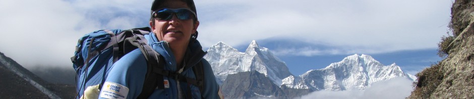
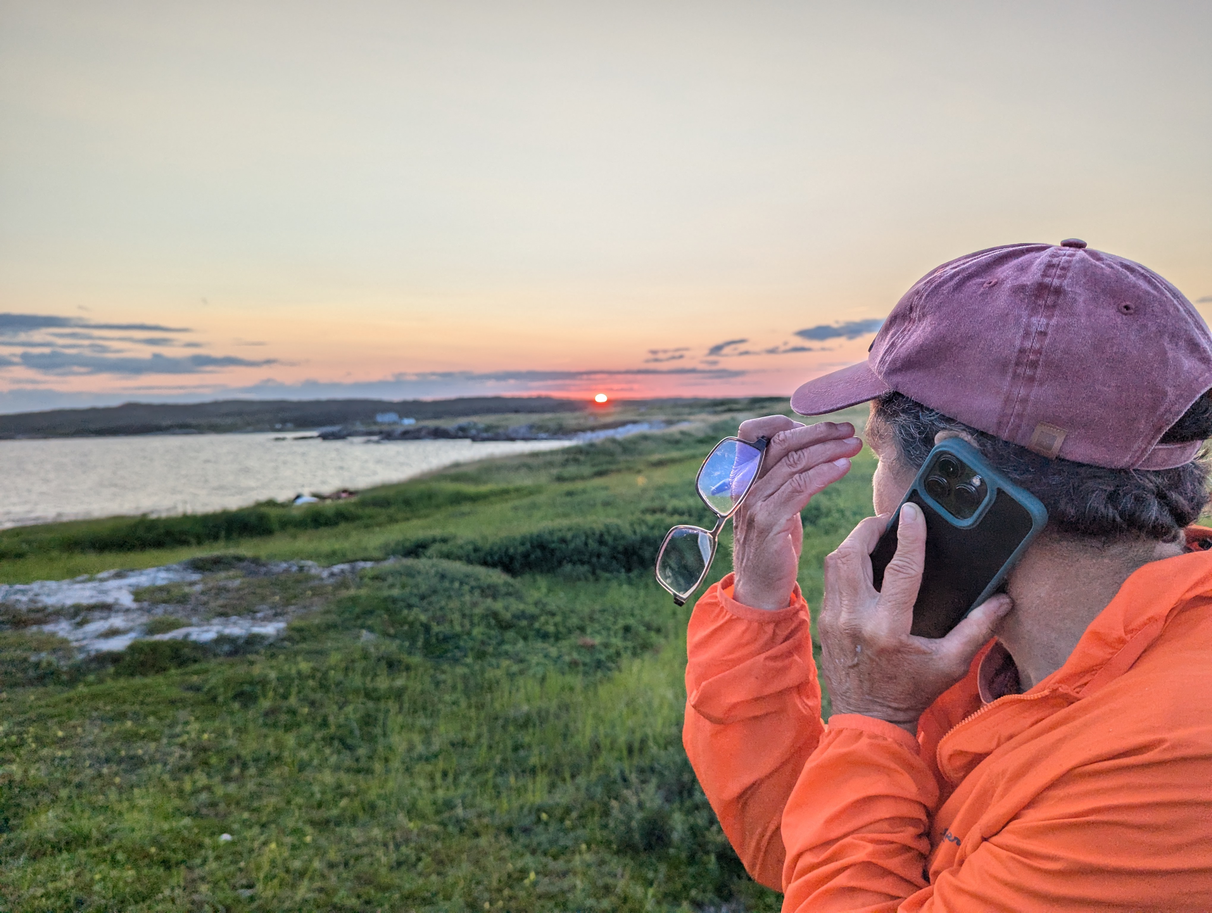

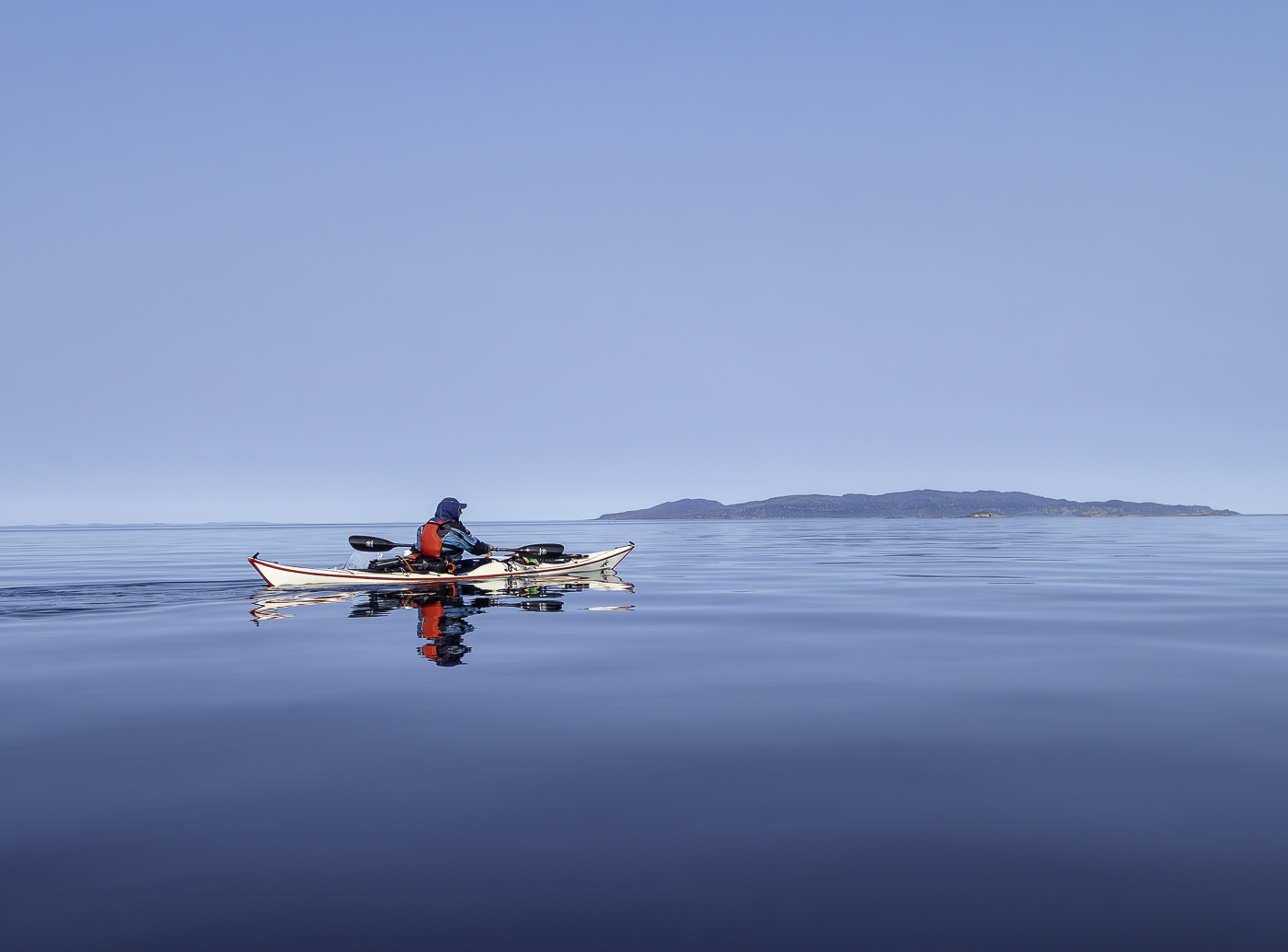

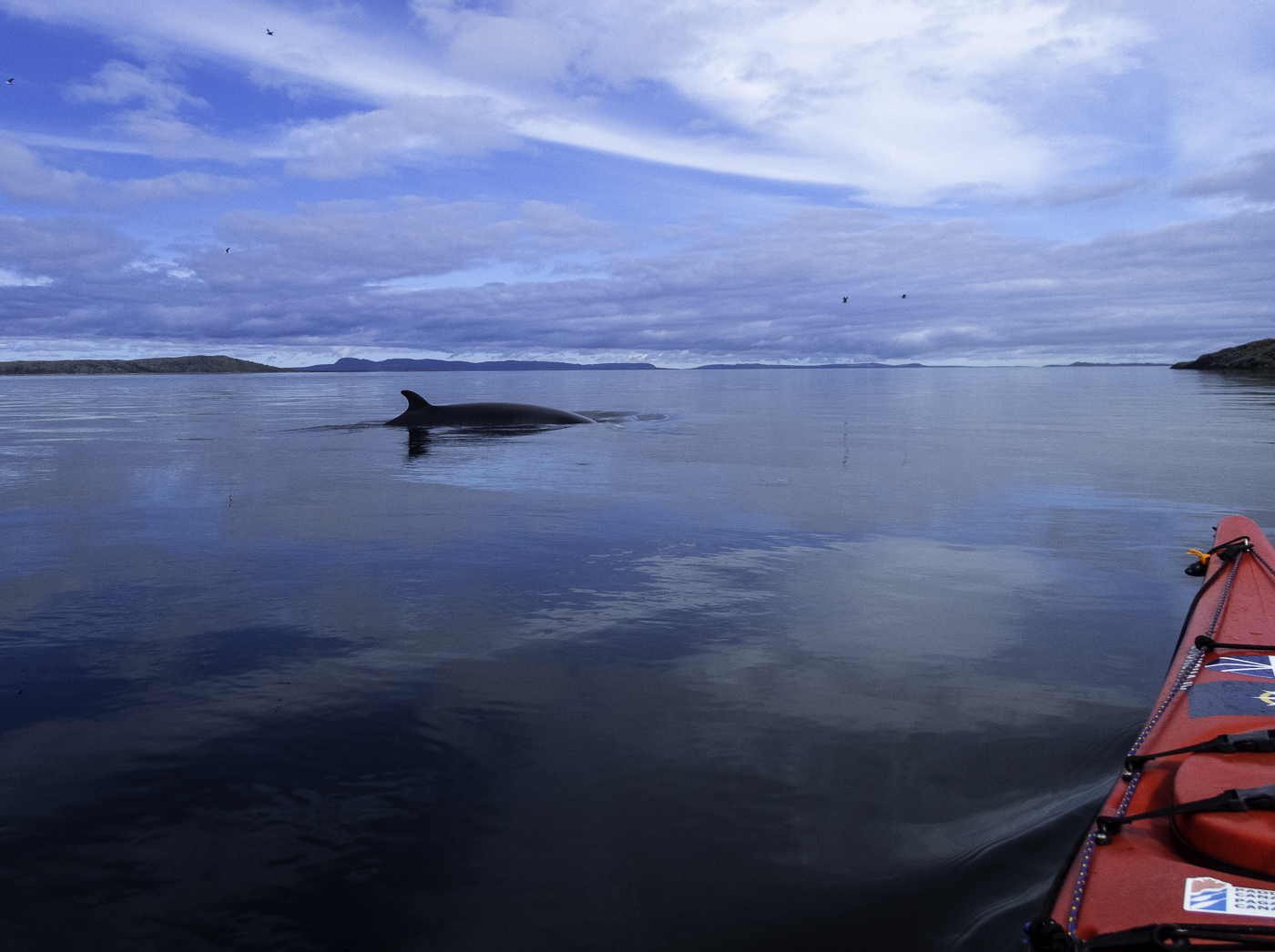

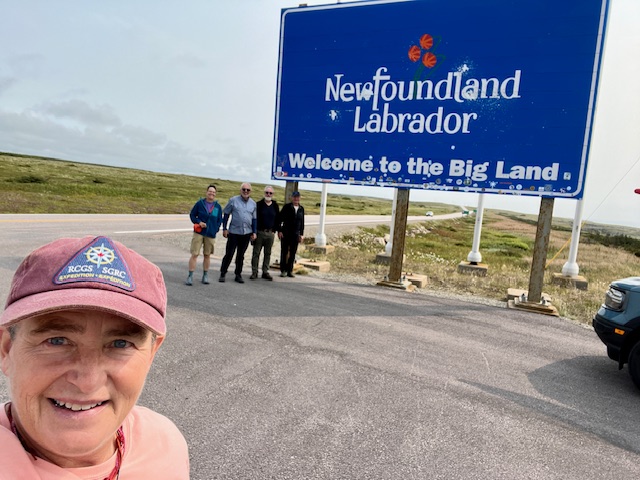

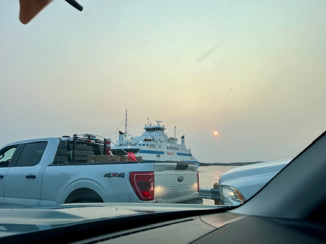
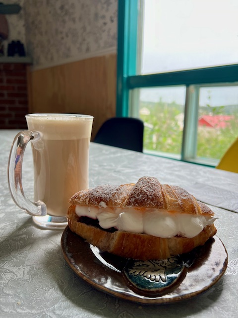

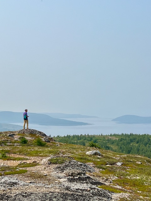
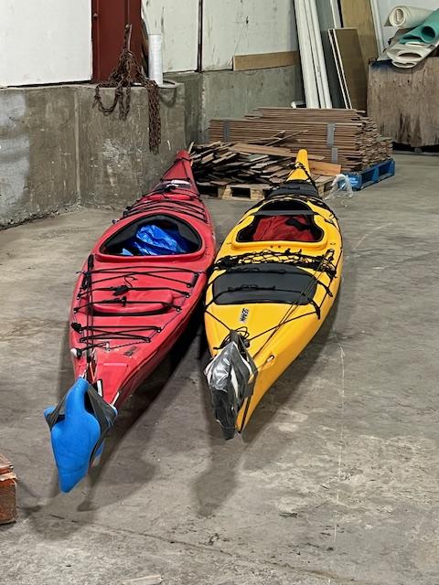
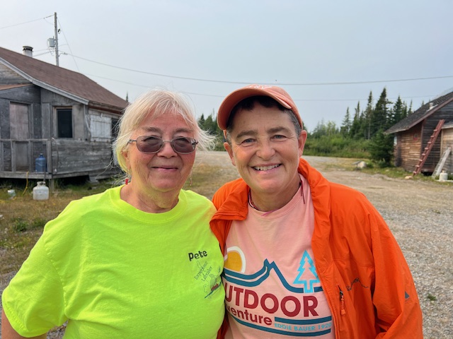
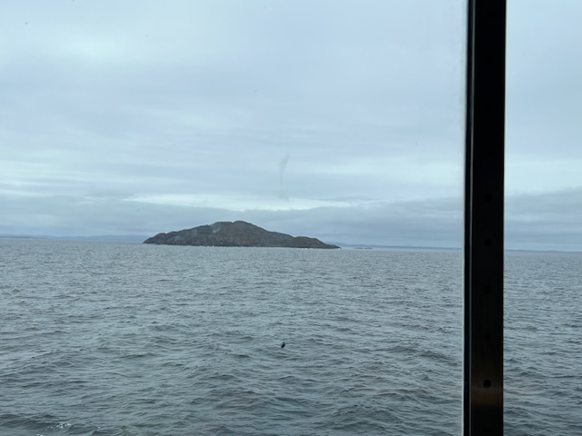
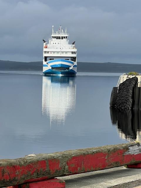

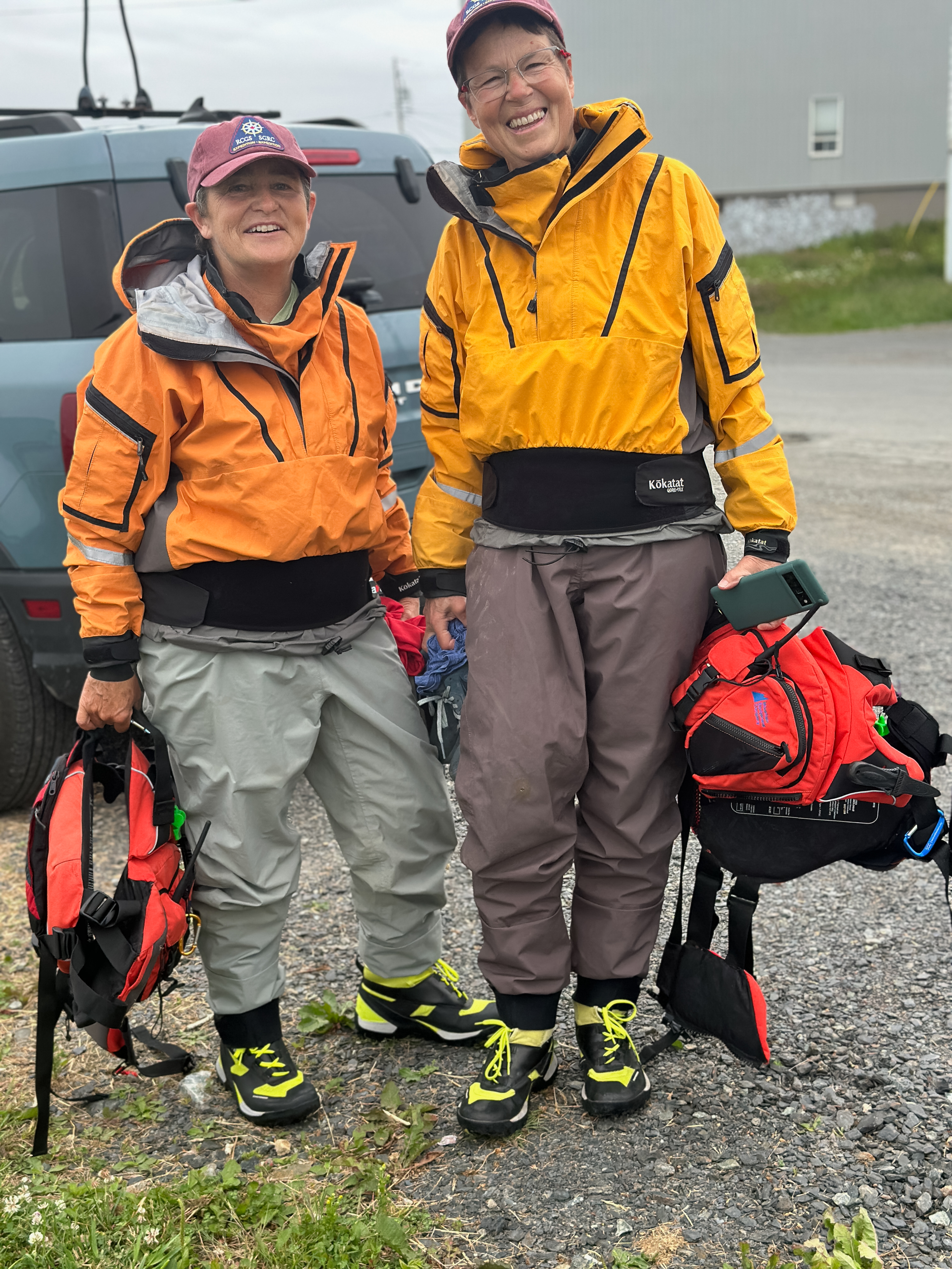


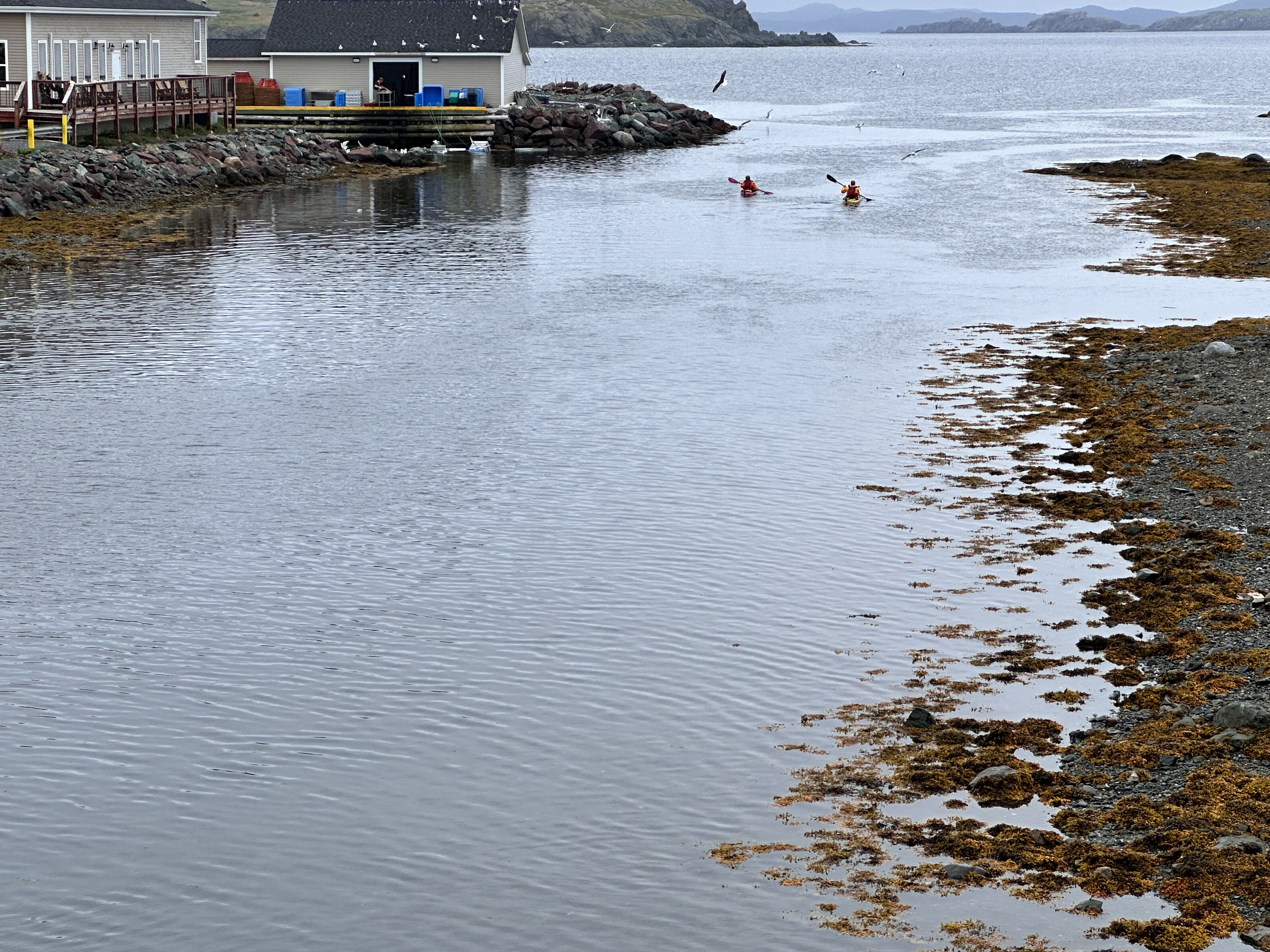


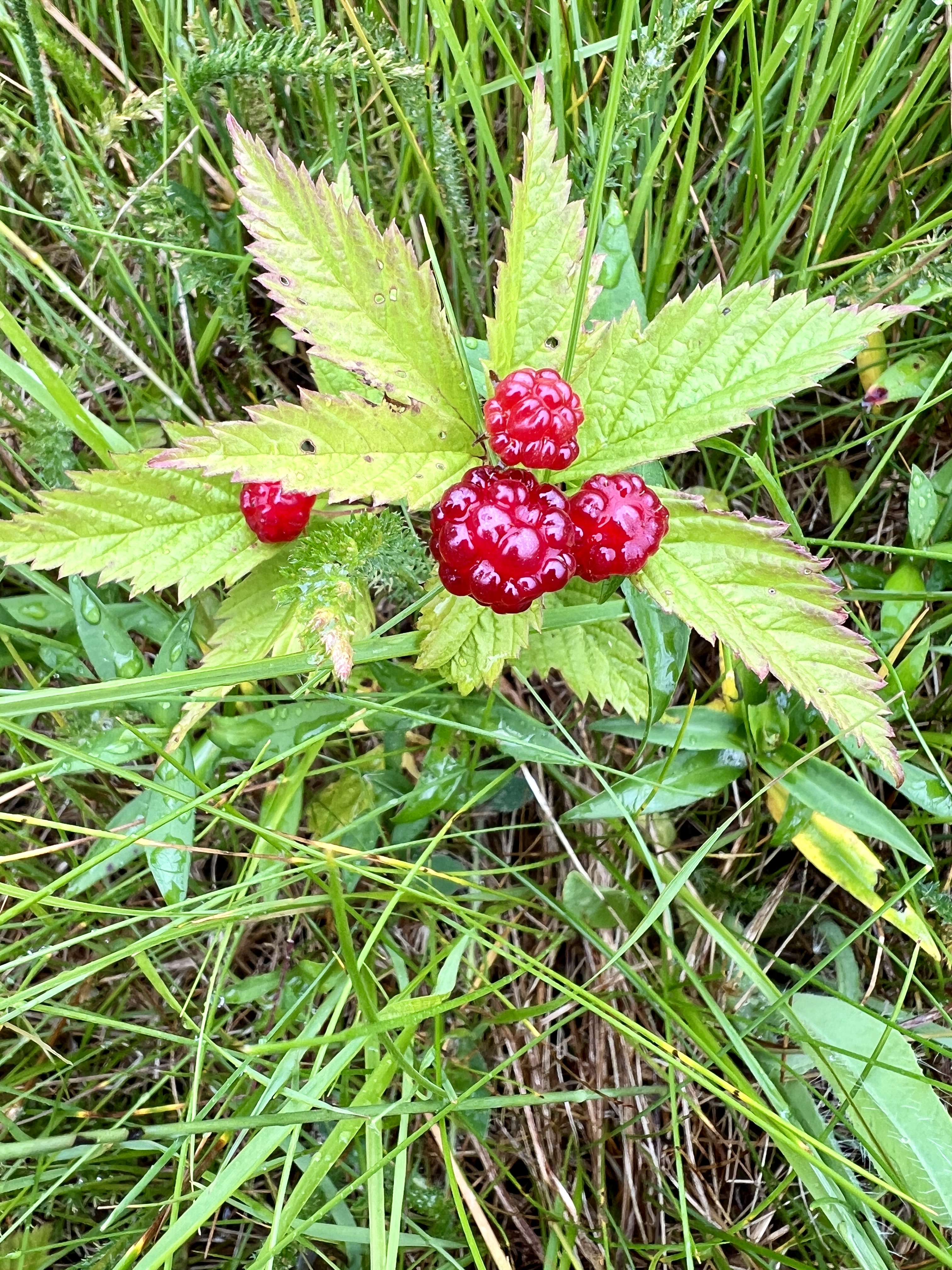


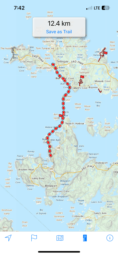
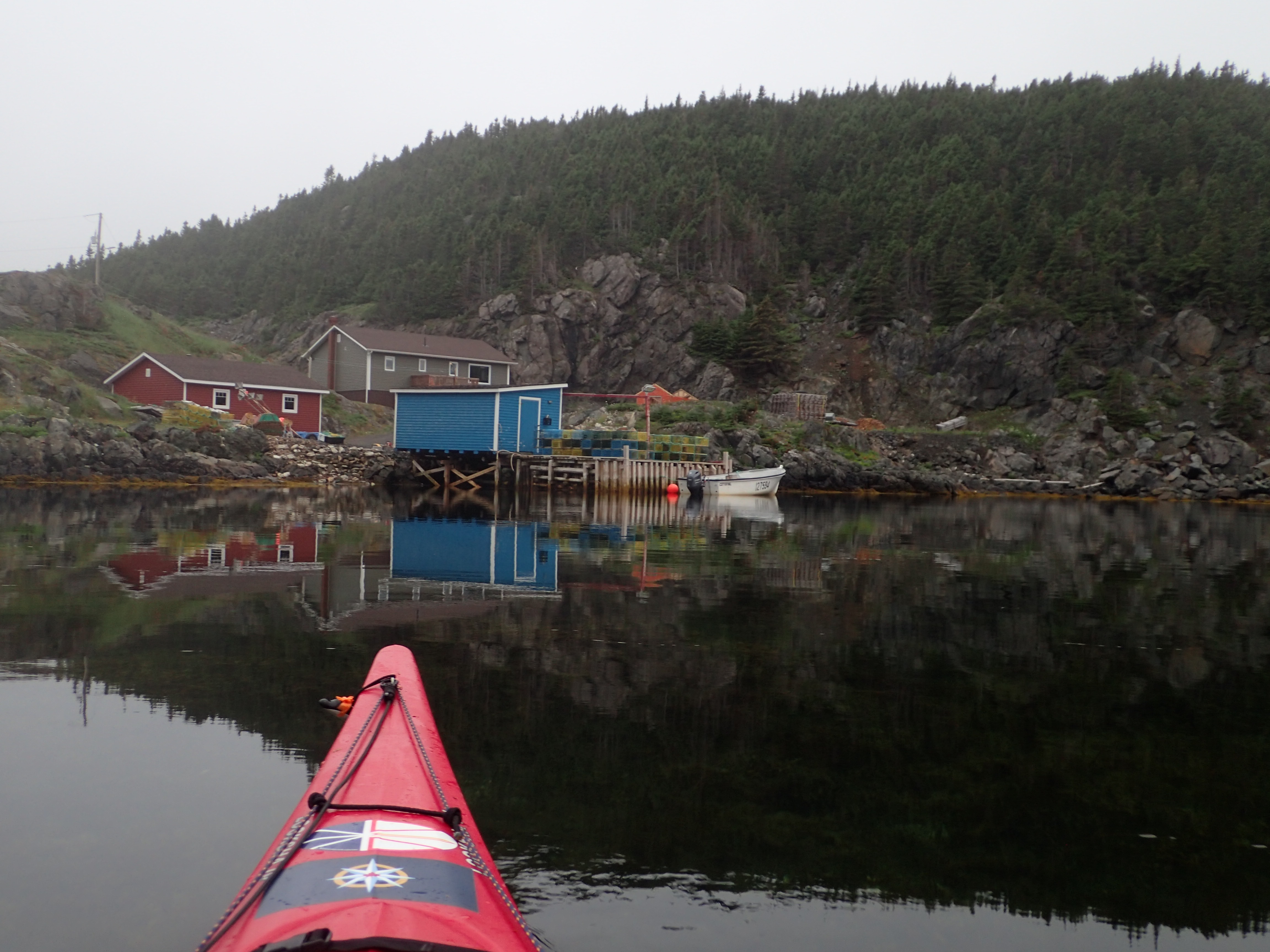

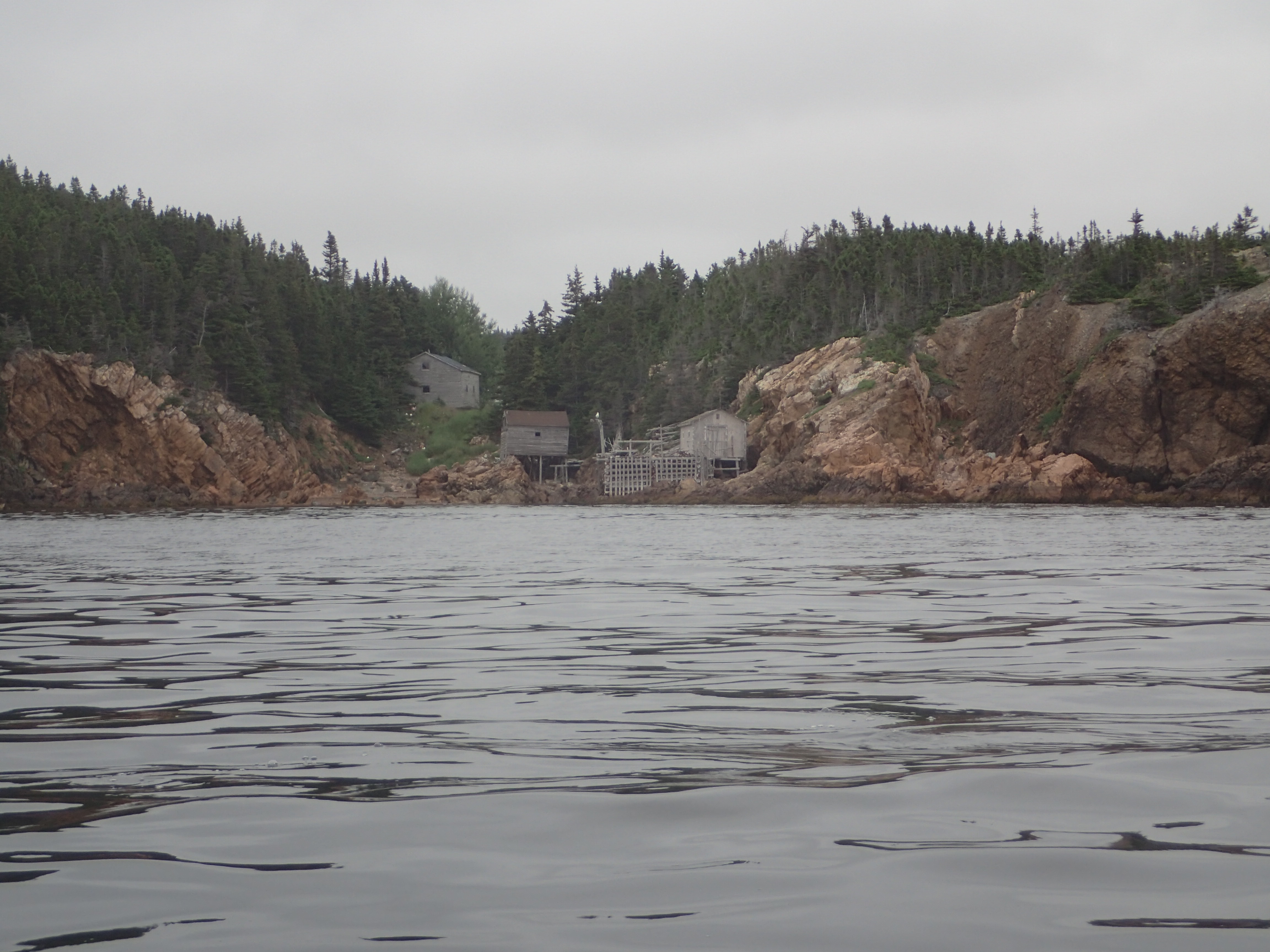
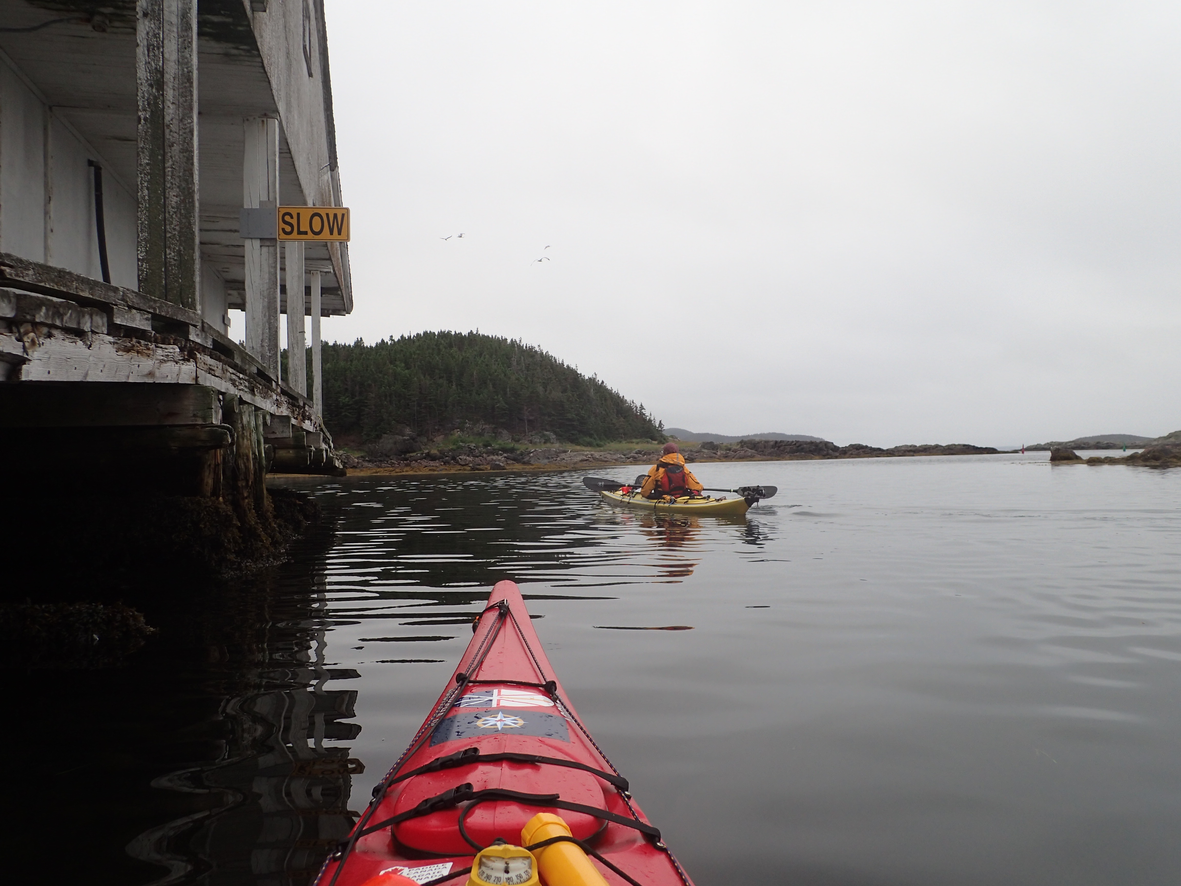
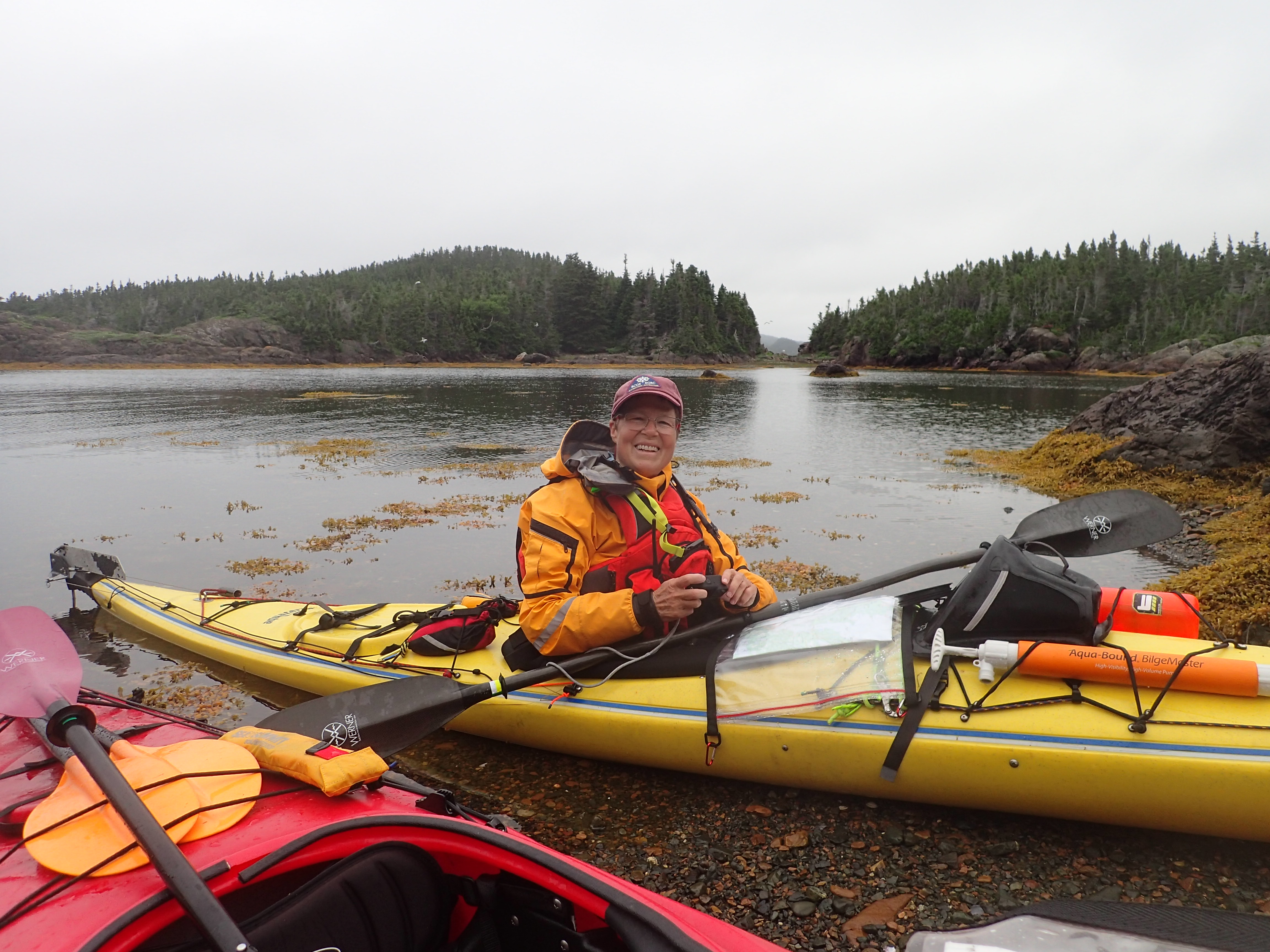
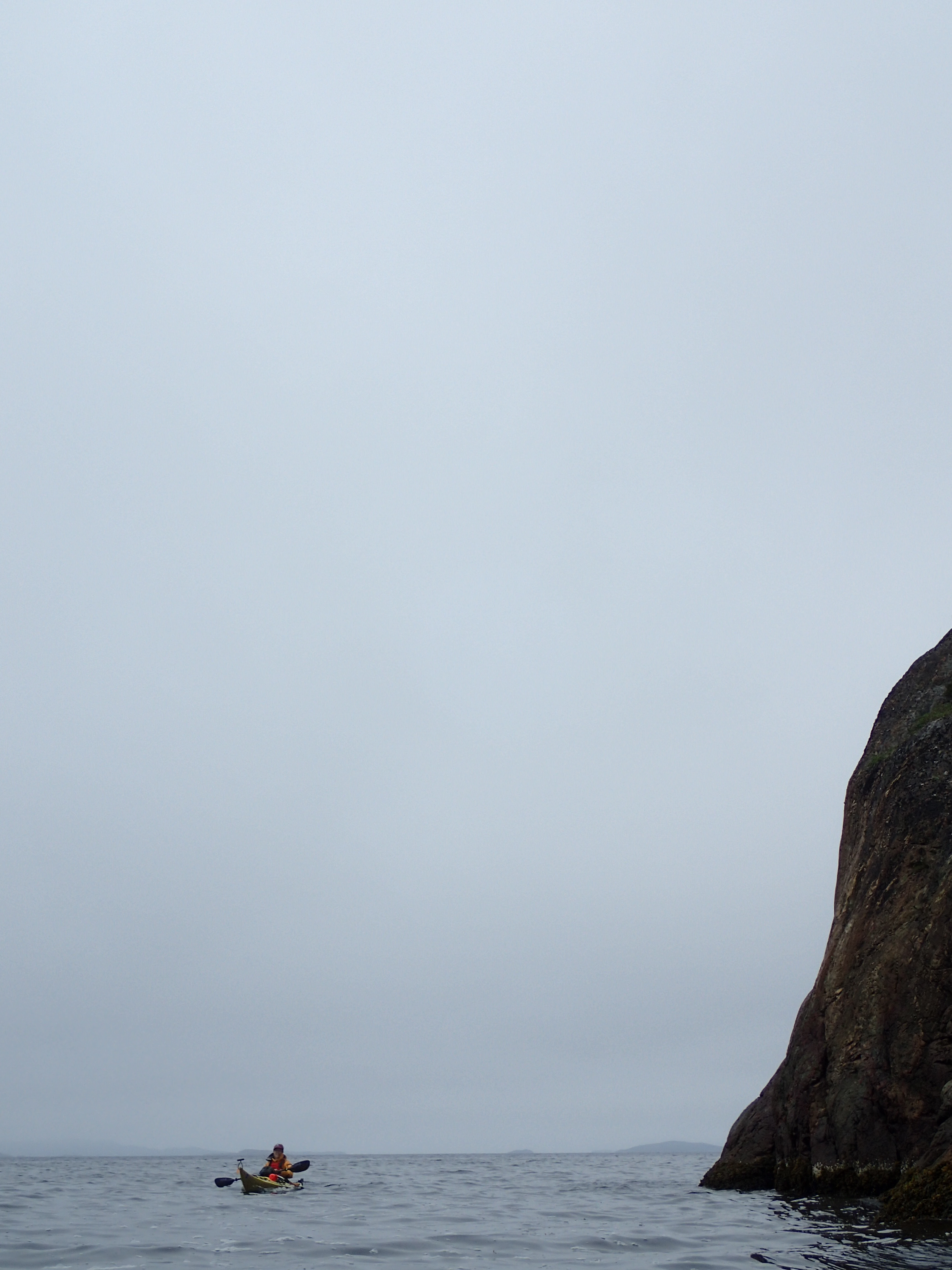

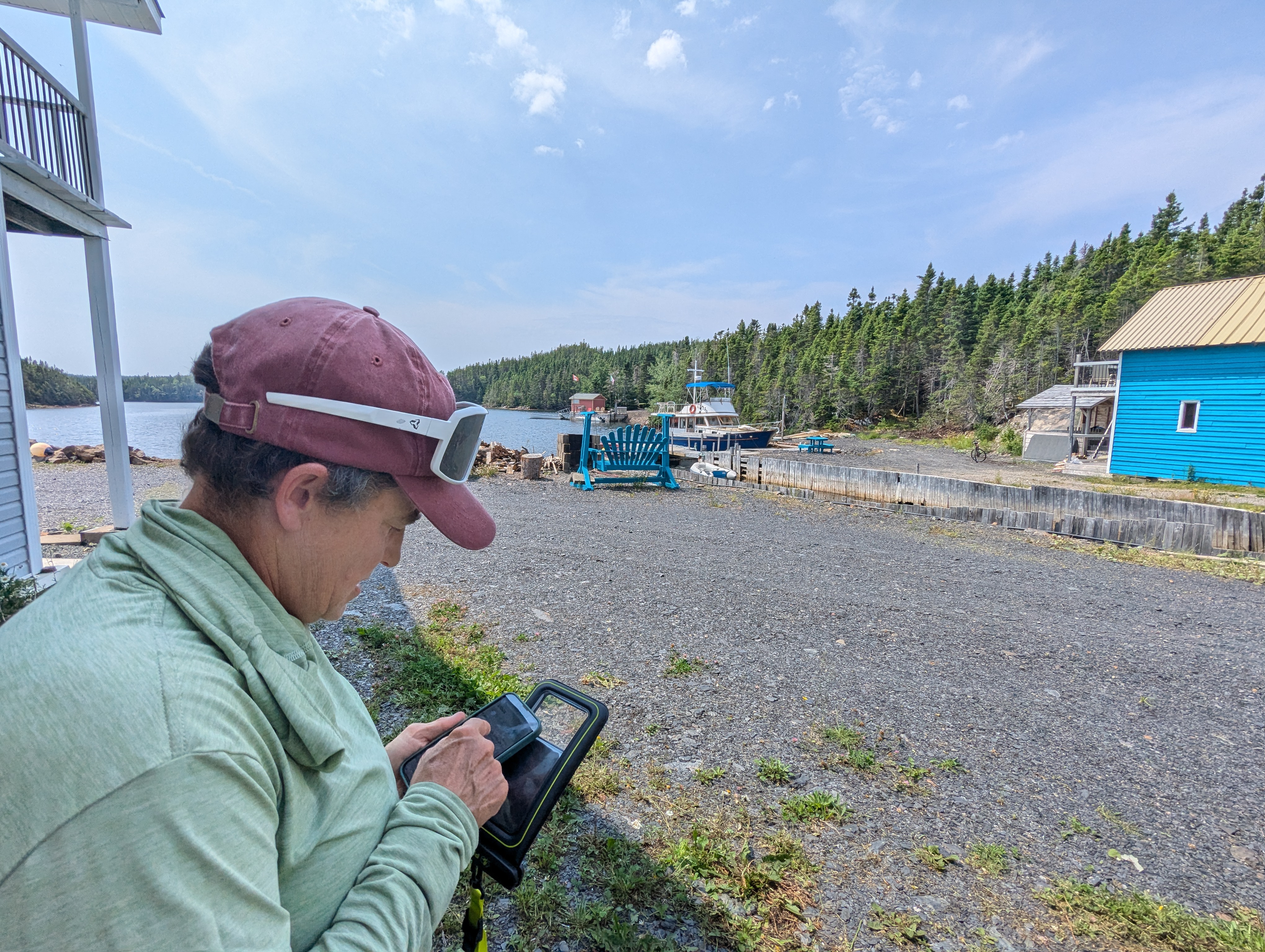
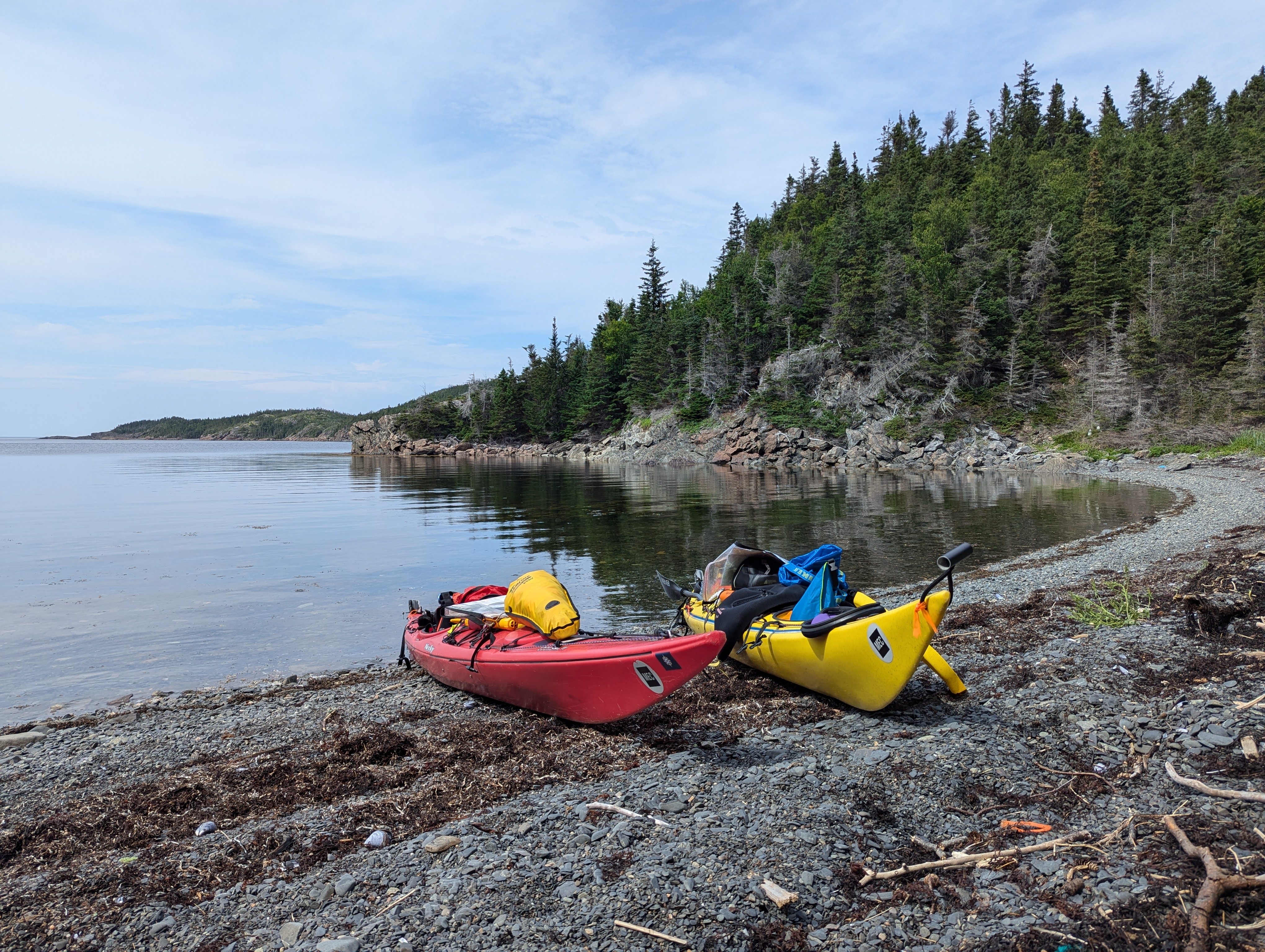


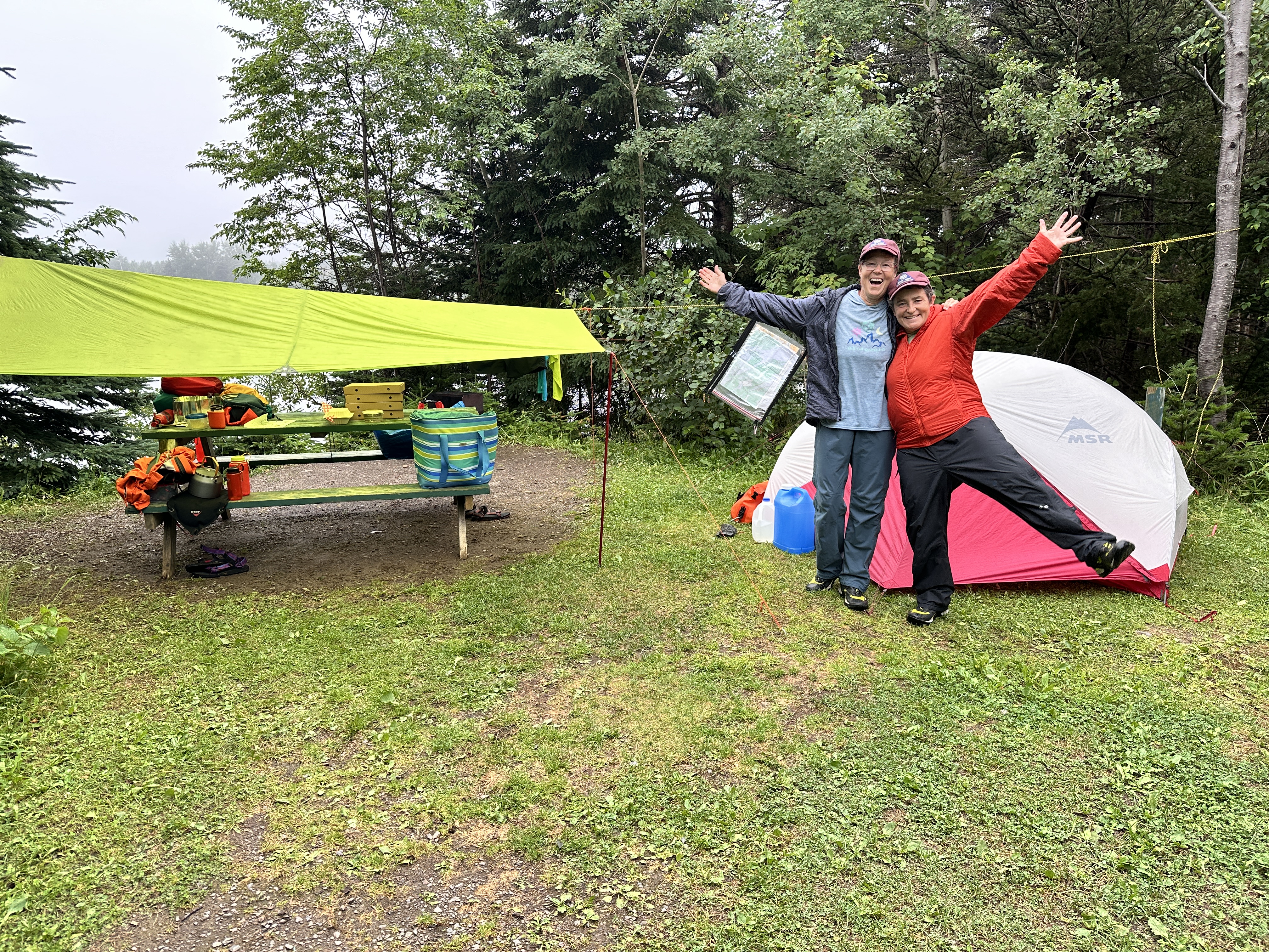

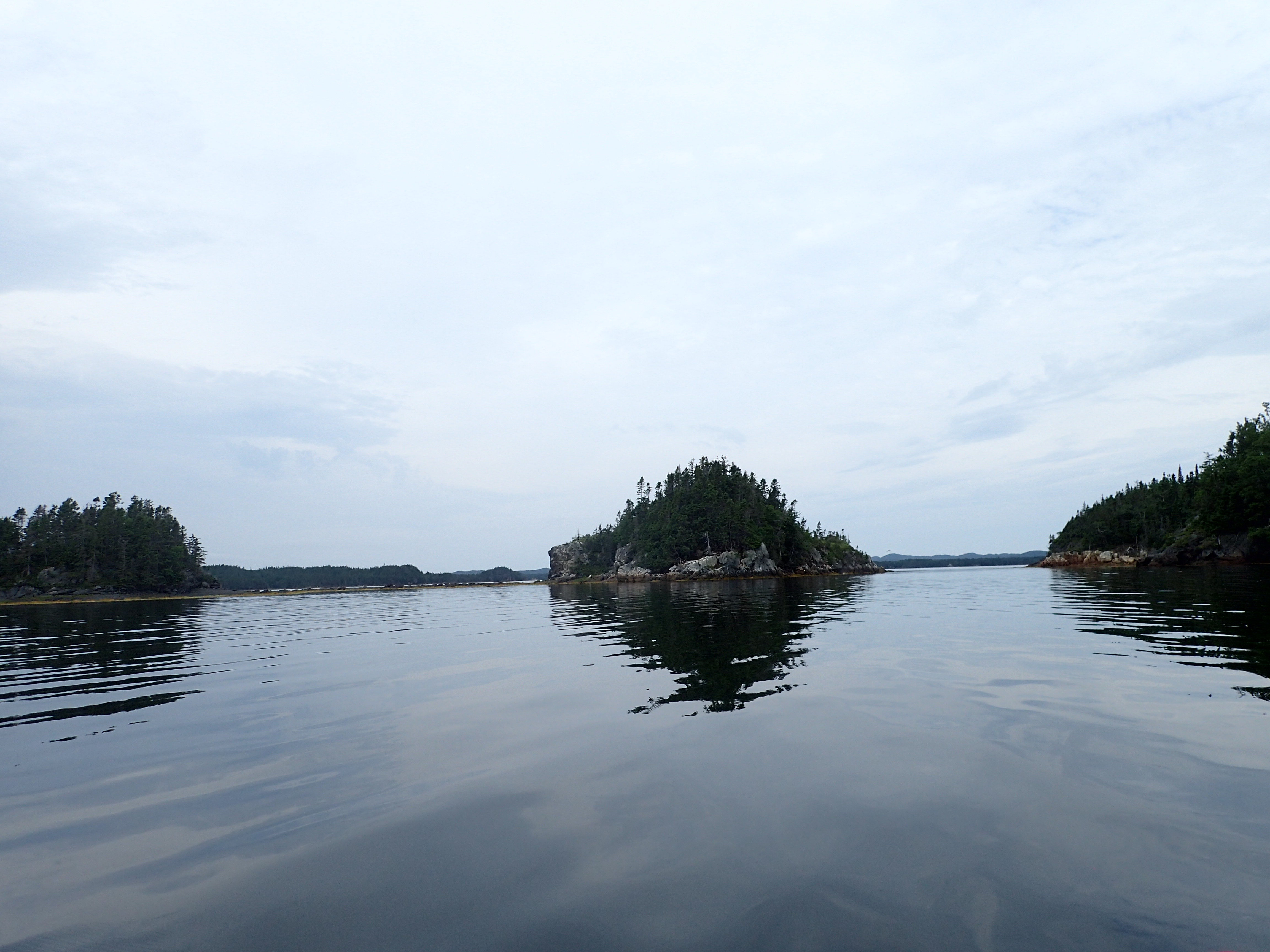
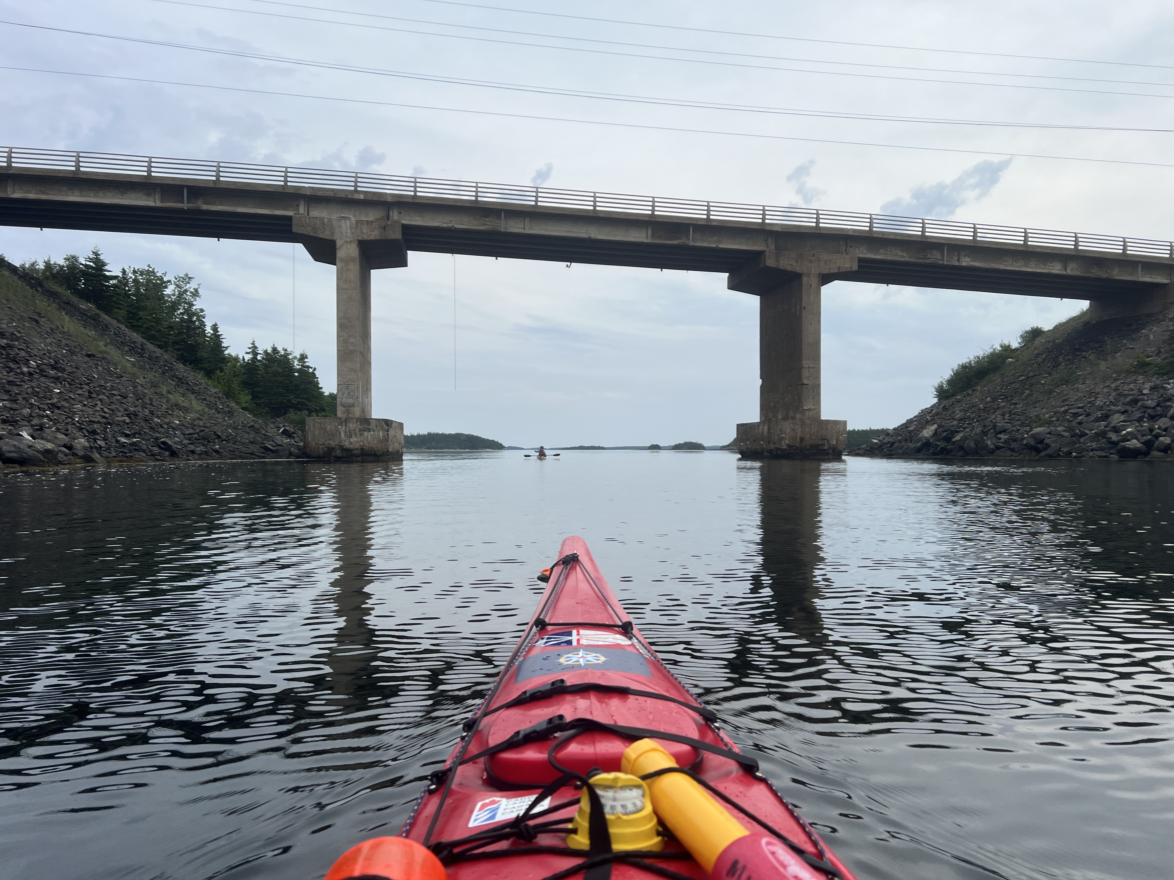
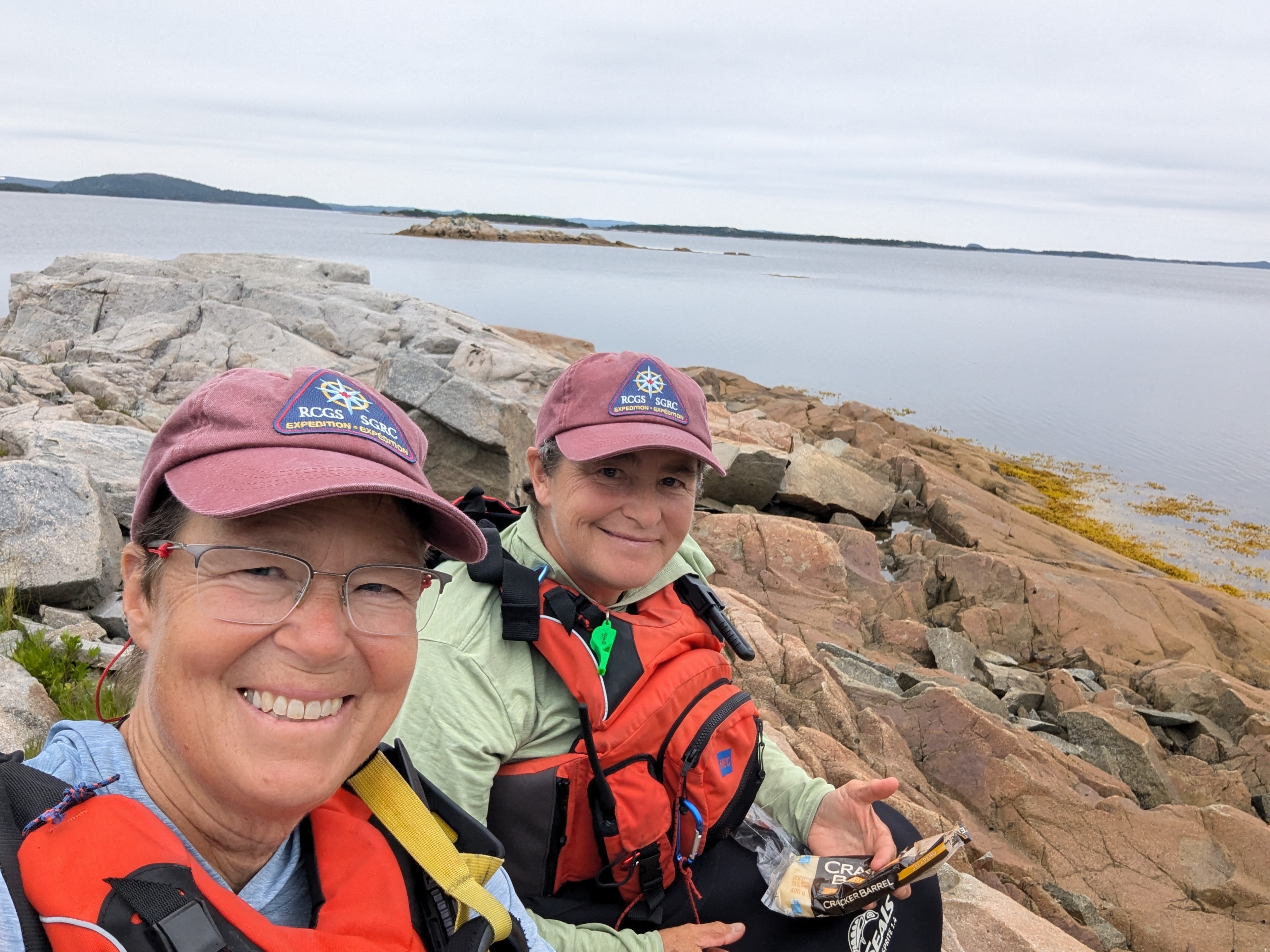


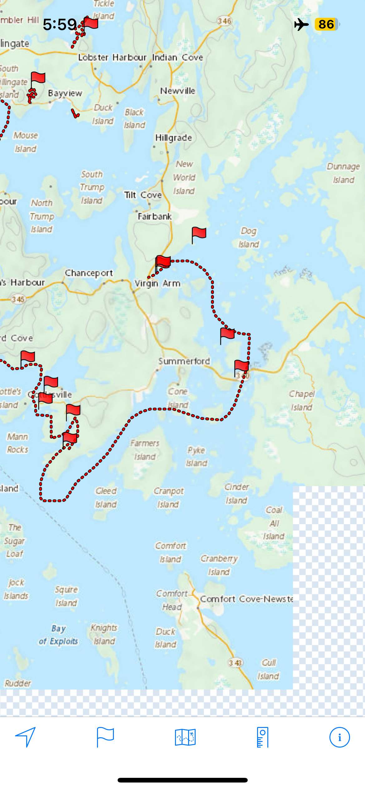
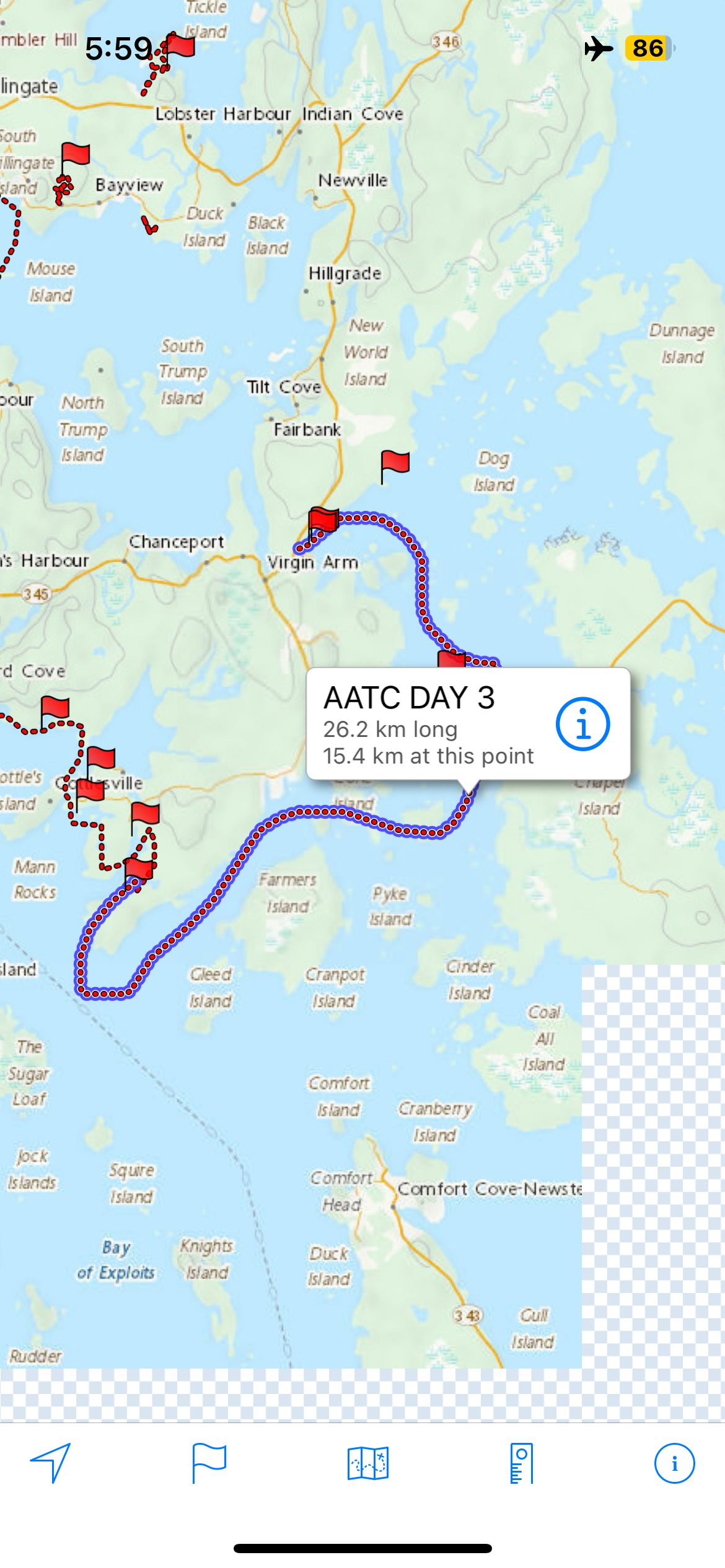
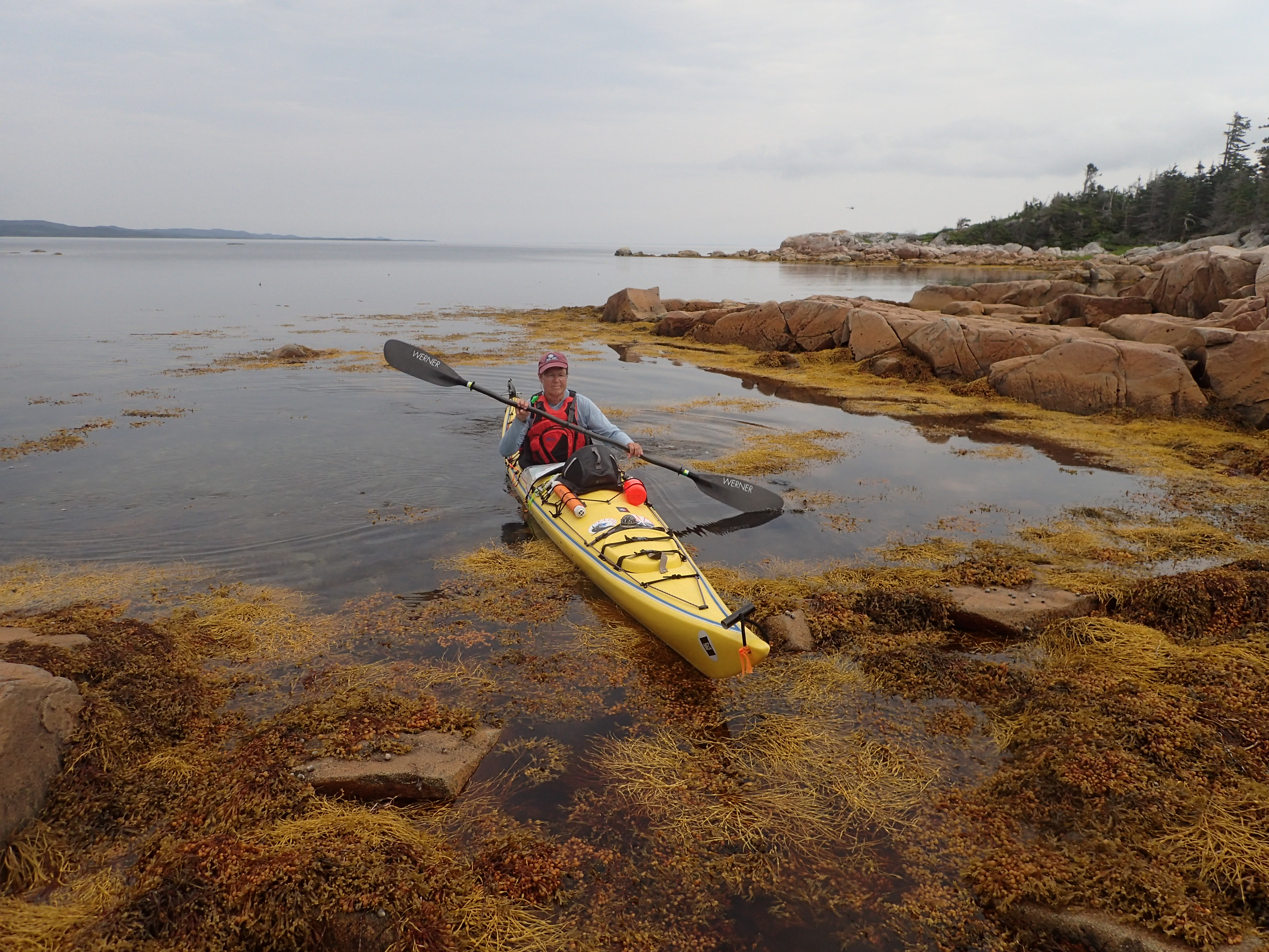
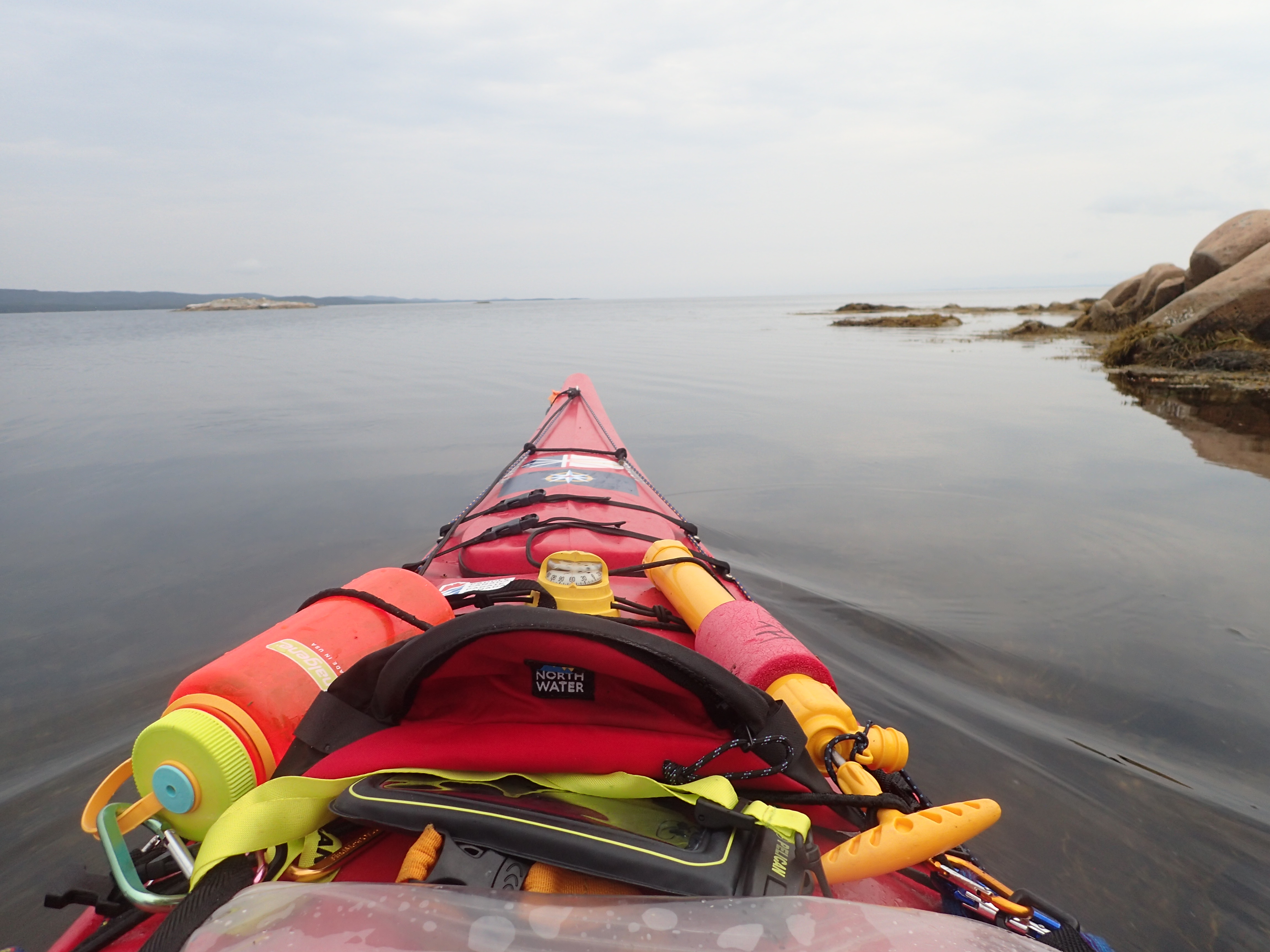
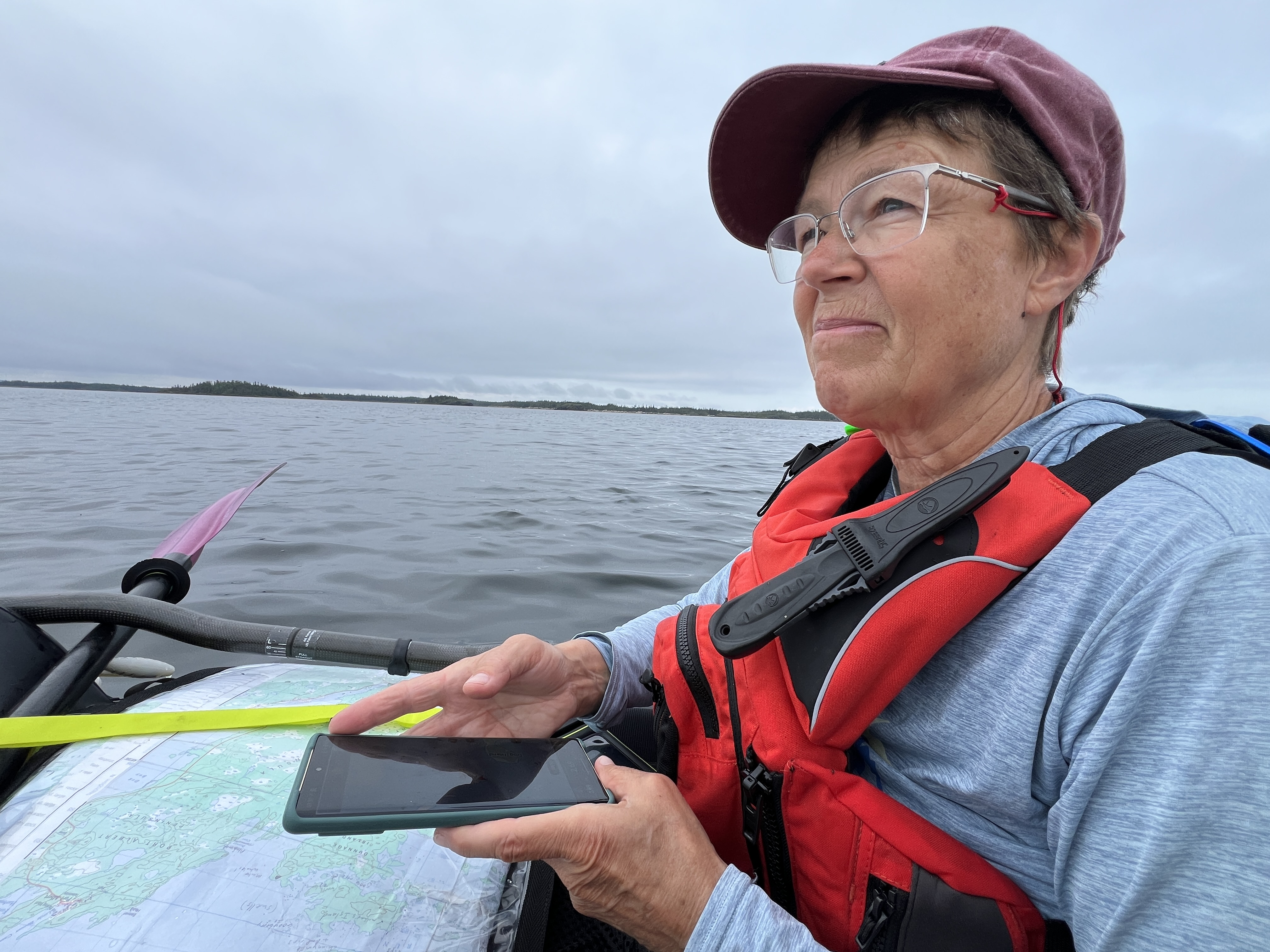
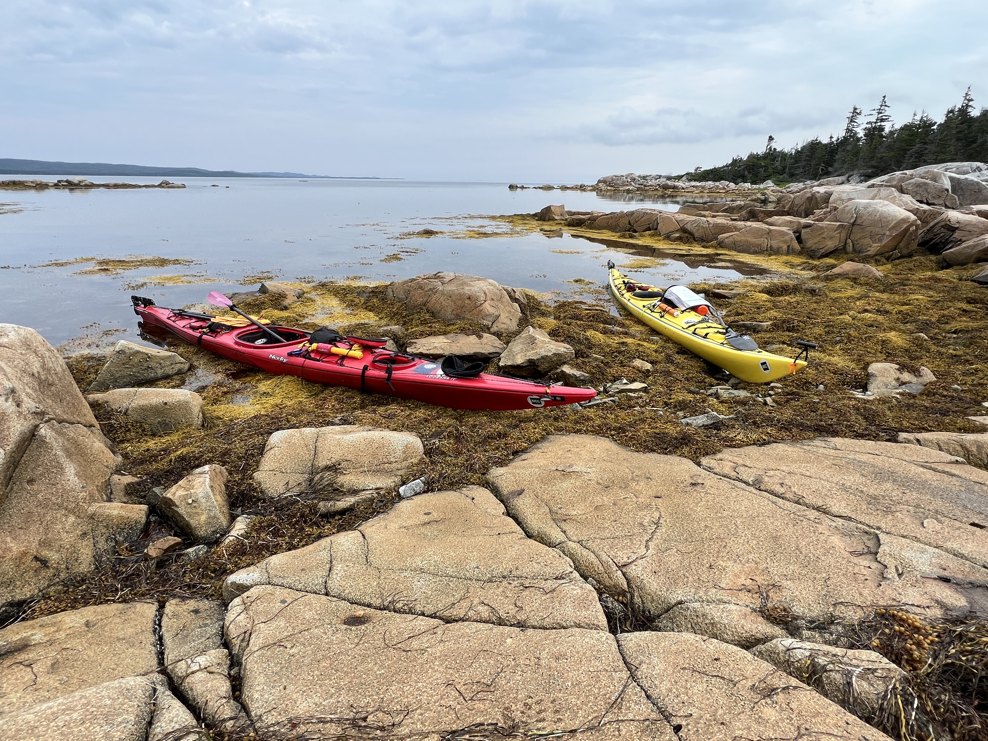

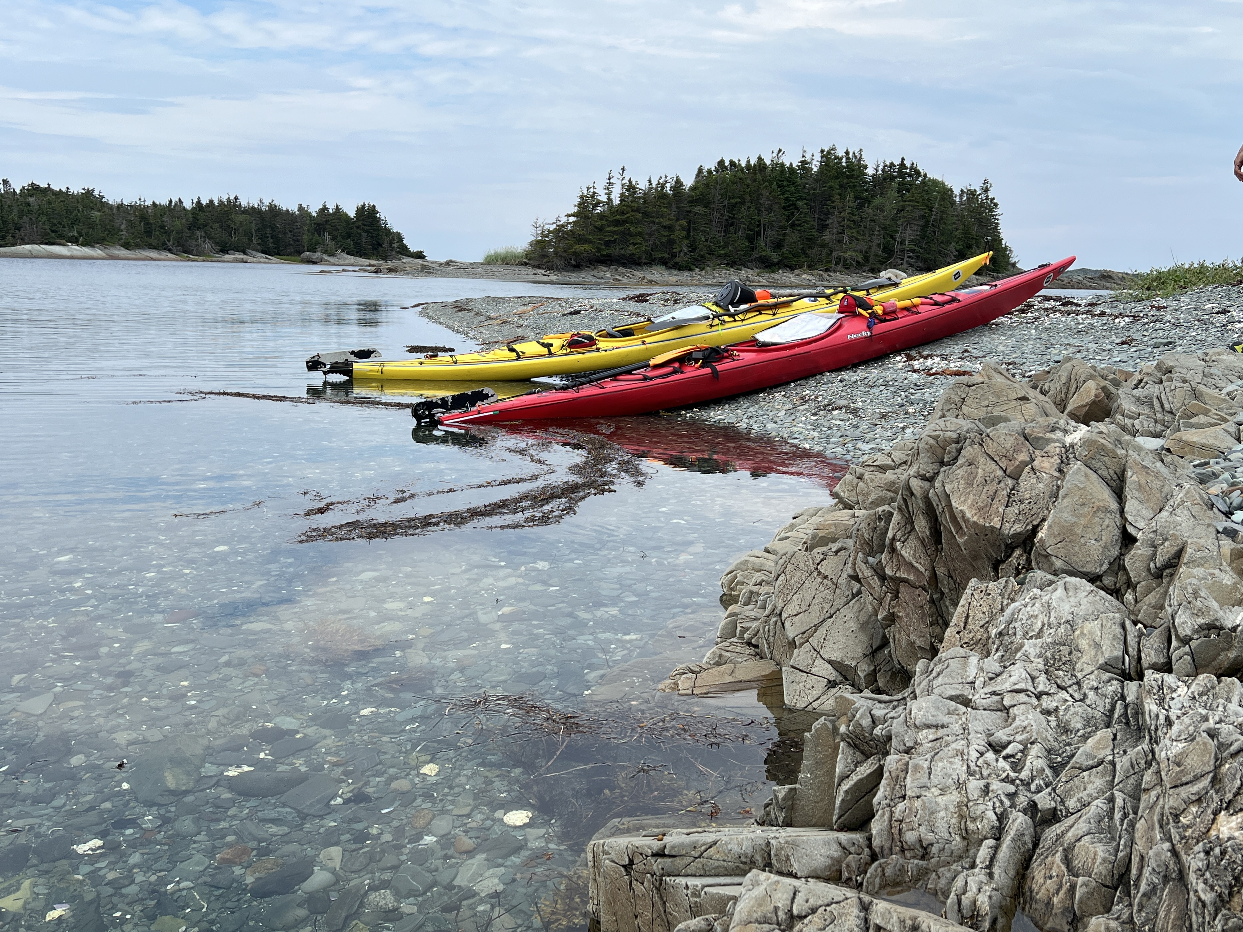
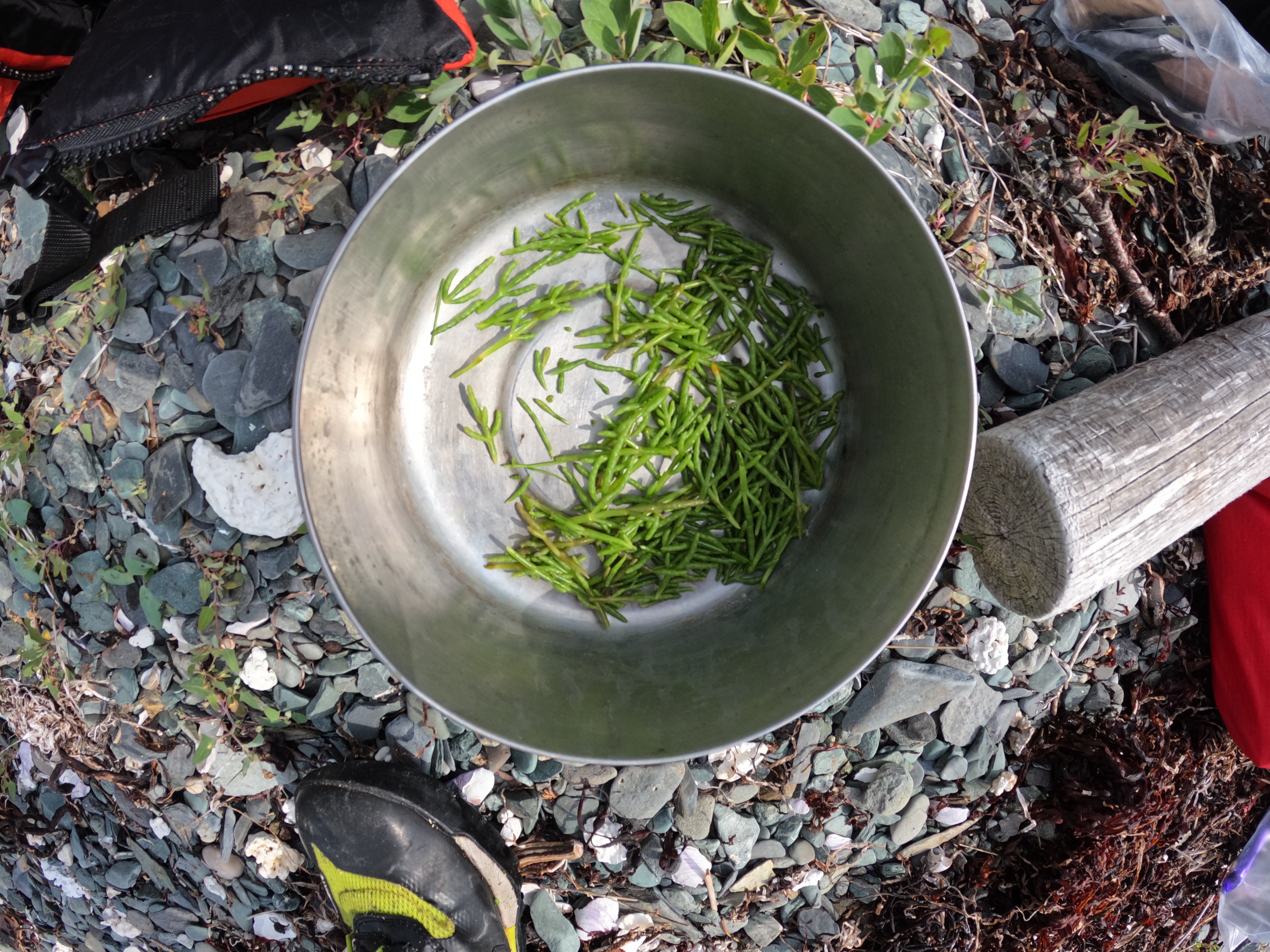
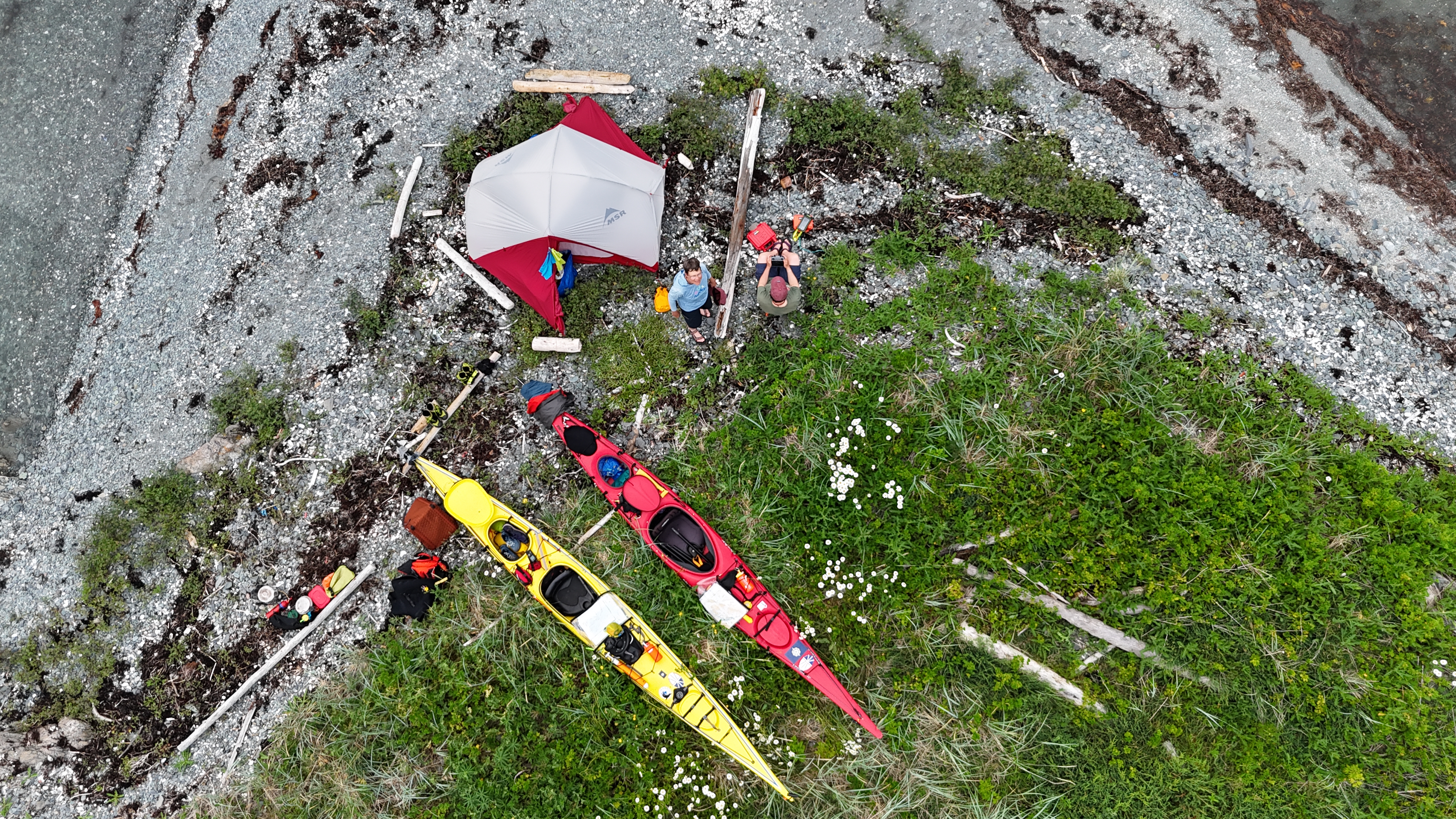


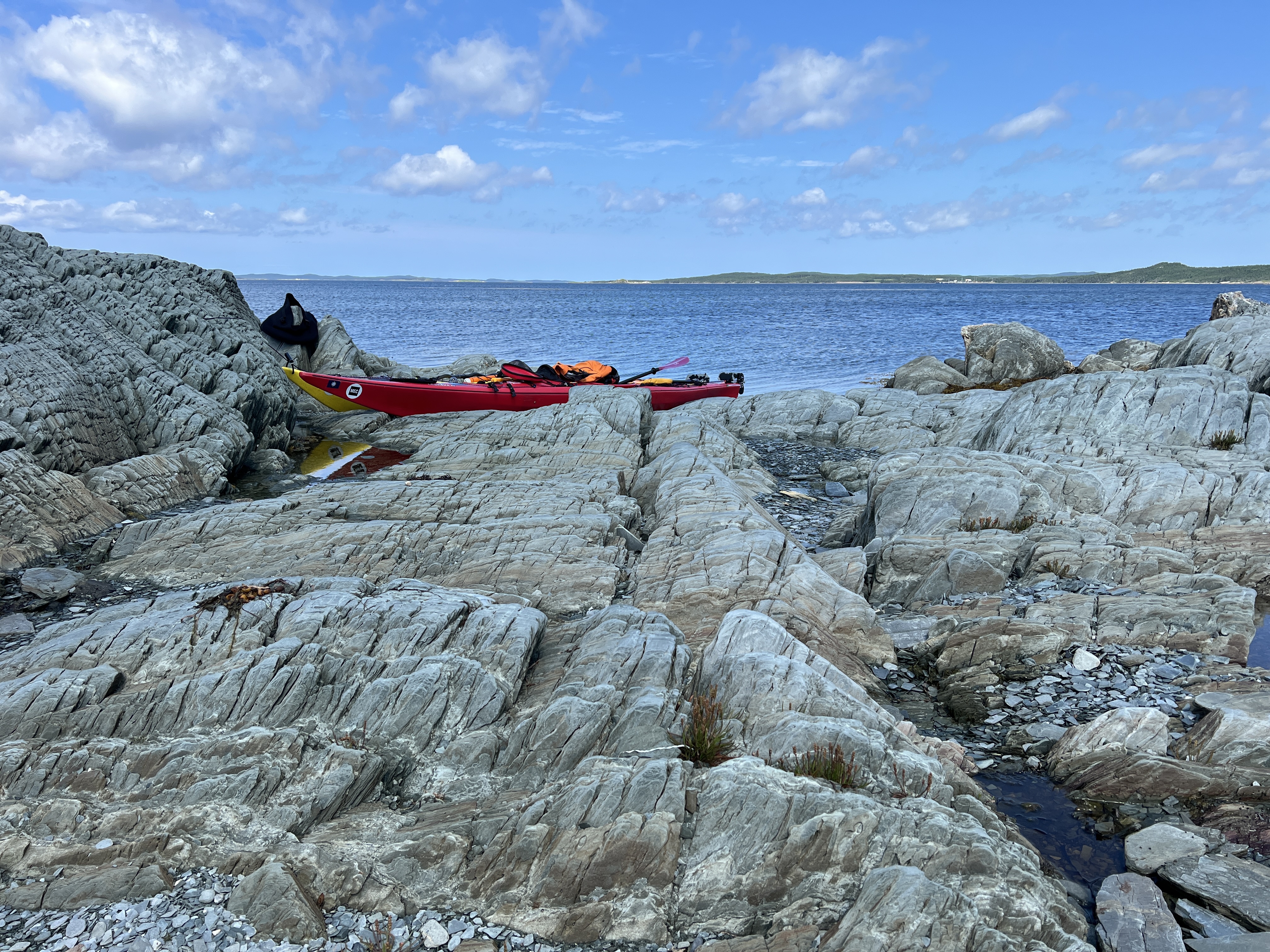

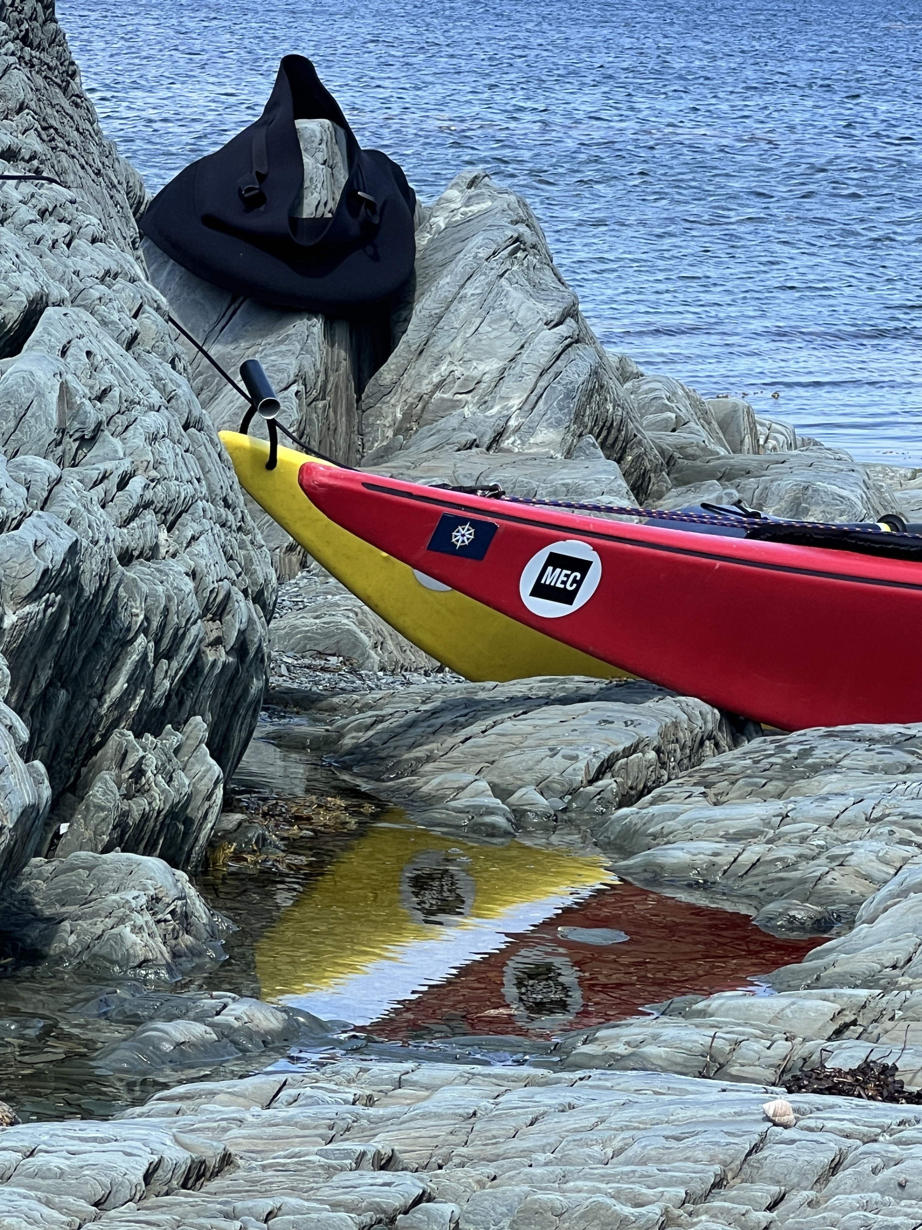
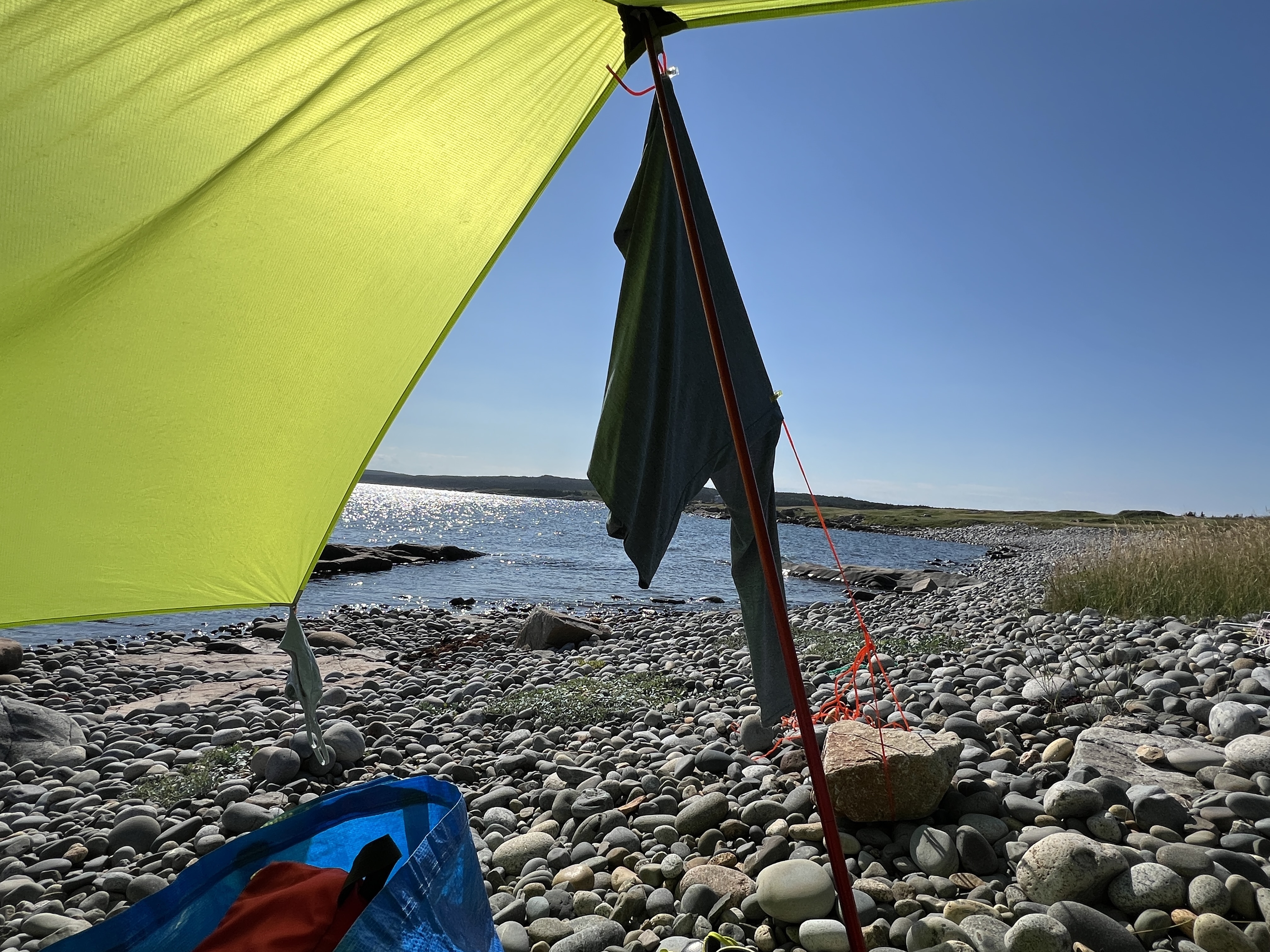
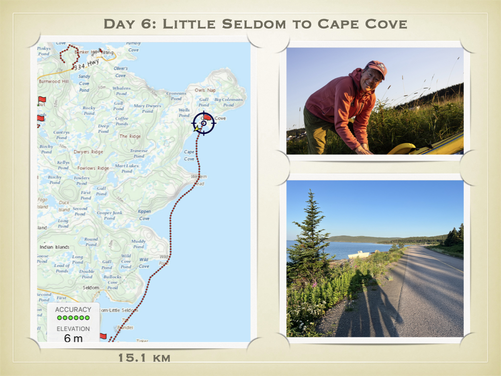

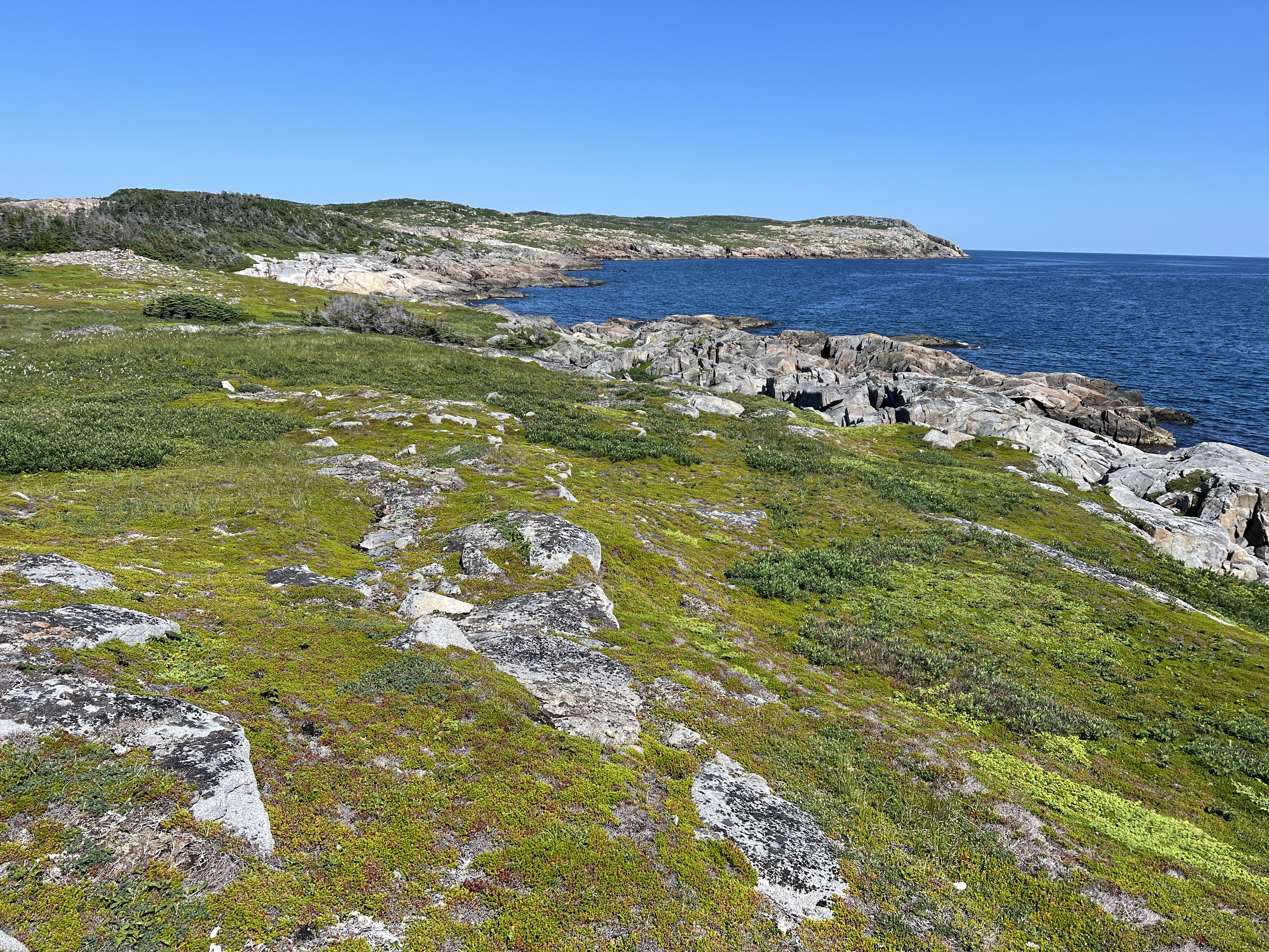

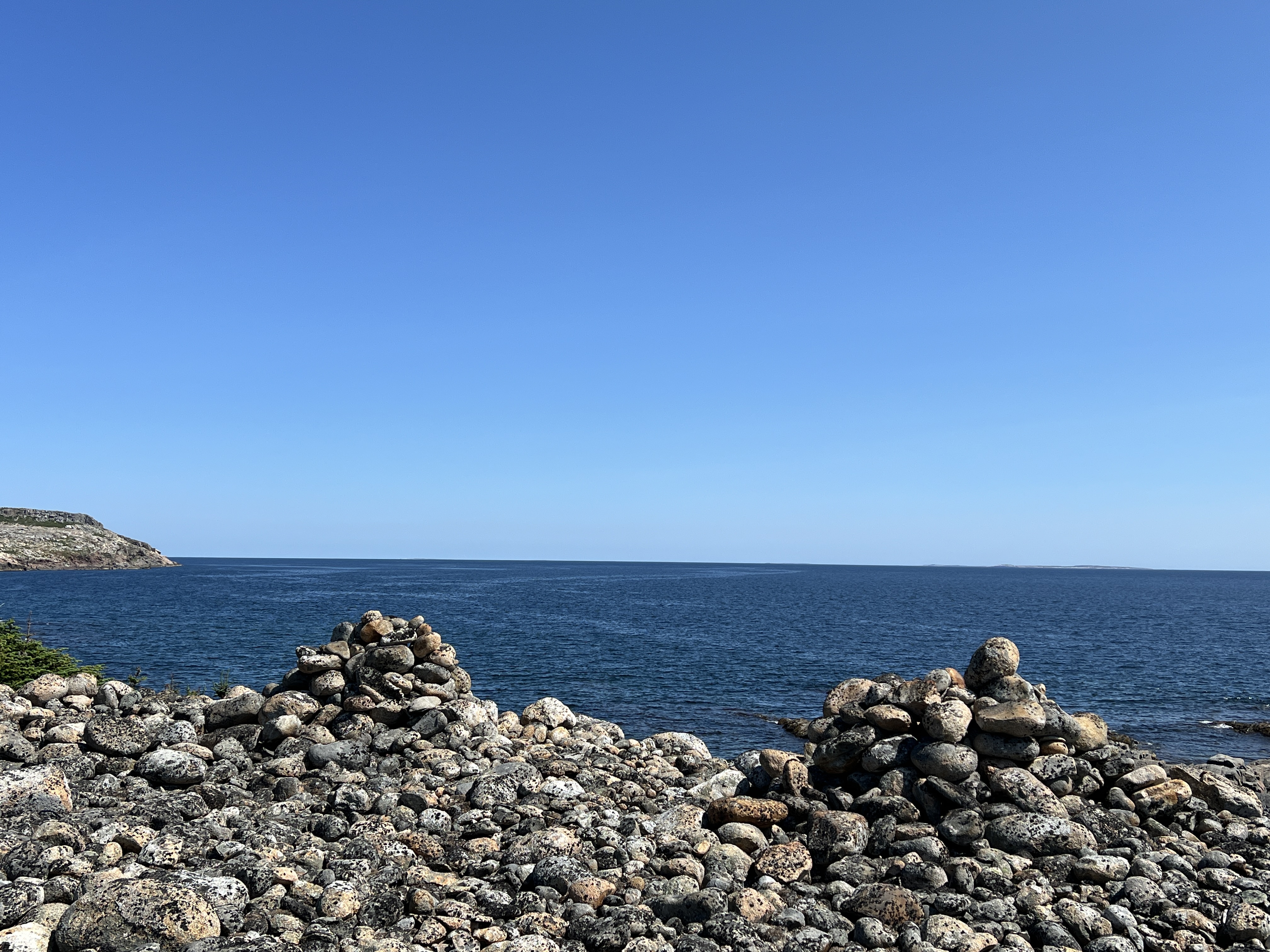

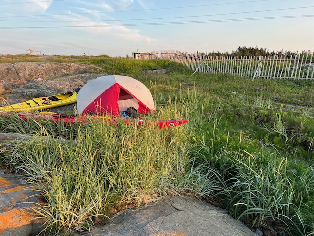

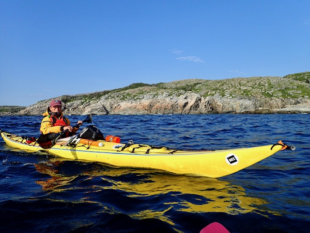

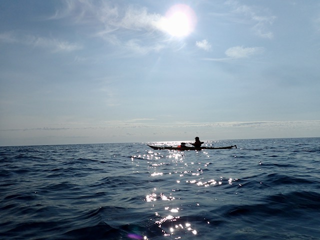
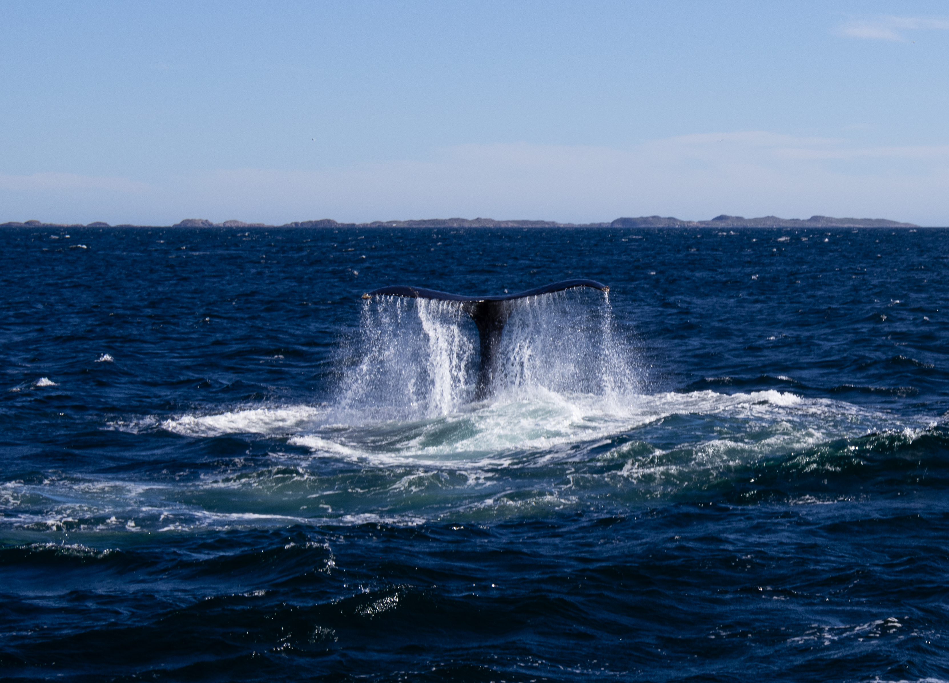


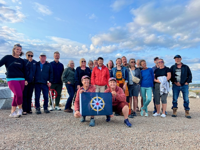
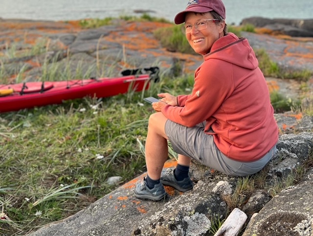
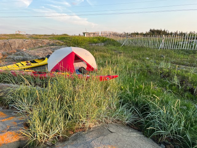
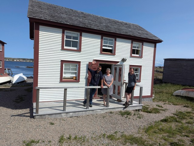
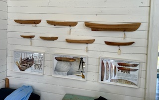


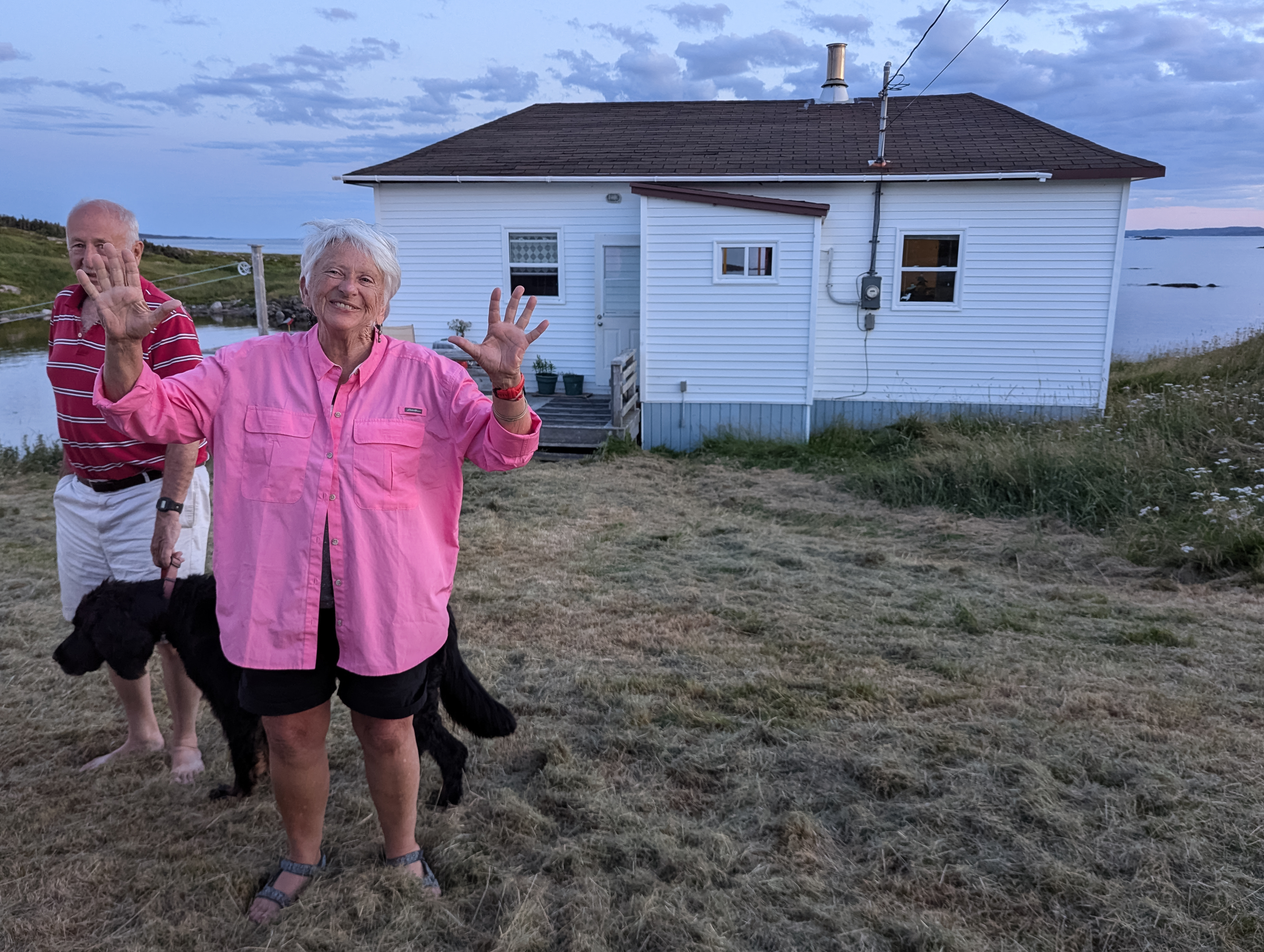
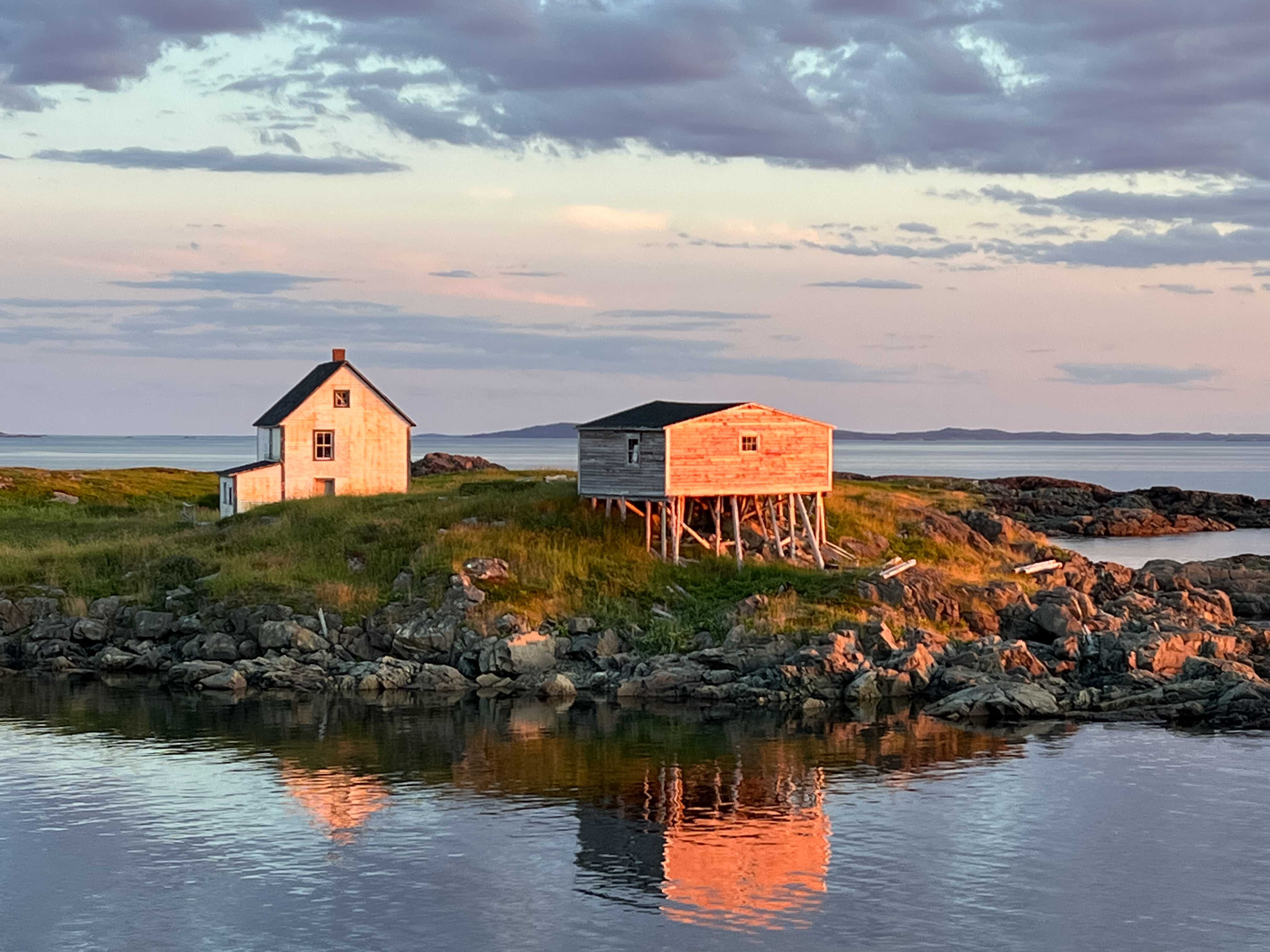
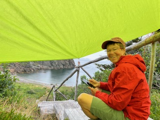

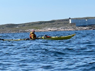
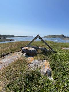
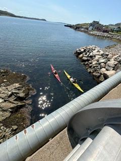


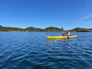

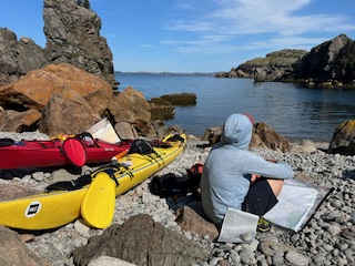


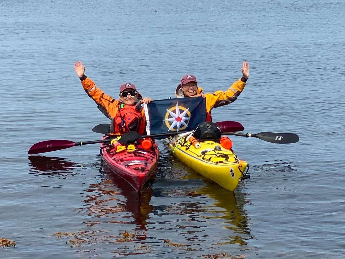

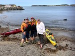


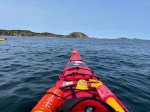
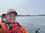


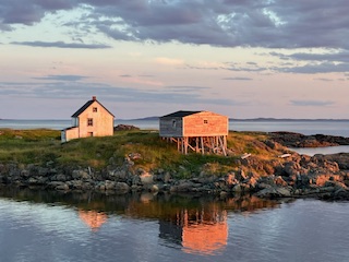
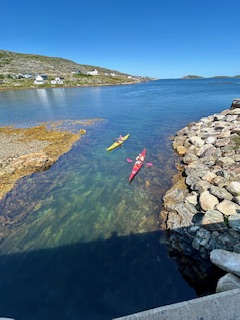
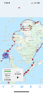
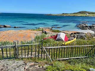
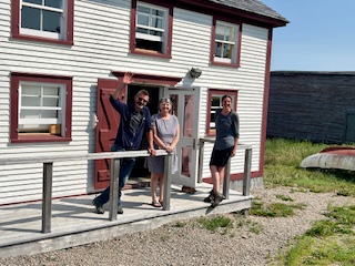


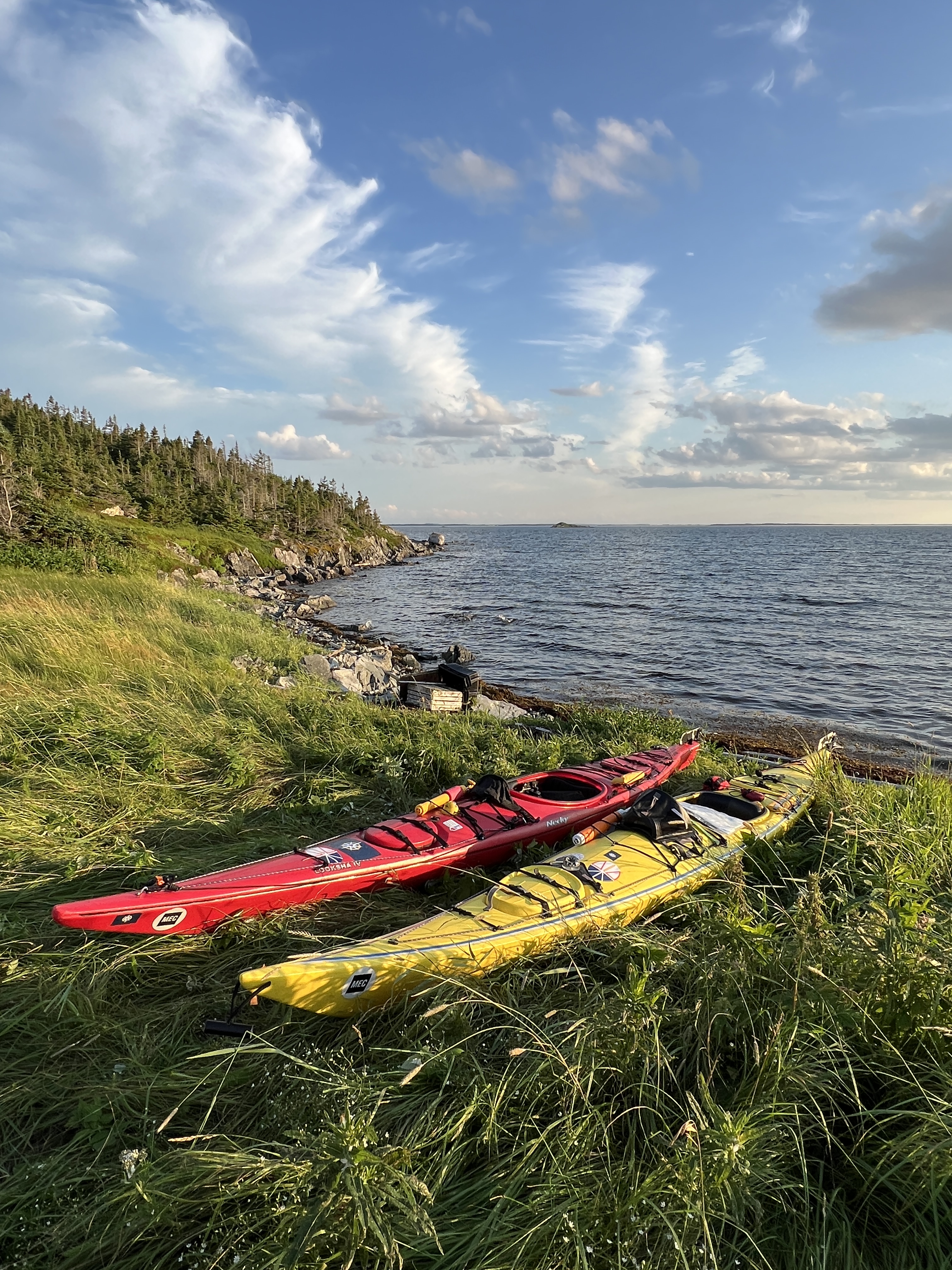


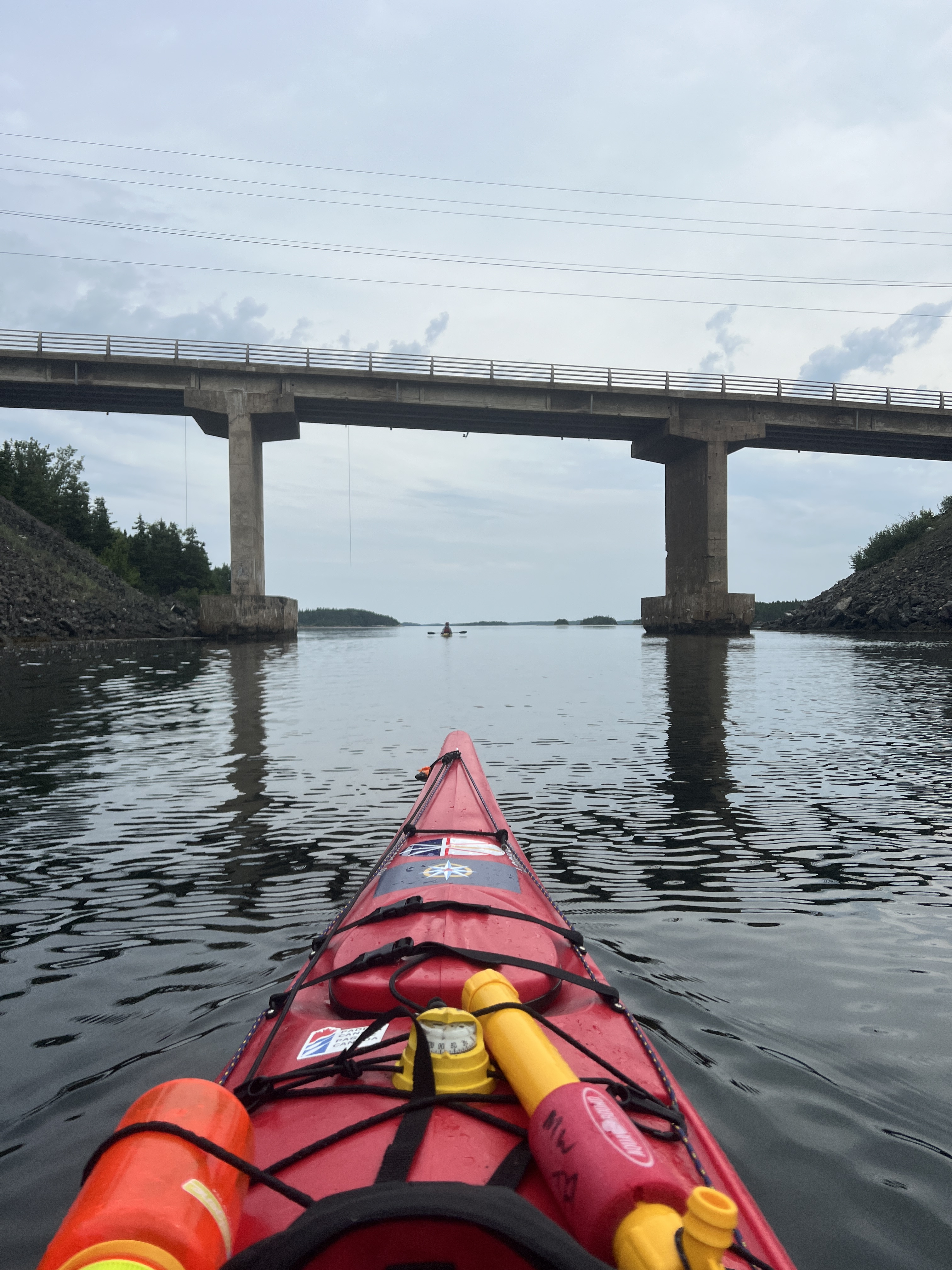
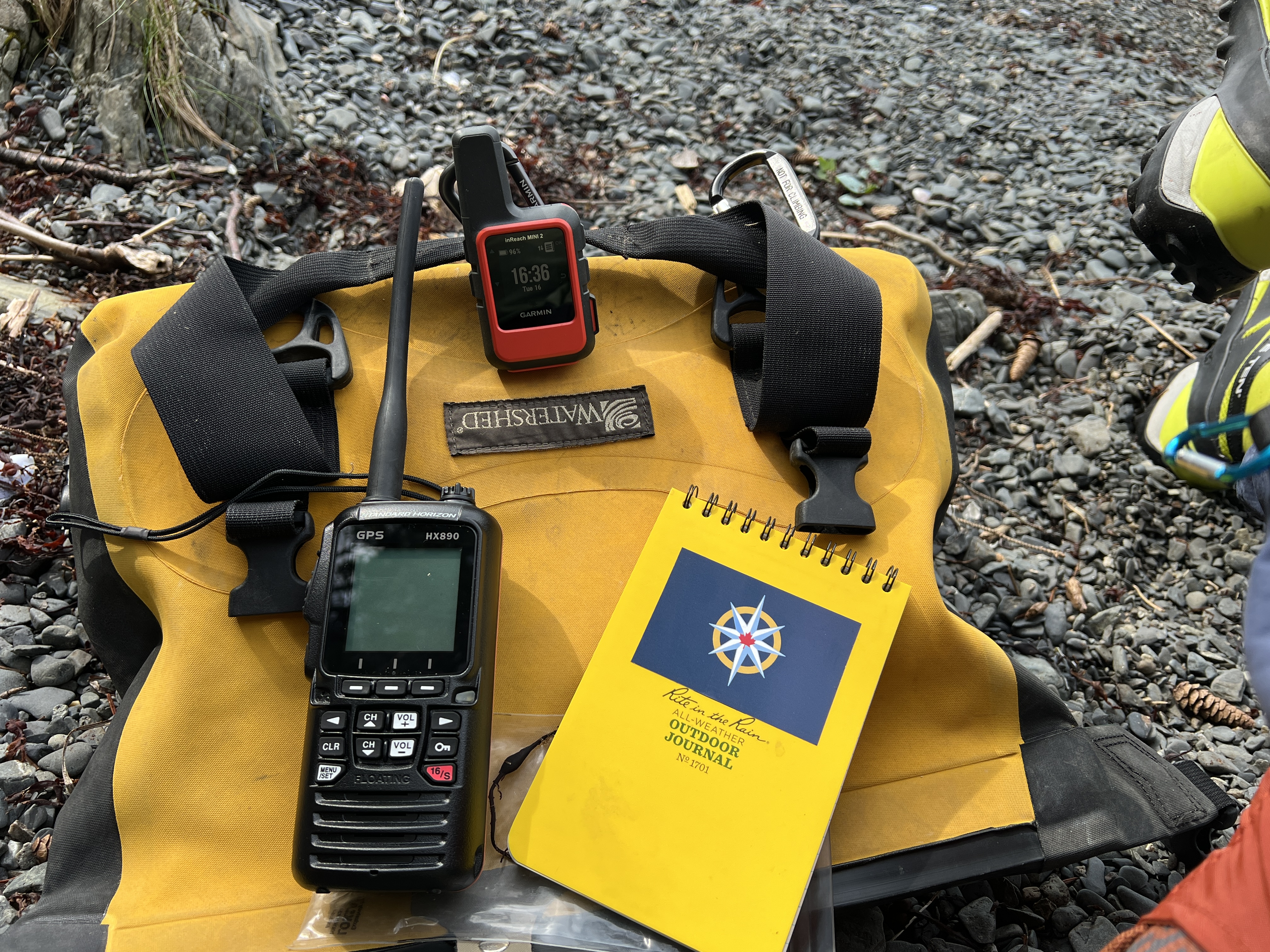
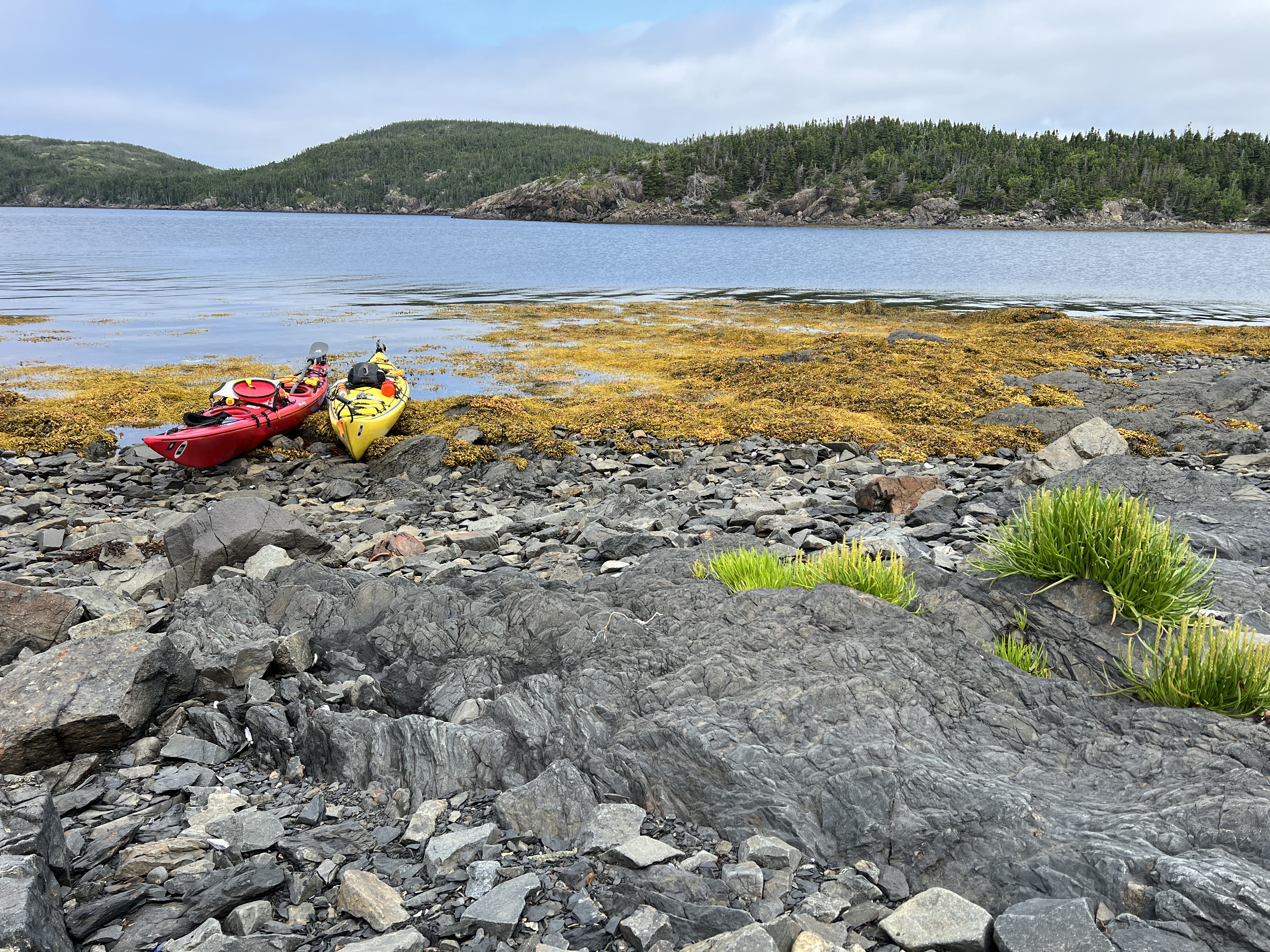

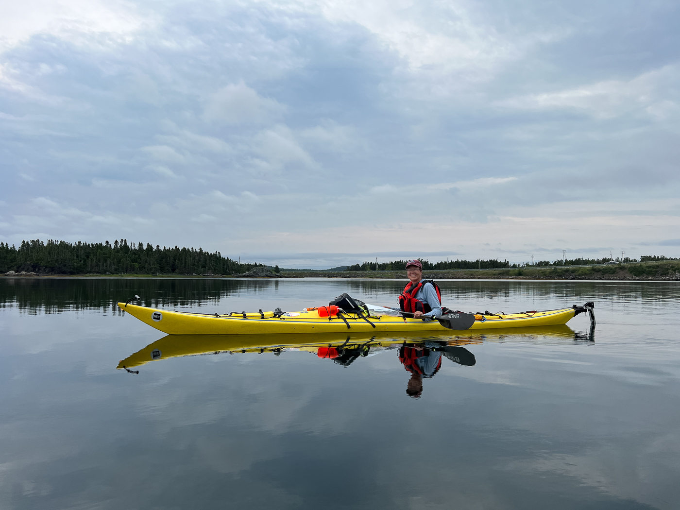

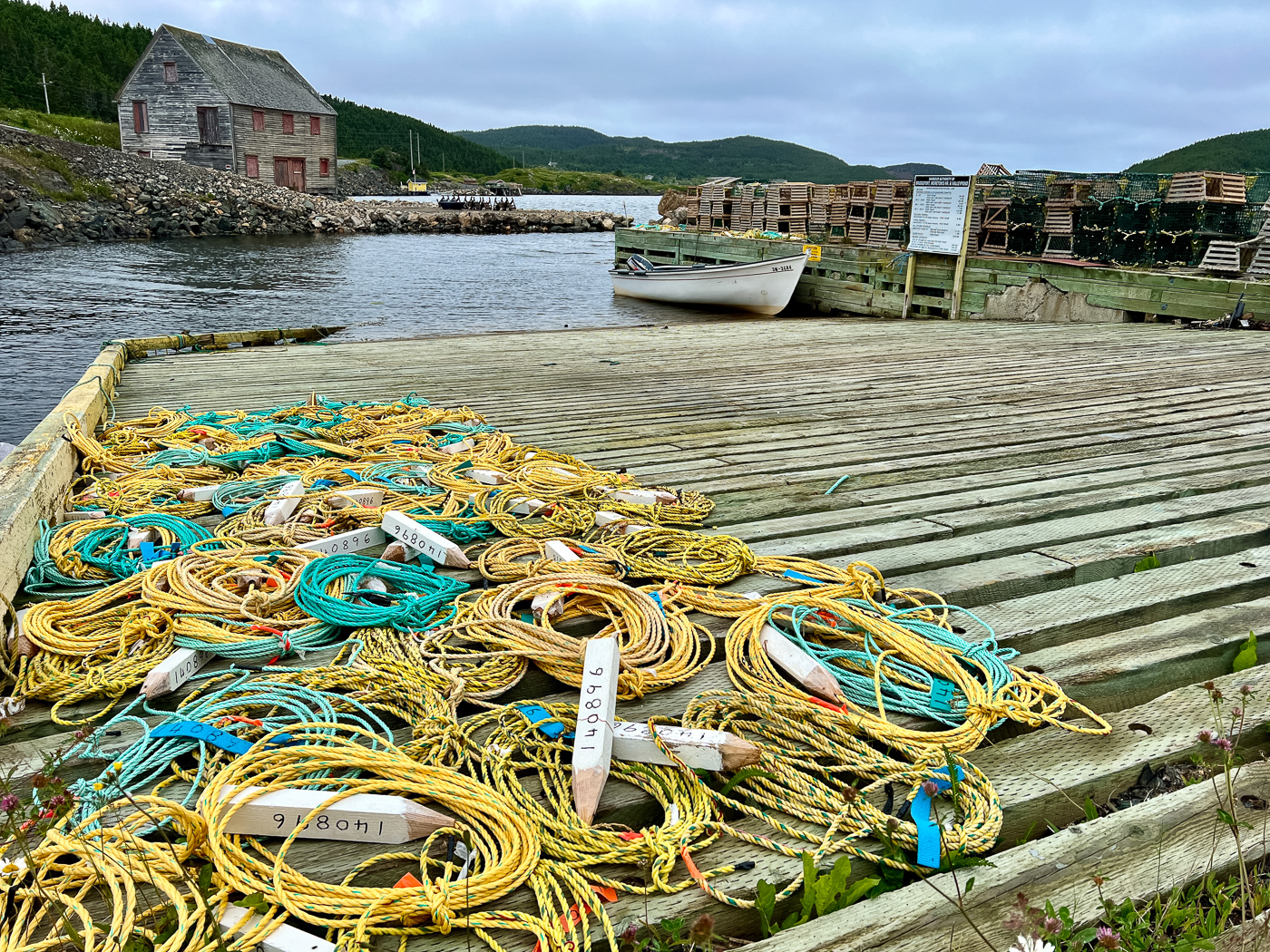


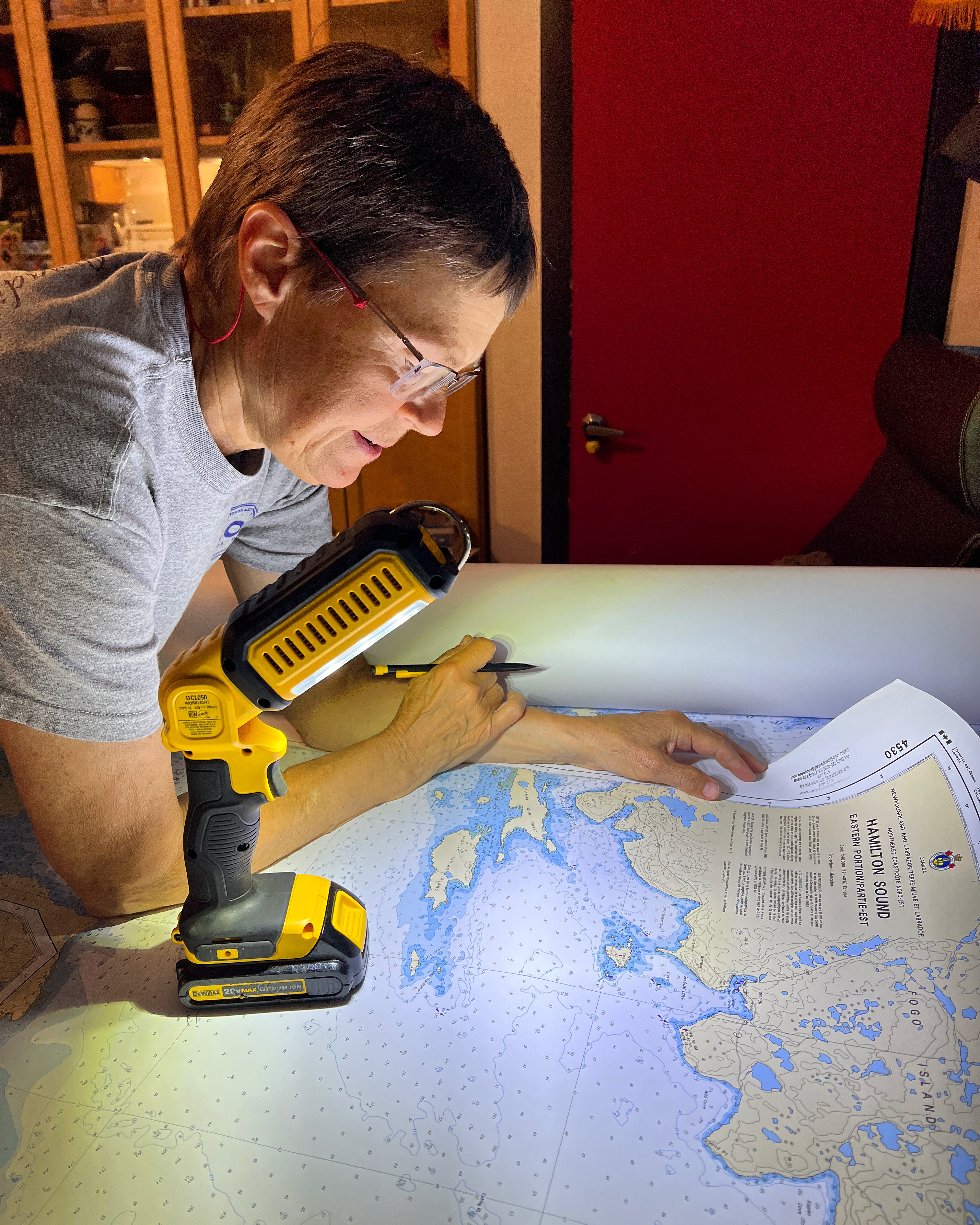
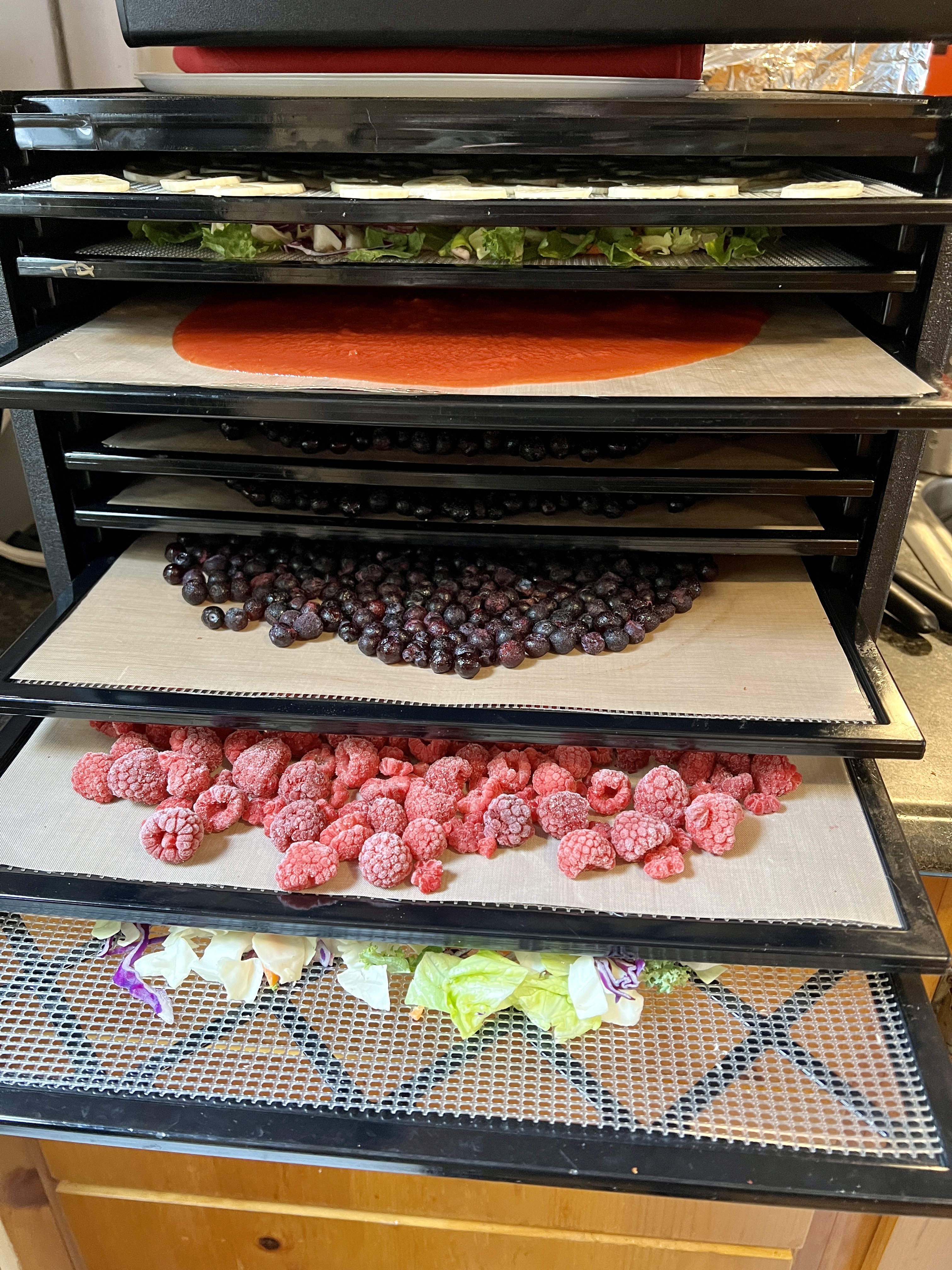


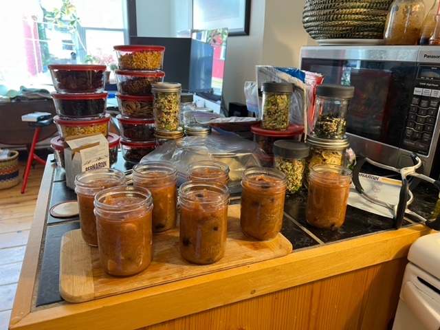
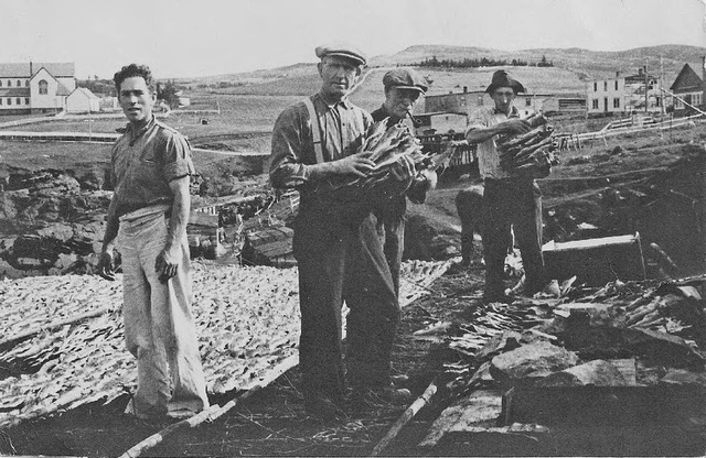
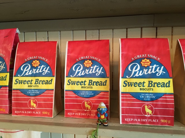
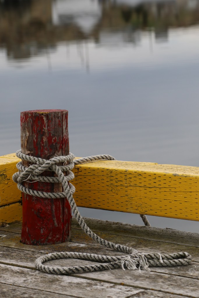
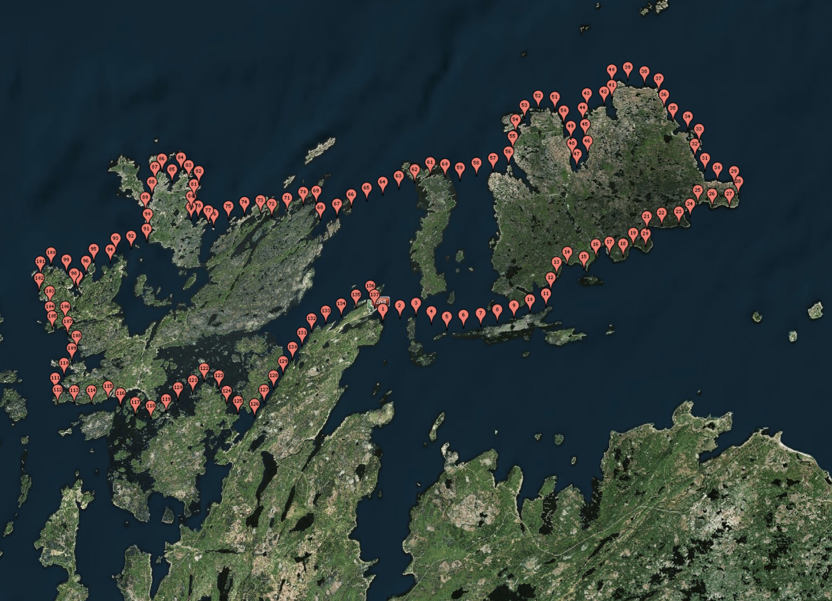
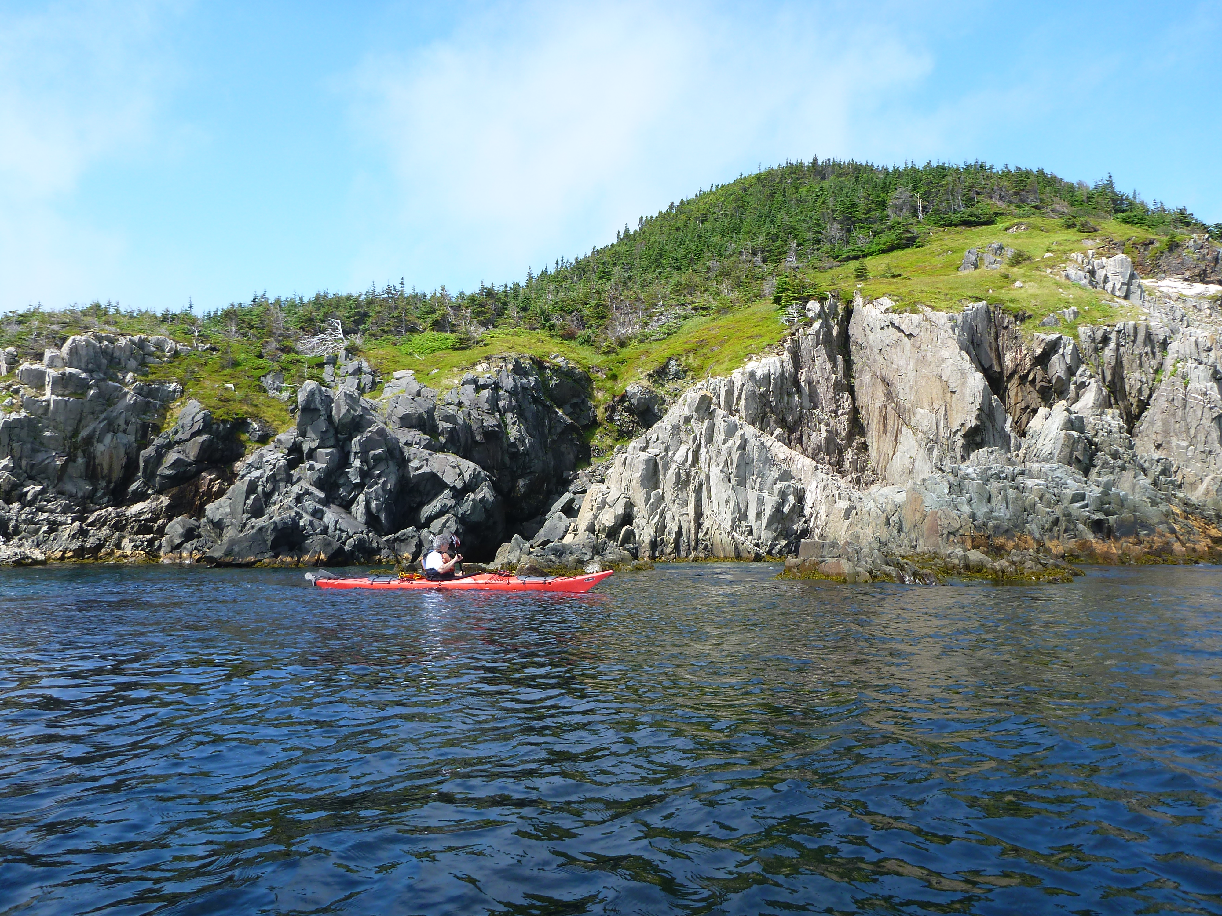
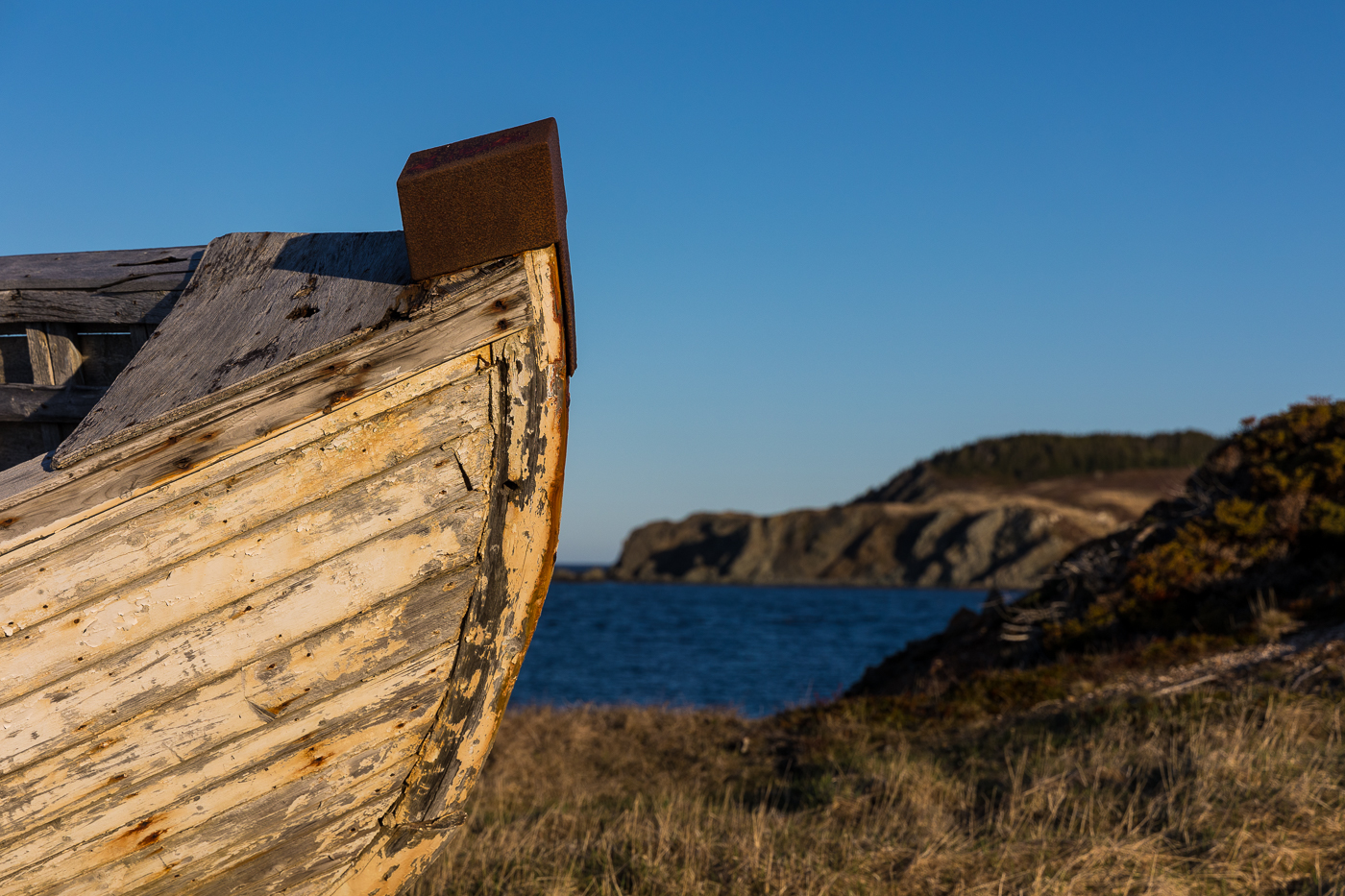
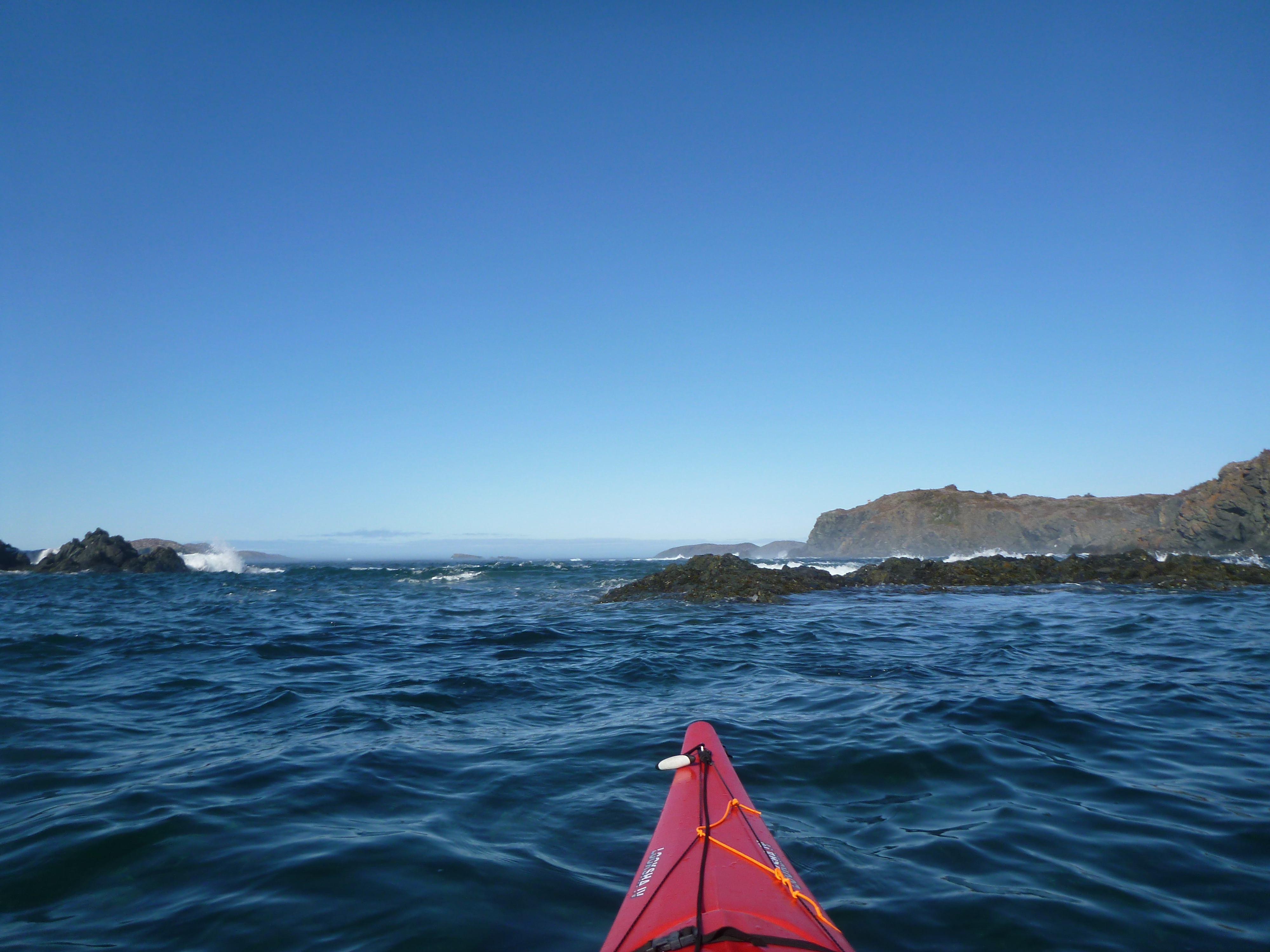
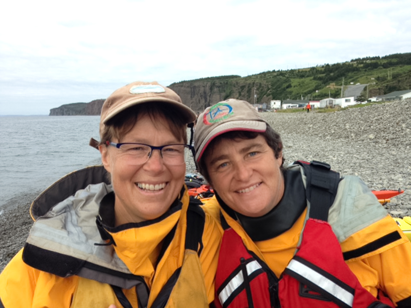
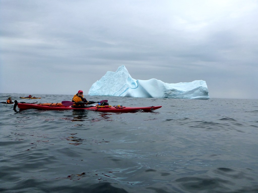
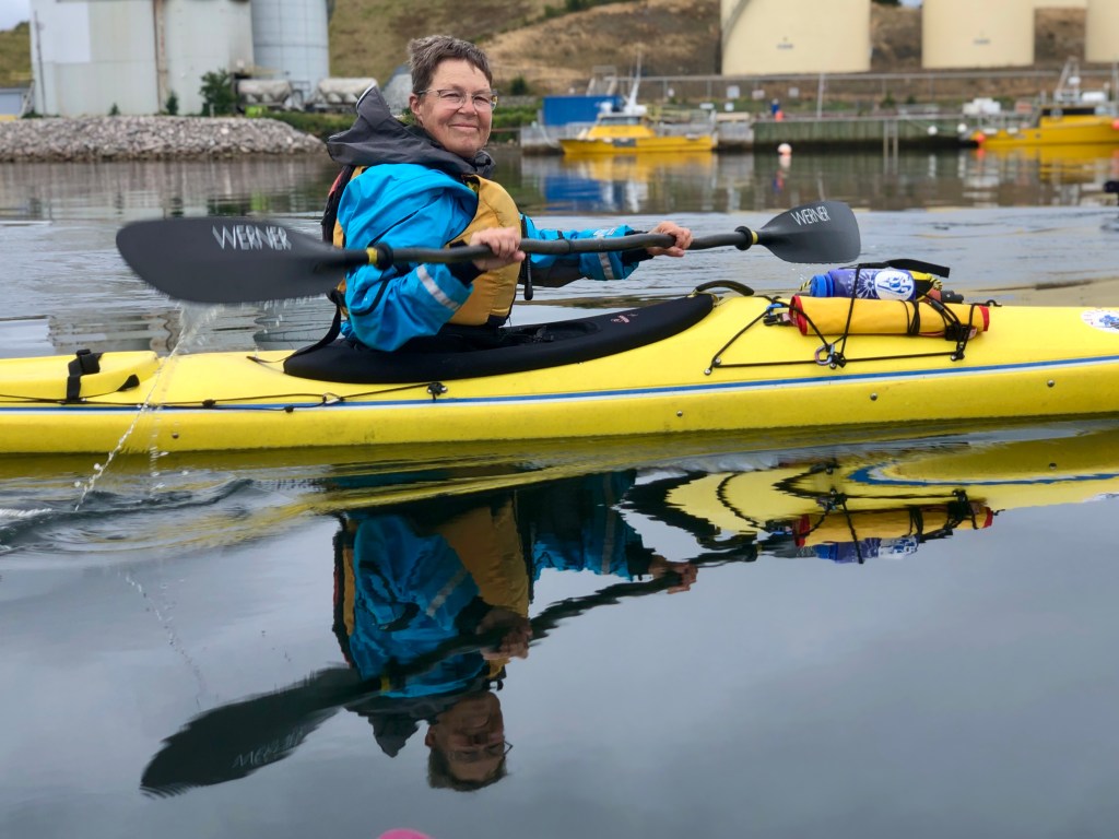


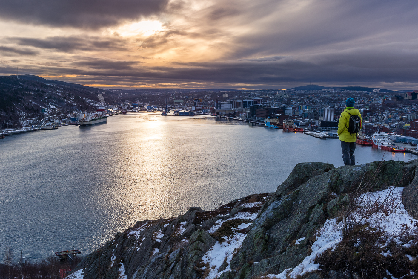
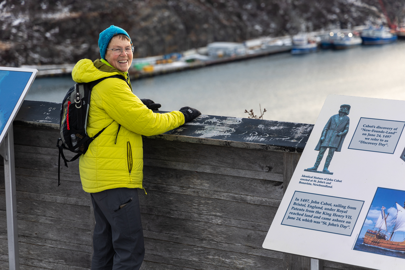
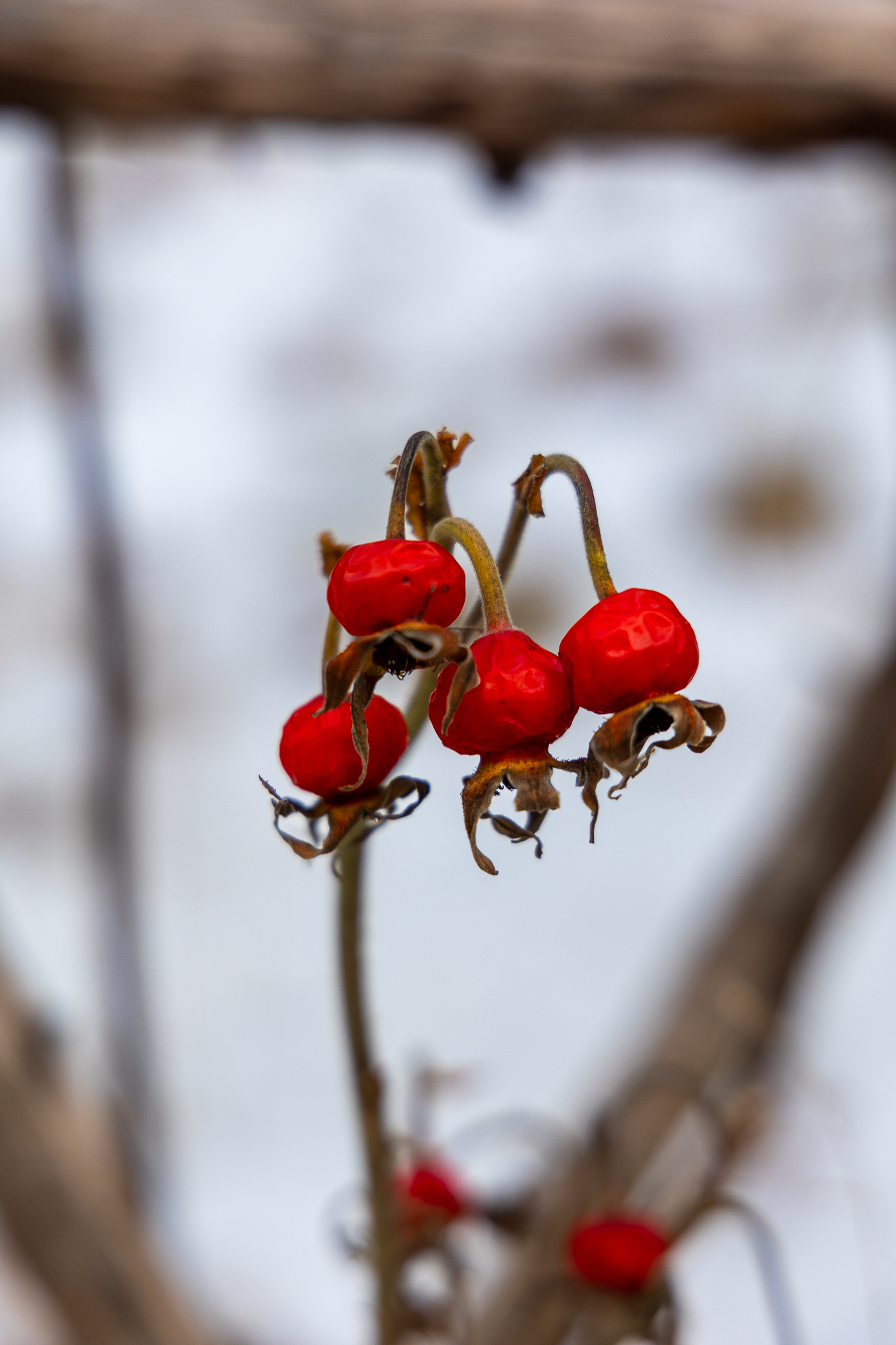
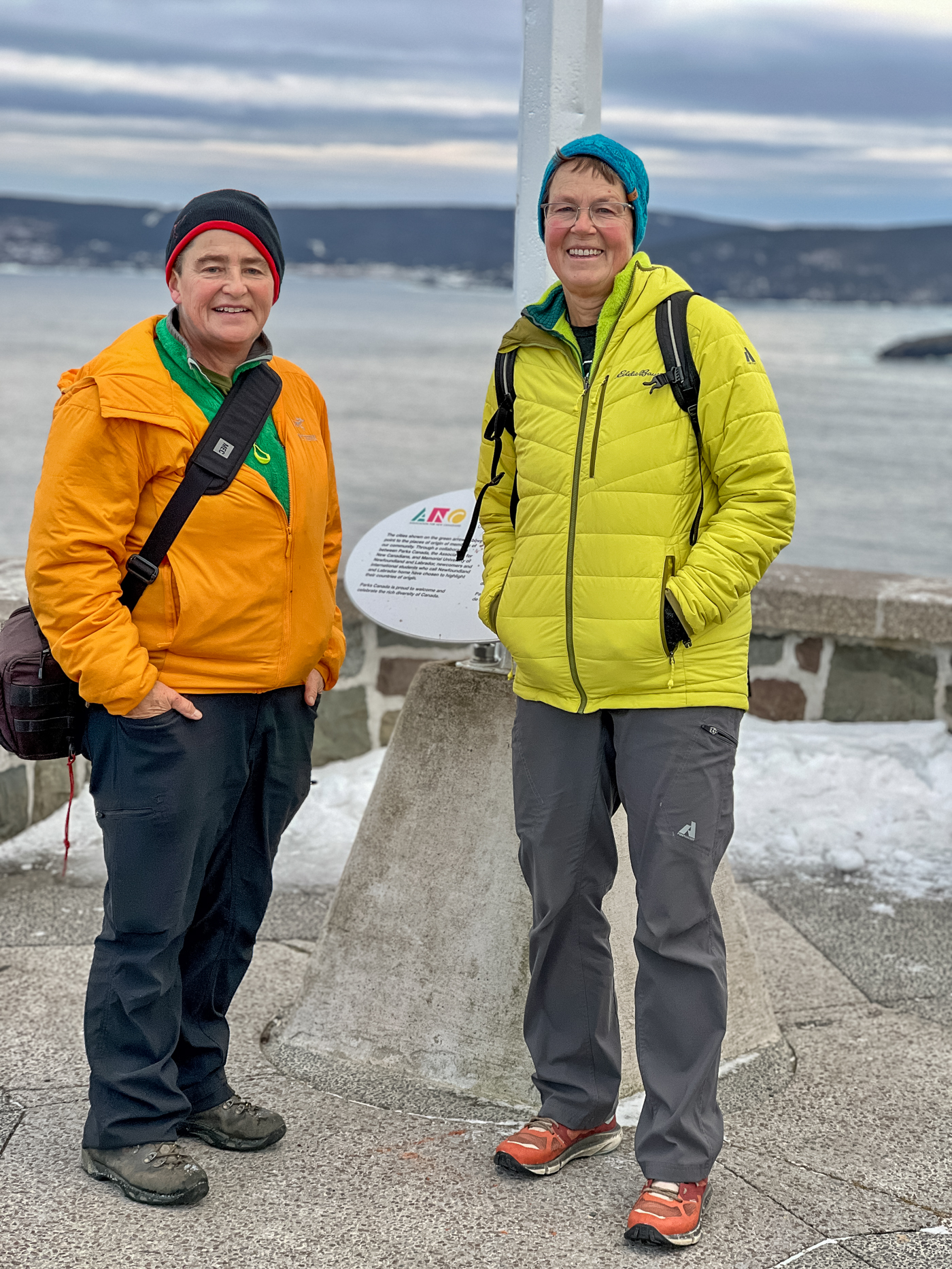
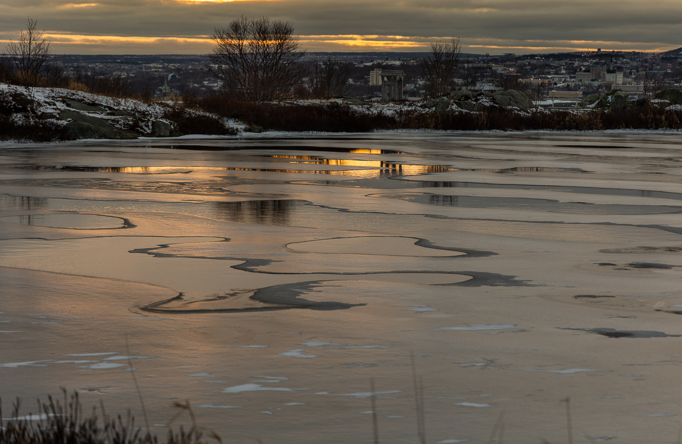


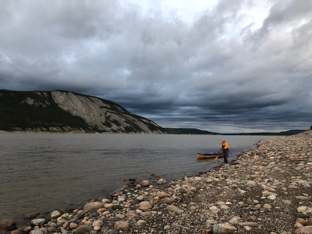
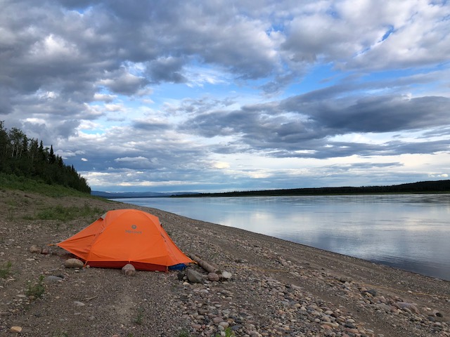
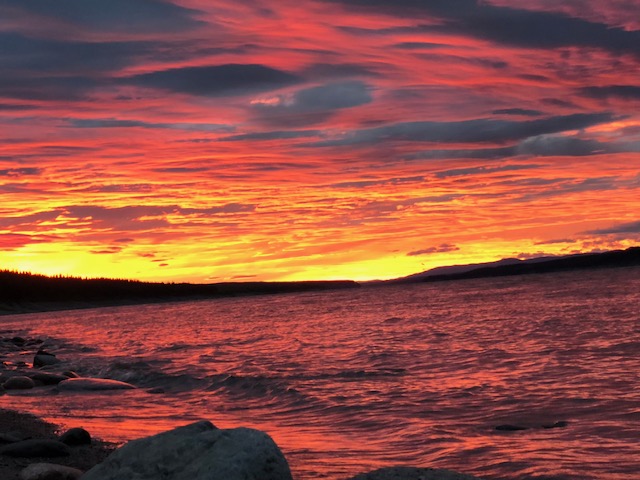
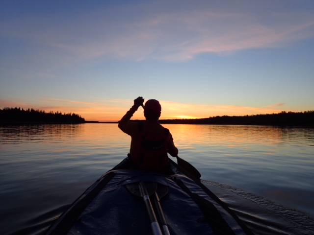


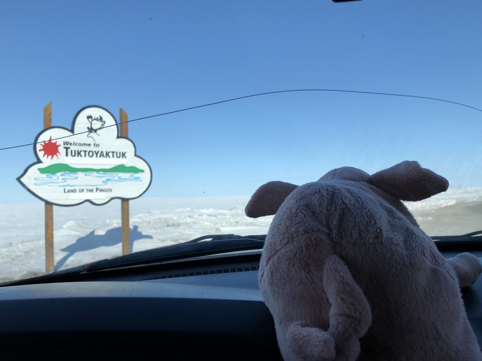


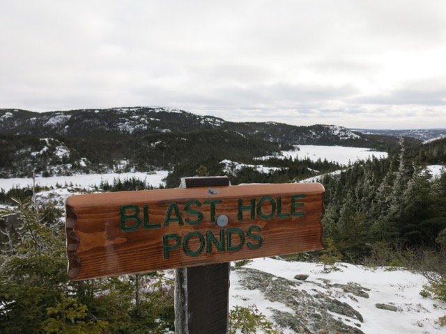
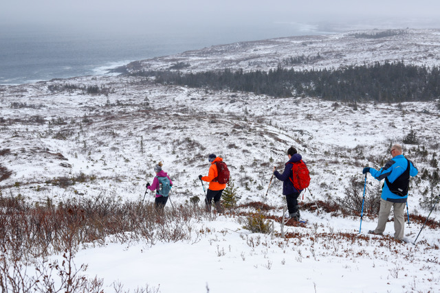
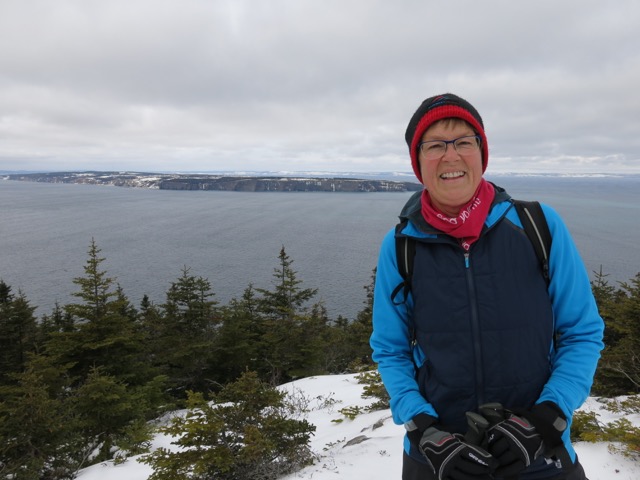

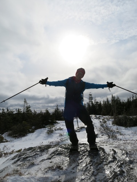


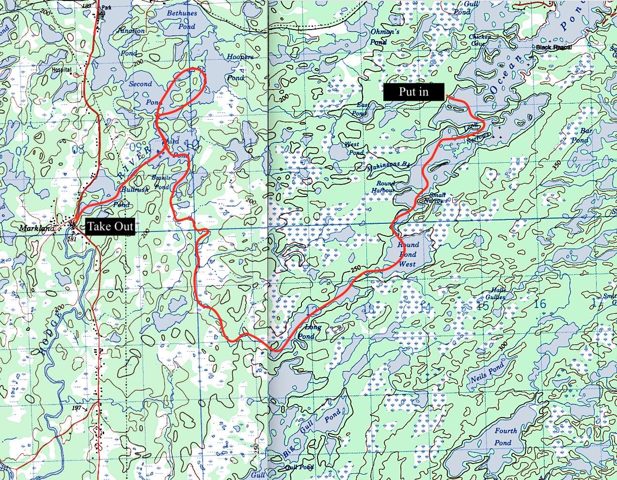

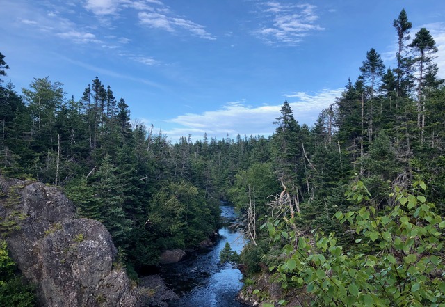
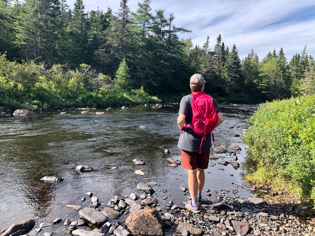
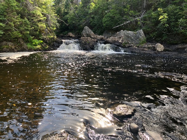
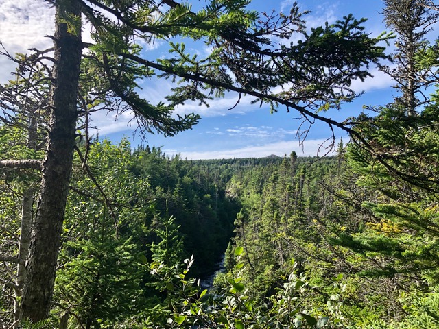
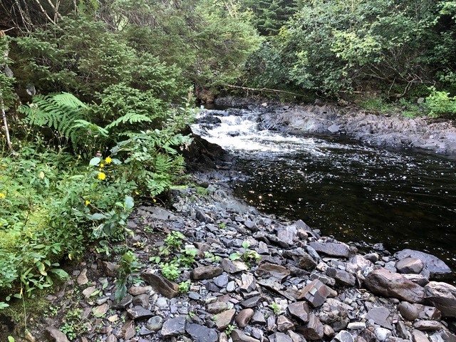
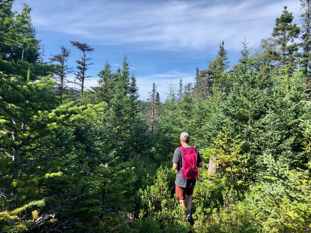

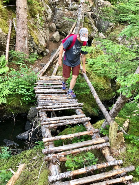
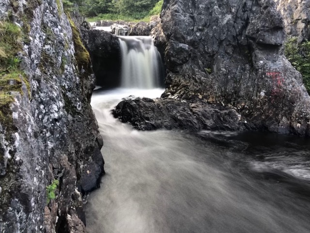


")


